TF1 5GS maps, stats, and open data
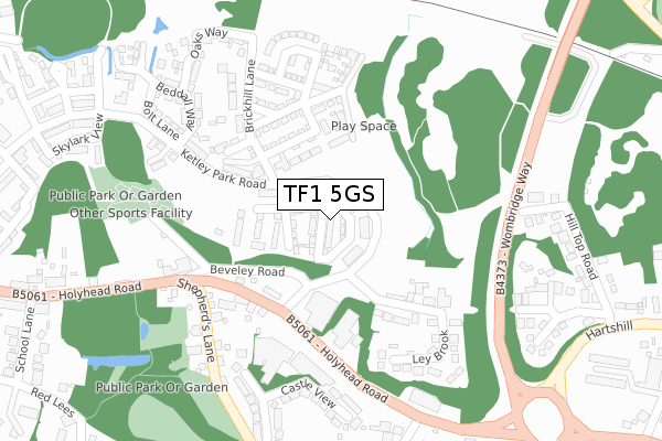
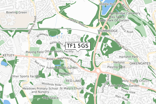
TF1 5GS is located in the Oakengates & Ketley Bank electoral ward, within the unitary authority of Telford and Wrekin and the English Parliamentary constituency of The Wrekin. The Sub Integrated Care Board (ICB) Location is NHS Shropshire, Telford and Wrekin ICB - M2L0M and the police force is West Mercia. This postcode has been in use since July 2018.
TF1 5GS maps


Licence: Open Government Licence (requires attribution)
Attribution: Contains OS data © Crown copyright and database right 2025
Source: Open Postcode Geo
Licence: Open Government Licence (requires attribution)
Attribution: Contains OS data © Crown copyright and database right 2025; Contains Royal Mail data © Royal Mail copyright and database right 2025; Source: Office for National Statistics licensed under the Open Government Licence v.3.0
TF1 5GS geodata
| Easting | 368390 |
| Northing | 311103 |
| Latitude | 52.696691 |
| Longitude | -2.469166 |
Where is TF1 5GS?
| Country | England |
| Postcode District | TF1 |
Politics
| Ward | Oakengates & Ketley Bank |
|---|---|
| Constituency | The Wrekin |
House Prices
Sales of detached houses in TF1 5GS
20, STANEFORD CLOSE, KETLEY, TELFORD, TF1 5GS 2019 21 JUN £235,995 |
37, STANEFORD CLOSE, KETLEY, TELFORD, TF1 5GS 2019 31 MAY £230,995 |
Licence: Contains HM Land Registry data © Crown copyright and database right 2025. This data is licensed under the Open Government Licence v3.0.
Transport
Nearest bus stops to TF1 5GS
| Shepherds Lane (Holyhead Road) | Ketley | 182m |
| Quarry Lane (Holyhead Road) | Ketley | 258m |
| Quarry Lane (Holyhead Road) | Ketley | 260m |
| Shepherds Lane (Holyhead Road) | Ketley | 285m |
| Beveley Road (Hartshill) | Oakengates | 478m |
Nearest railway stations to TF1 5GS
| Oakengates Station | 1.3km |
| Telford Central Station | 2.6km |
| Wellington (Shropshire) Station | 3.3km |
Broadband
Broadband access in TF1 5GS (2020 data)
| Percentage of properties with Next Generation Access | 100.0% |
| Percentage of properties with Superfast Broadband | 100.0% |
| Percentage of properties with Ultrafast Broadband | 100.0% |
| Percentage of properties with Full Fibre Broadband | 100.0% |
Superfast Broadband is between 30Mbps and 300Mbps
Ultrafast Broadband is > 300Mbps
Broadband limitations in TF1 5GS (2020 data)
| Percentage of properties unable to receive 2Mbps | 0.0% |
| Percentage of properties unable to receive 5Mbps | 0.0% |
| Percentage of properties unable to receive 10Mbps | 0.0% |
| Percentage of properties unable to receive 30Mbps | 0.0% |
Deprivation
57.9% of English postcodes are less deprived than TF1 5GS:Food Standards Agency
Three nearest food hygiene ratings to TF1 5GS (metres)


➜ Get more ratings from the Food Standards Agency
Nearest post box to TF1 5GS
| Last Collection | |||
|---|---|---|---|
| Location | Mon-Fri | Sat | Distance |
| Hartshill Avenue | 14:30 | 11:00 | 476m |
| Holyhead Road | 16:45 | 11:15 | 623m |
| Overdale Post Office | 17:15 | 11:00 | 1,144m |
TF1 5GS ITL and TF1 5GS LAU
The below table lists the International Territorial Level (ITL) codes (formerly Nomenclature of Territorial Units for Statistics (NUTS) codes) and Local Administrative Units (LAU) codes for TF1 5GS:
| ITL 1 Code | Name |
|---|---|
| TLG | West Midlands (England) |
| ITL 2 Code | Name |
| TLG2 | Shropshire and Staffordshire |
| ITL 3 Code | Name |
| TLG21 | Telford and Wrekin |
| LAU 1 Code | Name |
| E06000020 | Telford and Wrekin |
TF1 5GS census areas
The below table lists the Census Output Area (OA), Lower Layer Super Output Area (LSOA), and Middle Layer Super Output Area (MSOA) for TF1 5GS:
| Code | Name | |
|---|---|---|
| OA | E00071427 | |
| LSOA | E01014141 | Telford and Wrekin 009C |
| MSOA | E02002936 | Telford and Wrekin 009 |
Nearest postcodes to TF1 5GS
| TF1 5DS | Holyhead Road | 168m |
| TF1 5FF | Ketley Park Road | 178m |
| TF2 6SD | Beveley Road | 211m |
| TF1 5FA | Ketley Park Road | 222m |
| TF1 5ER | Coronation Place | 224m |
| TF1 5GJ | Brickhill Lane | 225m |
| TF1 5EP | Potters Bank | 257m |
| TF1 5EW | Castle View | 283m |
| TF1 5FP | Bolt Lane | 293m |
| TF1 5FQ | Oaks Way | 314m |