TF1 1AJ maps, stats, and open data
- Home
- Postcode
- TF
- TF1
- TF1 1
TF1 1AJ is located in the Haygate & Park electoral ward, within the unitary authority of Telford and Wrekin and the English Parliamentary constituency of The Wrekin. The Sub Integrated Care Board (ICB) Location is NHS Shropshire, Telford and Wrekin ICB - M2L0M and the police force is West Mercia. This postcode has been in use since June 2019.
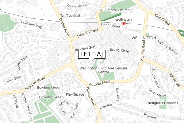
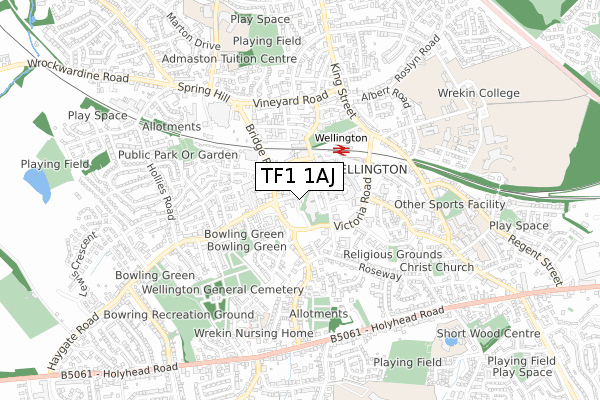
TF1 1AJ maps


Source: OS Open Zoomstack (Ordnance Survey)
Licence: Open Government Licence (requires attribution)
Attribution: Contains OS data © Crown copyright and database right 2025
Source: Open Postcode GeoLicence: Open Government Licence (requires attribution)
Attribution: Contains OS data © Crown copyright and database right 2025; Contains Royal Mail data © Royal Mail copyright and database right 2025; Source: Office for National Statistics licensed under the Open Government Licence v.3.0
TF1 1AJ geodata
| Easting | 364996 |
| Northing | 311444 |
| Latitude | 52.699547 |
| Longitude | -2.519421 |
Where is TF1 1AJ?
| Country | England |
| Postcode District | TF1 |
Politics
| Ward | Haygate & Park |
|---|
| Constituency | The Wrekin |
|---|
Transport
Nearest bus stops to TF1 1AJ
| Dunelm (Bridge Road) | Wellington | 110m |
| Civic Centre (Victoria Road) | Wellington | 124m |
| Dunelm (Bridge Road) | Wellington | 128m |
| Civic Centre (Victoria Road) | Wellington | 130m |
| Cottage Care (Haygate Road) | Wellington | 150m |
Nearest railway stations to TF1 1AJ
| Wellington (Shropshire) Station | 0.2km |
| Oakengates Station | 4.7km |
Broadband
Broadband access in TF1 1AJ (2020 data)
| Percentage of properties with Next Generation Access | 100.0% |
| Percentage of properties with Superfast Broadband | 100.0% |
| Percentage of properties with Ultrafast Broadband | 100.0% |
| Percentage of properties with Full Fibre Broadband | 0.0% |
Superfast Broadband is between 30Mbps and 300Mbps
Ultrafast Broadband is > 300Mbps
Broadband limitations in TF1 1AJ (2020 data)
| Percentage of properties unable to receive 2Mbps | 0.0% |
| Percentage of properties unable to receive 5Mbps | 0.0% |
| Percentage of properties unable to receive 10Mbps | 0.0% |
| Percentage of properties unable to receive 30Mbps | 0.0% |
Deprivation
78.3% of English postcodes are less deprived than
TF1 1AJ:
Food Standards Agency
Three nearest food hygiene ratings to TF1 1AJ (metres)
Wellington Express
Crown House Walker Street
45m
Wondercook
Oriental Chef
➜ Get more ratings from the Food Standards Agency
Nearest post box to TF1 1AJ
| | Last Collection | |
|---|
| Location | Mon-Fri | Sat | Distance |
|---|
| Walker Street | 19:00 | 12:00 | 28m |
| Walker Street Meter Box | 19:00 | | 30m |
| Market Street | 18:45 | 12:30 | 163m |
TF1 1AJ ITL and TF1 1AJ LAU
The below table lists the International Territorial Level (ITL) codes (formerly Nomenclature of Territorial Units for Statistics (NUTS) codes) and Local Administrative Units (LAU) codes for TF1 1AJ:
| ITL 1 Code | Name |
|---|
| TLG | West Midlands (England) |
| ITL 2 Code | Name |
|---|
| TLG2 | Shropshire and Staffordshire |
| ITL 3 Code | Name |
|---|
| TLG21 | Telford and Wrekin |
| LAU 1 Code | Name |
|---|
| E06000020 | Telford and Wrekin |
TF1 1AJ census areas
The below table lists the Census Output Area (OA), Lower Layer Super Output Area (LSOA), and Middle Layer Super Output Area (MSOA) for TF1 1AJ:
| Code | Name |
|---|
| OA | E00071435 | |
|---|
| LSOA | E01014145 | Telford and Wrekin 012D |
|---|
| MSOA | E02002939 | Telford and Wrekin 012 |
|---|
Nearest postcodes to TF1 1AJ


