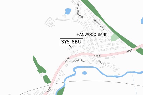
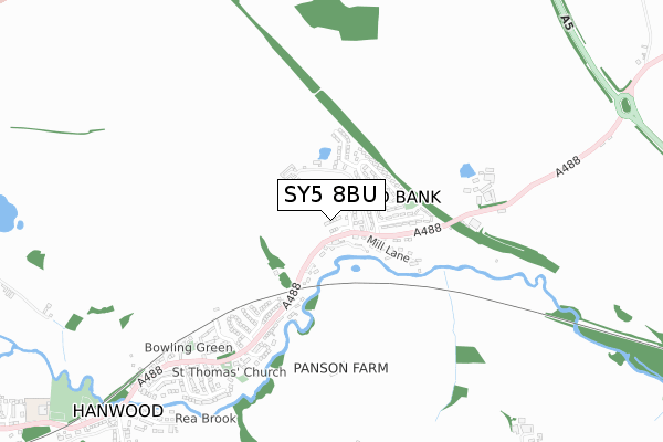
SY5 8BU is located in the Longden electoral ward, within the unitary authority of Shropshire and the English Parliamentary constituency of Shrewsbury and Atcham. The Sub Integrated Care Board (ICB) Location is NHS Shropshire, Telford and Wrekin ICB - M2L0M and the police force is West Mercia. This postcode has been in use since March 2019.


GetTheData
Source: OS Open Zoomstack (Ordnance Survey)
Licence: Open Government Licence (requires attribution)
Attribution: Contains OS data © Crown copyright and database right 2025
Source: Open Postcode Geo
Licence: Open Government Licence (requires attribution)
Attribution: Contains OS data © Crown copyright and database right 2025; Contains Royal Mail data © Royal Mail copyright and database right 2025; Source: Office for National Statistics licensed under the Open Government Licence v.3.0
| Easting | 344760 |
| Northing | 310157 |
| Latitude | 52.686288 |
| Longitude | -2.818629 |
GetTheData
Source: Open Postcode Geo
Licence: Open Government Licence
| Country | England |
| Postcode District | SY5 |
➜ See where SY5 is on a map ➜ Where is Hanwood Bank? | |
GetTheData
Source: Land Registry Price Paid Data
Licence: Open Government Licence
| Ward | Longden |
| Constituency | Shrewsbury And Atcham |
GetTheData
Source: ONS Postcode Database
Licence: Open Government Licence
| Caradoc View Jct (A488) | Hanwood | 182m |
| Caradoc View Jct (A488) | Hanwood | 186m |
| Poplars Avenue Jct (A488) | Hanwood | 418m |
| Poplars Avenue Jct (A488) | Hanwood | 422m |
| Vine Close Jct (A488) | Hanwood | 600m |
| Shrewsbury Station | 5.5km |
GetTheData
Source: NaPTAN
Licence: Open Government Licence
| Percentage of properties with Next Generation Access | 100.0% |
| Percentage of properties with Superfast Broadband | 100.0% |
| Percentage of properties with Ultrafast Broadband | 100.0% |
| Percentage of properties with Full Fibre Broadband | 100.0% |
Superfast Broadband is between 30Mbps and 300Mbps
Ultrafast Broadband is > 300Mbps
| Percentage of properties unable to receive 2Mbps | 0.0% |
| Percentage of properties unable to receive 5Mbps | 0.0% |
| Percentage of properties unable to receive 10Mbps | 0.0% |
| Percentage of properties unable to receive 30Mbps | 0.0% |
GetTheData
Source: Ofcom
Licence: Ofcom Terms of Use (requires attribution)
GetTheData
Source: ONS Postcode Database
Licence: Open Government Licence


➜ Get more ratings from the Food Standards Agency
GetTheData
Source: Food Standards Agency
Licence: FSA terms & conditions
| Last Collection | |||
|---|---|---|---|
| Location | Mon-Fri | Sat | Distance |
| Hook-a-gate | 16:00 | 11:15 | 2,034m |
| Annscroft | 16:00 | 11:15 | 2,355m |
| Nobold | 16:00 | 11:15 | 2,575m |
GetTheData
Source: Dracos
Licence: Creative Commons Attribution-ShareAlike
The below table lists the International Territorial Level (ITL) codes (formerly Nomenclature of Territorial Units for Statistics (NUTS) codes) and Local Administrative Units (LAU) codes for SY5 8BU:
| ITL 1 Code | Name |
|---|---|
| TLG | West Midlands (England) |
| ITL 2 Code | Name |
| TLG2 | Shropshire and Staffordshire |
| ITL 3 Code | Name |
| TLG22 | Shropshire |
| LAU 1 Code | Name |
| E06000051 | Shropshire |
GetTheData
Source: ONS Postcode Directory
Licence: Open Government Licence
The below table lists the Census Output Area (OA), Lower Layer Super Output Area (LSOA), and Middle Layer Super Output Area (MSOA) for SY5 8BU:
| Code | Name | |
|---|---|---|
| OA | E00147441 | |
| LSOA | E01028955 | Shropshire 026B |
| MSOA | E02006039 | Shropshire 026 |
GetTheData
Source: ONS Postcode Directory
Licence: Open Government Licence
| SY5 8LX | Bridge Lane | 90m |
| SY5 8ND | Caradoc View | 157m |
| SY5 8NA | Mill Cottages | 212m |
| SY5 8LZ | 227m | |
| SY5 8NF | Caradoc View | 231m |
| SY5 8LY | Main Road | 242m |
| SY5 8LT | Mill Lane | 249m |
| SY5 8LU | Dingle Cottages | 263m |
| SY5 8NE | Caradoc View | 271m |
| SY5 8NQ | Oaklands View | 275m |
GetTheData
Source: Open Postcode Geo; Land Registry Price Paid Data
Licence: Open Government Licence