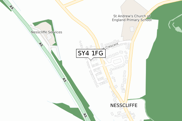
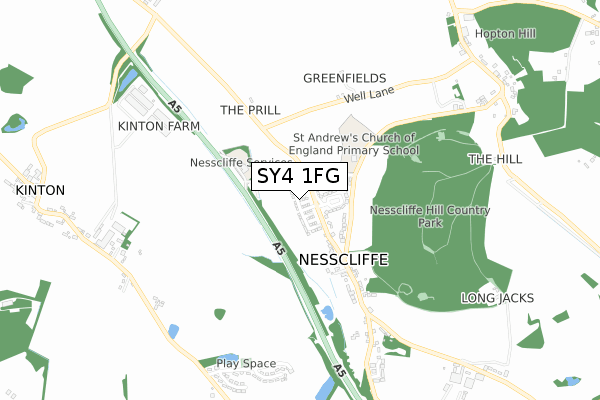
SY4 1FG is located in the Loton electoral ward, within the unitary authority of Shropshire and the English Parliamentary constituency of Shrewsbury and Atcham. The Sub Integrated Care Board (ICB) Location is NHS Shropshire, Telford and Wrekin ICB - M2L0M and the police force is West Mercia. This postcode has been in use since October 2019.


GetTheData
Source: OS Open Zoomstack (Ordnance Survey)
Licence: Open Government Licence (requires attribution)
Attribution: Contains OS data © Crown copyright and database right 2025
Source: Open Postcode Geo
Licence: Open Government Licence (requires attribution)
Attribution: Contains OS data © Crown copyright and database right 2025; Contains Royal Mail data © Royal Mail copyright and database right 2025; Source: Office for National Statistics licensed under the Open Government Licence v.3.0
| Easting | 338043 |
| Northing | 319647 |
| Latitude | 52.770859 |
| Longitude | -2.919777 |
GetTheData
Source: Open Postcode Geo
Licence: Open Government Licence
| Country | England |
| Postcode District | SY4 |
➜ See where SY4 is on a map ➜ Where is Nesscliffe? | |
GetTheData
Source: Land Registry Price Paid Data
Licence: Open Government Licence
| Ward | Loton |
| Constituency | Shrewsbury And Atcham |
GetTheData
Source: ONS Postcode Database
Licence: Open Government Licence
| The Crescent (A5) | Nesscliffe | 56m |
| The Crescent (A5) | Nesscliffe | 133m |
| Old Three Pigeons Ph (A5) | Nesscliffe | 365m |
| Old Three Pigeons Ph (A5) | Nesscliffe | 377m |
| Queensway Jct (Wilcott Avenue) | Wilcott | 828m |
GetTheData
Source: NaPTAN
Licence: Open Government Licence
GetTheData
Source: ONS Postcode Database
Licence: Open Government Licence


➜ Get more ratings from the Food Standards Agency
GetTheData
Source: Food Standards Agency
Licence: FSA terms & conditions
| Last Collection | |||
|---|---|---|---|
| Location | Mon-Fri | Sat | Distance |
| Shotatton | 16:45 | 11:00 | 3,542m |
| Baschurch Post Office | 16:45 | 11:45 | 5,116m |
| Montford Bridge | 17:15 | 11:30 | 6,447m |
GetTheData
Source: Dracos
Licence: Creative Commons Attribution-ShareAlike
The below table lists the International Territorial Level (ITL) codes (formerly Nomenclature of Territorial Units for Statistics (NUTS) codes) and Local Administrative Units (LAU) codes for SY4 1FG:
| ITL 1 Code | Name |
|---|---|
| TLG | West Midlands (England) |
| ITL 2 Code | Name |
| TLG2 | Shropshire and Staffordshire |
| ITL 3 Code | Name |
| TLG22 | Shropshire |
| LAU 1 Code | Name |
| E06000051 | Shropshire |
GetTheData
Source: ONS Postcode Directory
Licence: Open Government Licence
The below table lists the Census Output Area (OA), Lower Layer Super Output Area (LSOA), and Middle Layer Super Output Area (MSOA) for SY4 1FG:
| Code | Name | |
|---|---|---|
| OA | E00147521 | |
| LSOA | E01028969 | Shropshire 014B |
| MSOA | E02006028 | Shropshire 014 |
GetTheData
Source: ONS Postcode Directory
Licence: Open Government Licence
| SY4 1DE | The Crescent | 142m |
| SY4 1DF | The Crescent | 154m |
| SY4 1BY | 251m | |
| SY4 1DD | The Prill | 383m |
| SY4 1DB | 463m | |
| SY4 1DH | 516m | |
| SY4 1BG | Kingsway | 784m |
| SY4 1BE | Wilcot Avenue | 815m |
| SY4 1BA | Fairview | 819m |
| SY4 1BD | Queensway | 847m |
GetTheData
Source: Open Postcode Geo; Land Registry Price Paid Data
Licence: Open Government Licence