SY10 7FA maps, stats, and open data
SY10 7FA is located in the Gobowen, Selattyn and Weston Rhyn electoral ward, within the unitary authority of Shropshire and the English Parliamentary constituency of North Shropshire. The Sub Integrated Care Board (ICB) Location is NHS Shropshire, Telford and Wrekin ICB - M2L0M and the police force is West Mercia. This postcode has been in use since November 2019.
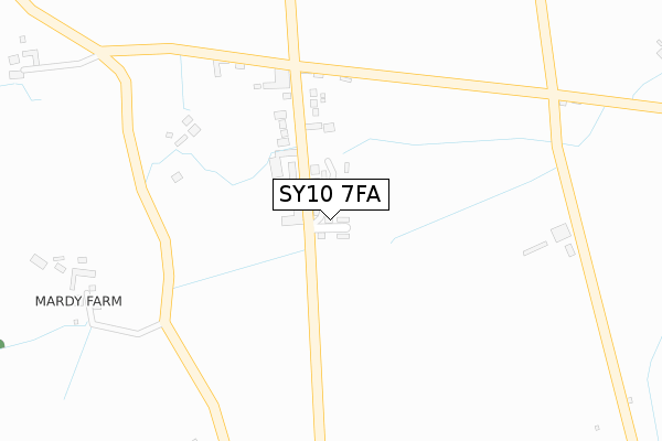
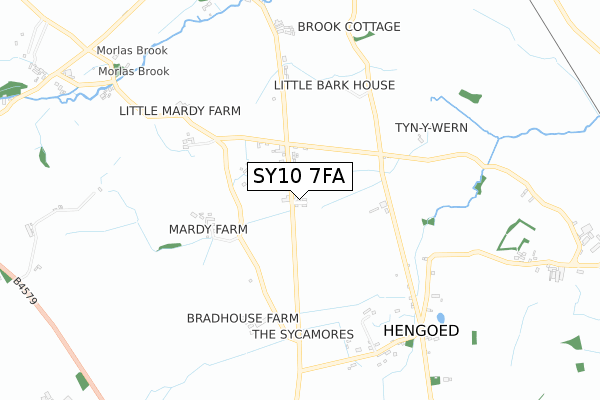
SY10 7FA maps


Licence: Open Government Licence (requires attribution)
Attribution: Contains OS data © Crown copyright and database right 2025
Source: Open Postcode Geo
Licence: Open Government Licence (requires attribution)
Attribution: Contains OS data © Crown copyright and database right 2025; Contains Royal Mail data © Royal Mail copyright and database right 2025; Source: Office for National Statistics licensed under the Open Government Licence v.3.0
SY10 7FA geodata
| Easting | 328484 |
| Northing | 333987 |
| Latitude | 52.898562 |
| Longitude | -3.064586 |
Where is SY10 7FA?
| Country | England |
| Postcode District | SY10 |
Politics
| Ward | Gobowen, Selattyn And Weston Rhyn |
|---|---|
| Constituency | North Shropshire |
Transport
Nearest bus stops to SY10 7FA
| Last Inn (Main Road) | Hengoed | 205m |
| Last Inn (Main Road) | Hengoed | 215m |
Nearest railway stations to SY10 7FA
| Gobowen Station | 1.9km |
| Chirk Station | 3.8km |
Deprivation
56% of English postcodes are less deprived than SY10 7FA:Food Standards Agency
Three nearest food hygiene ratings to SY10 7FA (metres)


➜ Get more ratings from the Food Standards Agency
Nearest post box to SY10 7FA
| Last Collection | |||
|---|---|---|---|
| Location | Mon-Fri | Sat | Distance |
| Somerfield | 18:00 | 12:00 | 4,119m |
| Beatrice Street | 18:00 | 12:00 | 4,239m |
| Middleton Road | 17:45 | 11:30 | 4,603m |
SY10 7FA ITL and SY10 7FA LAU
The below table lists the International Territorial Level (ITL) codes (formerly Nomenclature of Territorial Units for Statistics (NUTS) codes) and Local Administrative Units (LAU) codes for SY10 7FA:
| ITL 1 Code | Name |
|---|---|
| TLG | West Midlands (England) |
| ITL 2 Code | Name |
| TLG2 | Shropshire and Staffordshire |
| ITL 3 Code | Name |
| TLG22 | Shropshire |
| LAU 1 Code | Name |
| E06000051 | Shropshire |
SY10 7FA census areas
The below table lists the Census Output Area (OA), Lower Layer Super Output Area (LSOA), and Middle Layer Super Output Area (MSOA) for SY10 7FA:
| Code | Name | |
|---|---|---|
| OA | E00147230 | |
| LSOA | E01028910 | Shropshire 003A |
| MSOA | E02006023 | Shropshire 003 |
Nearest postcodes to SY10 7FA
| SY10 7EU | 119m | |
| SY10 7EY | 381m | |
| SY10 7ES | 526m | |
| SY10 7EX | Meadow Fields | 528m |
| SY10 7EP | 561m | |
| SY10 7EH | 631m | |
| SY10 7ET | 681m | |
| SY10 7LF | 861m | |
| SY10 7EW | 927m | |
| SY10 7EQ | 966m |