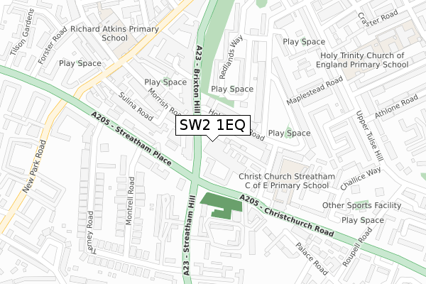
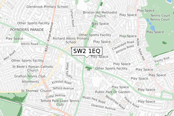
SW2 1EQ is located in the Brixton Rush Common electoral ward, within the London borough of Lambeth and the English Parliamentary constituency of Streatham. The Sub Integrated Care Board (ICB) Location is NHS South East London ICB - 72Q and the police force is Metropolitan Police. This postcode has been in use since April 2020.


GetTheData
Source: OS Open Zoomstack (Ordnance Survey)
Licence: Open Government Licence (requires attribution)
Attribution: Contains OS data © Crown copyright and database right 2025
Source: Open Postcode Geo
Licence: Open Government Licence (requires attribution)
Attribution: Contains OS data © Crown copyright and database right 2025; Contains Royal Mail data © Royal Mail copyright and database right 2025; Source: Office for National Statistics licensed under the Open Government Licence v.3.0
| Easting | 530482 |
| Northing | 173552 |
| Latitude | 51.445934 |
| Longitude | -0.123767 |
GetTheData
Source: Open Postcode Geo
Licence: Open Government Licence
| Country | England |
| Postcode District | SW2 |
➜ See where SW2 is on a map ➜ Where is Streatham? | |
GetTheData
Source: Land Registry Price Paid Data
Licence: Open Government Licence
| Ward | Brixton Rush Common |
| Constituency | Streatham |
GetTheData
Source: ONS Postcode Database
Licence: Open Government Licence
| Holmewood Road (Brixton Hill) | Streatham Hill | 130m |
| Christchurch Road (Streatham Hill) | Streatham Hill | 164m |
| Streatham Place | Streatham Hill | 172m |
| Streatham Hillchristchurch Rd (Streatham Hill) | Streatham Hill | 188m |
| Holmewood Road (Brixton Hill) | Streatham Hill | 206m |
| Streatham Hill Station | 0.9km |
| Tulse Hill Station | 1.5km |
| Herne Hill Station | 1.7km |
GetTheData
Source: NaPTAN
Licence: Open Government Licence
GetTheData
Source: ONS Postcode Database
Licence: Open Government Licence


➜ Get more ratings from the Food Standards Agency
GetTheData
Source: Food Standards Agency
Licence: FSA terms & conditions
| Last Collection | |||
|---|---|---|---|
| Location | Mon-Fri | Sat | Distance |
| 300 Brixton Hill | 17:30 | 12:00 | 63m |
| Christchurch Road | 17:30 | 12:00 | 251m |
| Streatham Hill | 17:30 | 12:00 | 285m |
GetTheData
Source: Dracos
Licence: Creative Commons Attribution-ShareAlike
The below table lists the International Territorial Level (ITL) codes (formerly Nomenclature of Territorial Units for Statistics (NUTS) codes) and Local Administrative Units (LAU) codes for SW2 1EQ:
| ITL 1 Code | Name |
|---|---|
| TLI | London |
| ITL 2 Code | Name |
| TLI4 | Inner London - East |
| ITL 3 Code | Name |
| TLI45 | Lambeth |
| LAU 1 Code | Name |
| E09000022 | Lambeth |
GetTheData
Source: ONS Postcode Directory
Licence: Open Government Licence
The below table lists the Census Output Area (OA), Lower Layer Super Output Area (LSOA), and Middle Layer Super Output Area (MSOA) for SW2 1EQ:
| Code | Name | |
|---|---|---|
| OA | E00015249 | |
| LSOA | E01003025 | Lambeth 021E |
| MSOA | E02000638 | Lambeth 021 |
GetTheData
Source: ONS Postcode Directory
Licence: Open Government Licence
| SW2 1NR | Brixton Hill | 21m |
| SW2 3UB | Christchurch Road | 54m |
| SW2 3RN | Rush Common Mews | 54m |
| SW2 1HT | Brixton Hill | 56m |
| SW2 3UA | Christchurch Road | 64m |
| SW2 3RR | Holmewood Road | 72m |
| SW2 3RP | Holmewood Road | 79m |
| SW2 1NP | Brixton Hill | 91m |
| SW2 3UD | Christchurch Road | 92m |
| SW2 4EG | Morrish Road | 98m |
GetTheData
Source: Open Postcode Geo; Land Registry Price Paid Data
Licence: Open Government Licence