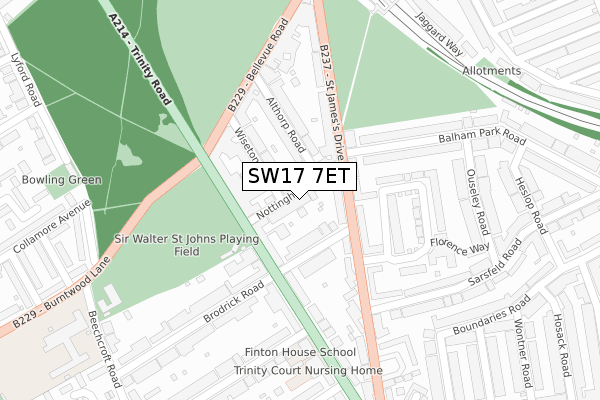
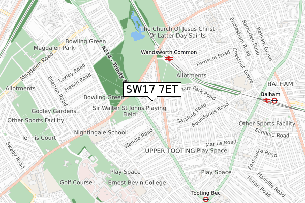
SW17 7ET is located in the South Balham electoral ward, within the London borough of Wandsworth and the English Parliamentary constituency of Tooting. The Sub Integrated Care Board (ICB) Location is NHS South West London ICB - 36L and the police force is Metropolitan Police. This postcode has been in use since February 2019.


GetTheData
Source: OS Open Zoomstack (Ordnance Survey)
Licence: Open Government Licence (requires attribution)
Attribution: Contains OS data © Crown copyright and database right 2025
Source: Open Postcode Geo
Licence: Open Government Licence (requires attribution)
Attribution: Contains OS data © Crown copyright and database right 2025; Contains Royal Mail data © Royal Mail copyright and database right 2025; Source: Office for National Statistics licensed under the Open Government Licence v.3.0
| Easting | 528300 |
| Northing | 172759 |
| Latitude | 51.439305 |
| Longitude | -0.155435 |
GetTheData
Source: Open Postcode Geo
Licence: Open Government Licence
| Country | England |
| Postcode District | SW17 |
➜ See where SW17 is on a map ➜ Where is London? | |
GetTheData
Source: Land Registry Price Paid Data
Licence: Open Government Licence
| Ward | South Balham |
| Constituency | Tooting |
GetTheData
Source: ONS Postcode Database
Licence: Open Government Licence
| Upper Tooting Park Balham High (Balham High Road) | Tooting Bec | 44m |
| Upper Tooting Park Balham High (Balham High Road) | Tooting Bec | 107m |
| Du Cane Court (Balham High Road) | Balham | 245m |
| Du Cane Court | Balham | 293m |
| Balham (Balham High Road) | Balham | 422m |
| Balham Underground Station | Balham | 475m |
| Tooting Bec Underground Station | Tooting Bec | 501m |
| Tooting Broadway Underground Station | Tooting Broadway | 1,579m |
| Clapham South Underground Station | Clapham South | 1,582m |
| Balham Station | 0.5km |
| Wandsworth Common Station | 0.9km |
| Streatham Hill Station | 2km |
GetTheData
Source: NaPTAN
Licence: Open Government Licence
GetTheData
Source: ONS Postcode Database
Licence: Open Government Licence


➜ Get more ratings from the Food Standards Agency
GetTheData
Source: Food Standards Agency
Licence: FSA terms & conditions
| Last Collection | |||
|---|---|---|---|
| Location | Mon-Fri | Sat | Distance |
| Post Office | 17:30 | 12:00 | 89m |
| 32 Ritherdon Road | 17:30 | 12:00 | 169m |
| Marius Road | 17:30 | 12:00 | 279m |
GetTheData
Source: Dracos
Licence: Creative Commons Attribution-ShareAlike
The below table lists the International Territorial Level (ITL) codes (formerly Nomenclature of Territorial Units for Statistics (NUTS) codes) and Local Administrative Units (LAU) codes for SW17 7ET:
| ITL 1 Code | Name |
|---|---|
| TLI | London |
| ITL 2 Code | Name |
| TLI3 | Inner London - West |
| ITL 3 Code | Name |
| TLI34 | Wandsworth |
| LAU 1 Code | Name |
| E09000032 | Wandsworth |
GetTheData
Source: ONS Postcode Directory
Licence: Open Government Licence
The below table lists the Census Output Area (OA), Lower Layer Super Output Area (LSOA), and Middle Layer Super Output Area (MSOA) for SW17 7ET:
| Code | Name | |
|---|---|---|
| OA | E00022541 | |
| LSOA | E01004485 | Wandsworth 030B |
| MSOA | E02000952 | Wandsworth 030 |
GetTheData
Source: ONS Postcode Directory
Licence: Open Government Licence
| SW17 7AN | Balham High Road | 73m |
| SW17 7BQ | Balham High Road | 93m |
| SW17 8EN | Foxbourne Road | 115m |
| SW17 8QD | Ritherdon Road | 120m |
| SW17 7AJ | Balham High Road | 123m |
| SW17 7QG | Marius Road | 131m |
| SW17 7AW | Balham High Road | 133m |
| SW17 7SA | Upper Tooting Park | 142m |
| SW17 7AD | Balham High Road | 142m |
| SW17 7SY | Upper Tooting Park | 146m |
GetTheData
Source: Open Postcode Geo; Land Registry Price Paid Data
Licence: Open Government Licence