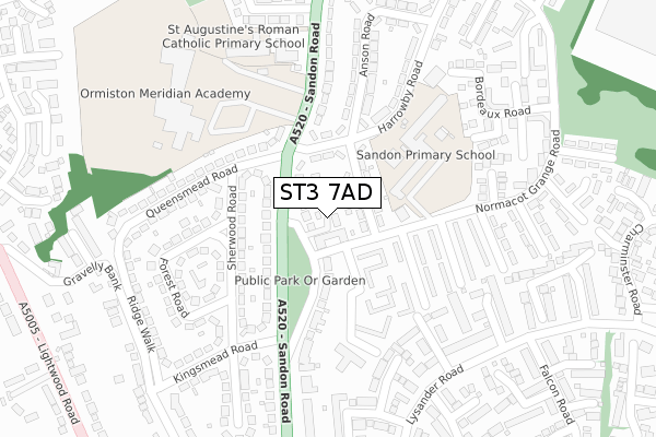
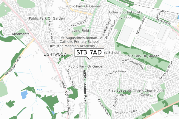
ST3 7AD is located in the Meir South electoral ward, within the unitary authority of Stoke-on-Trent and the English Parliamentary constituency of Stoke-on-Trent South. The Sub Integrated Care Board (ICB) Location is NHS Staffordshire and Stoke-on-Trent ICB - 05W and the police force is Staffordshire. This postcode has been in use since November 2019.


GetTheData
Source: OS Open Zoomstack (Ordnance Survey)
Licence: Open Government Licence (requires attribution)
Attribution: Contains OS data © Crown copyright and database right 2025
Source: Open Postcode Geo
Licence: Open Government Licence (requires attribution)
Attribution: Contains OS data © Crown copyright and database right 2025; Contains Royal Mail data © Royal Mail copyright and database right 2025; Source: Office for National Statistics licensed under the Open Government Licence v.3.0
| Easting | 392957 |
| Northing | 341384 |
| Latitude | 52.969783 |
| Longitude | -2.106317 |
GetTheData
Source: Open Postcode Geo
Licence: Open Government Licence
| Country | England |
| Postcode District | ST3 |
➜ See where ST3 is on a map ➜ Where is Stoke-on-Trent? | |
GetTheData
Source: Land Registry Price Paid Data
Licence: Open Government Licence
| Ward | Meir South |
| Constituency | Stoke-on-trent South |
GetTheData
Source: ONS Postcode Database
Licence: Open Government Licence
| Normacot Grange Road | Meir | 48m |
| Normacot Grange Road | Meir | 51m |
| Harrowby Road (Sandon Road) | Meir | 98m |
| Viscount Walk | Meir | 105m |
| Viscount Walk | Meir | 105m |
| Blythe Bridge Station | 2.6km |
| Longton Station | 3km |
| Wedgwood Station | 4.8km |
GetTheData
Source: NaPTAN
Licence: Open Government Licence
GetTheData
Source: ONS Postcode Database
Licence: Open Government Licence


➜ Get more ratings from the Food Standards Agency
GetTheData
Source: Food Standards Agency
Licence: FSA terms & conditions
| Last Collection | |||
|---|---|---|---|
| Location | Mon-Fri | Sat | Distance |
| Rough Close Post Office | 16:45 | 12:00 | 1,251m |
| Normacot Post Office | 17:00 | 12:00 | 1,721m |
| Lilleshall Street | 16:00 | 11:00 | 2,017m |
GetTheData
Source: Dracos
Licence: Creative Commons Attribution-ShareAlike
The below table lists the International Territorial Level (ITL) codes (formerly Nomenclature of Territorial Units for Statistics (NUTS) codes) and Local Administrative Units (LAU) codes for ST3 7AD:
| ITL 1 Code | Name |
|---|---|
| TLG | West Midlands (England) |
| ITL 2 Code | Name |
| TLG2 | Shropshire and Staffordshire |
| ITL 3 Code | Name |
| TLG23 | Stoke-on-Trent |
| LAU 1 Code | Name |
| E06000021 | Stoke-on-Trent |
GetTheData
Source: ONS Postcode Directory
Licence: Open Government Licence
The below table lists the Census Output Area (OA), Lower Layer Super Output Area (LSOA), and Middle Layer Super Output Area (MSOA) for ST3 7AD:
| Code | Name | |
|---|---|---|
| OA | E00072312 | |
| LSOA | E01014317 | Stoke-on-Trent 031D |
| MSOA | E02002981 | Stoke-on-Trent 031 |
GetTheData
Source: ONS Postcode Directory
Licence: Open Government Licence
| ST3 7AR | Loxley Place | 24m |
| ST3 7BP | Sandon Road | 64m |
| ST3 7AP | Stockfield Road | 72m |
| ST3 7AS | Harrowby Road | 99m |
| ST3 7BS | Sandon Road | 115m |
| ST3 7BW | Sandon Old Road | 133m |
| ST3 7RL | Dentdale Close | 142m |
| ST3 7BX | Sherwood Road | 154m |
| ST3 7RN | Kingsdale Close | 204m |
| ST3 7BT | Kingsmead Road | 210m |
GetTheData
Source: Open Postcode Geo; Land Registry Price Paid Data
Licence: Open Government Licence