Property/Postcode Data Search:
ST14 5NB maps, stats, and open data
ST14 5NB is located in the Stramshall & Weaver electoral ward, within the local authority district of East Staffordshire and the English Parliamentary constituency of Burton. The Sub Integrated Care Board (ICB) Location is NHS Staffordshire and Stoke-on-Trent ICB - 05D and the police force is Staffordshire. This postcode has been in use since May 2018.
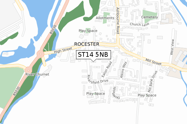
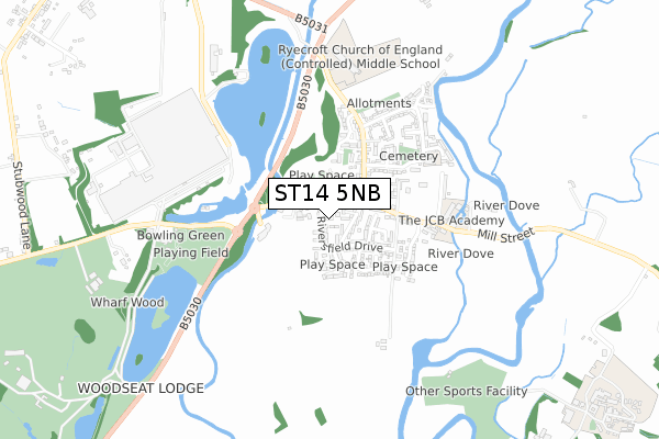
ST14 5NB maps


Source: OS Open Zoomstack (Ordnance Survey)
Licence: Open Government Licence (requires attribution)
Attribution: Contains OS data © Crown copyright and database right 2025
Source: Open Postcode Geo
Licence: Open Government Licence (requires attribution)
Attribution: Contains OS data © Crown copyright and database right 2025; Contains Royal Mail data © Royal Mail copyright and database right 2025; Source: Office for National Statistics licensed under the Open Government Licence v.3.0
Licence: Open Government Licence (requires attribution)
Attribution: Contains OS data © Crown copyright and database right 2025
Source: Open Postcode Geo
Licence: Open Government Licence (requires attribution)
Attribution: Contains OS data © Crown copyright and database right 2025; Contains Royal Mail data © Royal Mail copyright and database right 2025; Source: Office for National Statistics licensed under the Open Government Licence v.3.0
ST14 5NB geodata
| Easting | 410813 |
| Northing | 339239 |
| Latitude | 52.950443 |
| Longitude | -1.840510 |
Where is ST14 5NB?
| Country | England |
| Postcode District | ST14 |
Politics
| Ward | Stramshall & Weaver |
|---|---|
| Constituency | Burton |
Transport
Nearest bus stops to ST14 5NB
| Riversfield Drive (High Street) | Rocester | 95m |
| Riversfield Drive (High Street) | Rocester | 103m |
| Churnet Bridge (High Street) | Rocester | 152m |
| Churnet Bridge (High Street) | Rocester | 162m |
| Ashbourne Road Garage (Ashbourne Road) | Rocester | 203m |
Broadband
Broadband speed in ST14 5NB (2019 data)
Download
| Median download speed | 40.0Mbps |
| Average download speed | 40.0Mbps |
| Maximum download speed | 78.13Mbps |
Upload
| Median upload speed | 10.0Mbps |
| Average upload speed | 8.3Mbps |
| Maximum upload speed | 19.53Mbps |
Deprivation
50% of English postcodes are less deprived than ST14 5NB:Food Standards Agency
Three nearest food hygiene ratings to ST14 5NB (metres)
Rocester Spar

60 High Street
99m
PANACEA PREMIER INDIAN

37 High Street
137m
ROCESTER FISH BAR

84 High Street
142m
➜ Get more ratings from the Food Standards Agency
Nearest post box to ST14 5NB
| Last Collection | |||
|---|---|---|---|
| Location | Mon-Fri | Sat | Distance |
| Waldley Lane | 16:30 | 11:15 | 2,697m |
| Marston Montgomery P O | 16:00 | 10:15 | 2,963m |
| Roston | 16:45 | 09:45 | 3,052m |
ST14 5NB ITL and ST14 5NB LAU
The below table lists the International Territorial Level (ITL) codes (formerly Nomenclature of Territorial Units for Statistics (NUTS) codes) and Local Administrative Units (LAU) codes for ST14 5NB:
| ITL 1 Code | Name |
|---|---|
| TLG | West Midlands (England) |
| ITL 2 Code | Name |
| TLG2 | Shropshire and Staffordshire |
| ITL 3 Code | Name |
| TLG24 | Staffordshire CC |
| LAU 1 Code | Name |
| E07000193 | East Staffordshire |
ST14 5NB census areas
The below table lists the Census Output Area (OA), Lower Layer Super Output Area (LSOA), and Middle Layer Super Output Area (MSOA) for ST14 5NB:
| Code | Name | |
|---|---|---|
| OA | E00149916 | |
| LSOA | E01029423 | East Staffordshire 001D |
| MSOA | E02006131 | East Staffordshire 001 |
Nearest postcodes to ST14 5NB
| ST14 5LH | Riversfield Drive | 87m |
| ST14 5JU | High Street | 91m |
| ST14 5LL | Eaton Road | 98m |
| ST14 5LW | Atkins Way | 145m |
| ST14 5JT | Churnet Row | 177m |
| ST14 5LY | Woodland Drive | 181m |
| ST14 5LN | Riversfield Drive | 188m |
| ST14 5JX | Mill Street | 209m |
| ST14 5PG | Westgate Close | 216m |
| ST14 5LT | Dovefields | 228m |