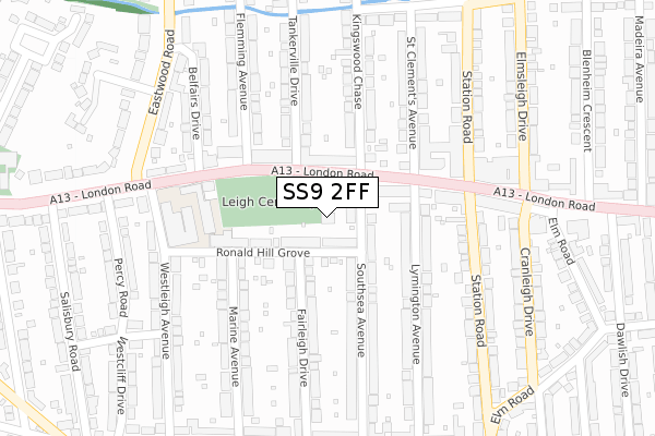
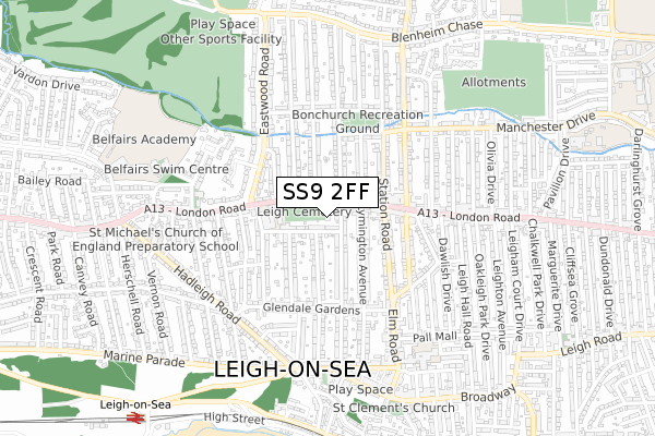
SS9 2FF is located in the Leigh electoral ward, within the unitary authority of Southend-on-Sea and the English Parliamentary constituency of Southend West. The Sub Integrated Care Board (ICB) Location is NHS Mid and South Essex ICB - 99G and the police force is Essex. This postcode has been in use since January 2019.


GetTheData
Source: OS Open Zoomstack (Ordnance Survey)
Licence: Open Government Licence (requires attribution)
Attribution: Contains OS data © Crown copyright and database right 2025
Source: Open Postcode Geo
Licence: Open Government Licence (requires attribution)
Attribution: Contains OS data © Crown copyright and database right 2025; Contains Royal Mail data © Royal Mail copyright and database right 2025; Source: Office for National Statistics licensed under the Open Government Licence v.3.0
| Easting | 583901 |
| Northing | 186549 |
| Latitude | 51.547865 |
| Longitude | 0.650933 |
GetTheData
Source: Open Postcode Geo
Licence: Open Government Licence
| Country | England |
| Postcode District | SS9 |
➜ See where SS9 is on a map ➜ Where is Southend-on-Sea? | |
GetTheData
Source: Land Registry Price Paid Data
Licence: Open Government Licence
| Ward | Leigh |
| Constituency | Southend West |
GetTheData
Source: ONS Postcode Database
Licence: Open Government Licence
| Kingswood Chase (London Road) | Leigh-on-sea | 79m |
| Kingswood Chase (London Road) | Leigh-on-sea | 88m |
| Leigh Elms (Station Road) | Leigh-on-sea | 227m |
| West Leigh Schools (London Road) | Leigh-on-sea | 236m |
| West Leigh Schools (London Road) | Leigh-on-sea | 238m |
| Leigh-on-Sea Station | 1km |
| Chalkwell Station | 1.7km |
| Westcliff-on-Sea Station | 3km |
GetTheData
Source: NaPTAN
Licence: Open Government Licence
| Percentage of properties with Next Generation Access | 100.0% |
| Percentage of properties with Superfast Broadband | 100.0% |
| Percentage of properties with Ultrafast Broadband | 0.0% |
| Percentage of properties with Full Fibre Broadband | 0.0% |
Superfast Broadband is between 30Mbps and 300Mbps
Ultrafast Broadband is > 300Mbps
| Percentage of properties unable to receive 2Mbps | 0.0% |
| Percentage of properties unable to receive 5Mbps | 0.0% |
| Percentage of properties unable to receive 10Mbps | 0.0% |
| Percentage of properties unable to receive 30Mbps | 0.0% |
GetTheData
Source: Ofcom
Licence: Ofcom Terms of Use (requires attribution)
GetTheData
Source: ONS Postcode Database
Licence: Open Government Licence


➜ Get more ratings from the Food Standards Agency
GetTheData
Source: Food Standards Agency
Licence: FSA terms & conditions
| Last Collection | |||
|---|---|---|---|
| Location | Mon-Fri | Sat | Distance |
| West Leigh Post Office | 17:30 | 11:30 | 66m |
| Leigh On Sea Delivery Office | 17:30 | 11:30 | 192m |
| London Road | 17:30 | 11:30 | 424m |
GetTheData
Source: Dracos
Licence: Creative Commons Attribution-ShareAlike
The below table lists the International Territorial Level (ITL) codes (formerly Nomenclature of Territorial Units for Statistics (NUTS) codes) and Local Administrative Units (LAU) codes for SS9 2FF:
| ITL 1 Code | Name |
|---|---|
| TLH | East |
| ITL 2 Code | Name |
| TLH3 | Essex |
| ITL 3 Code | Name |
| TLH31 | Southend-on-Sea |
| LAU 1 Code | Name |
| E06000033 | Southend-on-Sea |
GetTheData
Source: ONS Postcode Directory
Licence: Open Government Licence
The below table lists the Census Output Area (OA), Lower Layer Super Output Area (LSOA), and Middle Layer Super Output Area (MSOA) for SS9 2FF:
| Code | Name | |
|---|---|---|
| OA | E00080099 | |
| LSOA | E01015845 | Southend-on-Sea 011A |
| MSOA | E02003289 | Southend-on-Sea 011 |
GetTheData
Source: ONS Postcode Directory
Licence: Open Government Licence
| SS9 2AH | London Road | 44m |
| SS9 2JB | Ronald Hill Grove | 65m |
| SS9 2AD | London Road | 91m |
| SS9 2AJ | London Road | 127m |
| SS9 2AB | London Road | 133m |
| SS9 2BH | Southsea Avenue | 162m |
| SS9 2BJ | Southsea Avenue | 176m |
| SS9 2JA | Fairleigh Drive | 182m |
| SS9 2HZ | Fairleigh Drive | 183m |
| SS9 2AL | Lymington Avenue | 208m |
GetTheData
Source: Open Postcode Geo; Land Registry Price Paid Data
Licence: Open Government Licence