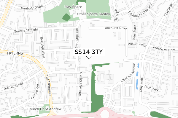
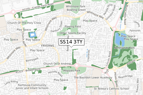
SS14 3TY is located in the Fryerns electoral ward, within the local authority district of Basildon and the English Parliamentary constituency of Basildon and Billericay. The Sub Integrated Care Board (ICB) Location is NHS Mid and South Essex ICB - 99E and the police force is Essex. This postcode has been in use since April 2020.


GetTheData
Source: OS Open Zoomstack (Ordnance Survey)
Licence: Open Government Licence (requires attribution)
Attribution: Contains OS data © Crown copyright and database right 2025
Source: Open Postcode Geo
Licence: Open Government Licence (requires attribution)
Attribution: Contains OS data © Crown copyright and database right 2025; Contains Royal Mail data © Royal Mail copyright and database right 2025; Source: Office for National Statistics licensed under the Open Government Licence v.3.0
| Easting | 572259 |
| Northing | 189391 |
| Latitude | 51.577064 |
| Longitude | 0.484595 |
GetTheData
Source: Open Postcode Geo
Licence: Open Government Licence
| Country | England |
| Postcode District | SS14 |
➜ See where SS14 is on a map ➜ Where is Basildon? | |
GetTheData
Source: Land Registry Price Paid Data
Licence: Open Government Licence
| Ward | Fryerns |
| Constituency | Basildon And Billericay |
GetTheData
Source: ONS Postcode Database
Licence: Open Government Licence
34, WOLFE DRIVE, BASILDON, SS14 3TY 2024 4 APR £407,400 |
28, WOLFE DRIVE, BASILDON, SS14 3TY 2024 28 MAR £432,000 |
42, WOLFE DRIVE, BASILDON, SS14 3TY 2023 30 MAR £425,000 |
59, WOLFE DRIVE, BASILDON, SS14 3TY 2023 30 MAR £395,000 |
2, WOLFE DRIVE, BASILDON, SS14 3TY 2021 6 JAN £390,000 |
GetTheData
Source: HM Land Registry Price Paid Data
Licence: Contains HM Land Registry data © Crown copyright and database right 2025. This data is licensed under the Open Government Licence v3.0.
| Beeleigh East | Basildon | 102m |
| Beeleigh East | Basildon | 108m |
| Nightingale Grove (Churchill Avenue) | Basildon | 132m |
| Nightingale Grove (Churchill Avenue) | Basildon | 157m |
| Pattiswick Square | Basildon | 214m |
| Basildon Station | 2.2km |
| Pitsea Station | 2.4km |
| Laindon Station | 4.3km |
GetTheData
Source: NaPTAN
Licence: Open Government Licence
GetTheData
Source: ONS Postcode Database
Licence: Open Government Licence


➜ Get more ratings from the Food Standards Agency
GetTheData
Source: Food Standards Agency
Licence: FSA terms & conditions
| Last Collection | |||
|---|---|---|---|
| Location | Mon-Fri | Sat | Distance |
| Chichester Close | 17:30 | 12:15 | 547m |
| Harvey Road | 18:30 | 11:30 | 1,065m |
| Mill Green | 17:45 | 12:15 | 1,261m |
GetTheData
Source: Dracos
Licence: Creative Commons Attribution-ShareAlike
The below table lists the International Territorial Level (ITL) codes (formerly Nomenclature of Territorial Units for Statistics (NUTS) codes) and Local Administrative Units (LAU) codes for SS14 3TY:
| ITL 1 Code | Name |
|---|---|
| TLH | East |
| ITL 2 Code | Name |
| TLH3 | Essex |
| ITL 3 Code | Name |
| TLH37 | Essex Thames Gateway |
| LAU 1 Code | Name |
| E07000066 | Basildon |
GetTheData
Source: ONS Postcode Directory
Licence: Open Government Licence
The below table lists the Census Output Area (OA), Lower Layer Super Output Area (LSOA), and Middle Layer Super Output Area (MSOA) for SS14 3TY:
| Code | Name | |
|---|---|---|
| OA | E00108031 | |
| LSOA | E01021270 | Basildon 012D |
| MSOA | E02004435 | Basildon 012 |
GetTheData
Source: ONS Postcode Directory
Licence: Open Government Licence
| SS14 2RP | Beeleigh East | 55m |
| SS14 2RQ | Pattiswick Square | 56m |
| SS14 2RH | Pattiswick Square | 131m |
| SS14 2RR | Beeleigh East | 146m |
| SS14 2RG | Pattiswick Square | 154m |
| SS14 2RN | Beeleigh Cross | 164m |
| SS14 2RW | Rundells Walk | 176m |
| SS14 2RF | Goldhanger Cross | 180m |
| SS14 2SL | Writtle Walk | 193m |
| SS14 2SJ | Quilters Straight | 204m |
GetTheData
Source: Open Postcode Geo; Land Registry Price Paid Data
Licence: Open Government Licence