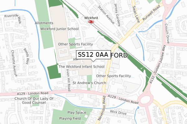
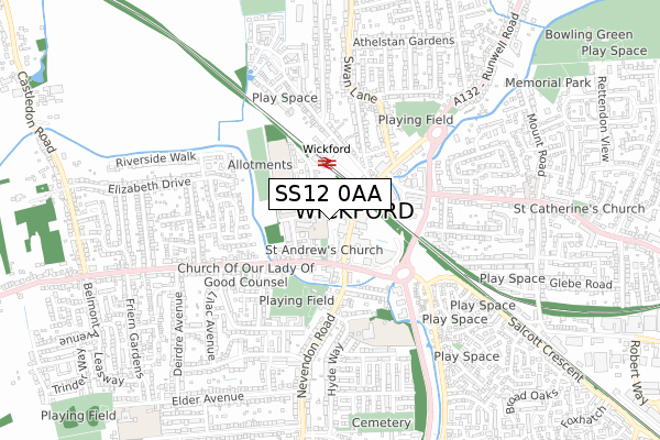
SS12 0AA is located in the Wickford Castledon electoral ward, within the local authority district of Basildon and the English Parliamentary constituency of Rayleigh and Wickford. The Sub Integrated Care Board (ICB) Location is NHS Mid and South Essex ICB - 99E and the police force is Essex. This postcode has been in use since August 2017.


GetTheData
Source: OS Open Zoomstack (Ordnance Survey)
Licence: Open Government Licence (requires attribution)
Attribution: Contains OS data © Crown copyright and database right 2025
Source: Open Postcode Geo
Licence: Open Government Licence (requires attribution)
Attribution: Contains OS data © Crown copyright and database right 2025; Contains Royal Mail data © Royal Mail copyright and database right 2025; Source: Office for National Statistics licensed under the Open Government Licence v.3.0
| Easting | 574535 |
| Northing | 193459 |
| Latitude | 51.612907 |
| Longitude | 0.519428 |
GetTheData
Source: Open Postcode Geo
Licence: Open Government Licence
| Country | England |
| Postcode District | SS12 |
➜ See where SS12 is on a map ➜ Where is Wickford? | |
GetTheData
Source: Land Registry Price Paid Data
Licence: Open Government Licence
| Ward | Wickford Castledon |
| Constituency | Rayleigh And Wickford |
GetTheData
Source: ONS Postcode Database
Licence: Open Government Licence
| Halls Corner (London Road) | Wickford | 160m |
| Halls Corner (London Road) | Wickford | 173m |
| Jersey Gardens (Station Avenue) | Wickford | 224m |
| Halls Corner (Nevendon Road) | Wickford | 241m |
| Jersey Gardens (Station Avenue) | Wickford | 242m |
| Wickford Station | 0.2km |
| Battlesbridge Station | 3.4km |
GetTheData
Source: NaPTAN
Licence: Open Government Licence
GetTheData
Source: ONS Postcode Database
Licence: Open Government Licence


➜ Get more ratings from the Food Standards Agency
GetTheData
Source: Food Standards Agency
Licence: FSA terms & conditions
| Last Collection | |||
|---|---|---|---|
| Location | Mon-Fri | Sat | Distance |
| Halls Corner | 17:30 | 11:30 | 152m |
| Station Approach | 17:30 | 12:00 | 222m |
| St Peters | 17:30 | 11:30 | 577m |
GetTheData
Source: Dracos
Licence: Creative Commons Attribution-ShareAlike
The below table lists the International Territorial Level (ITL) codes (formerly Nomenclature of Territorial Units for Statistics (NUTS) codes) and Local Administrative Units (LAU) codes for SS12 0AA:
| ITL 1 Code | Name |
|---|---|
| TLH | East |
| ITL 2 Code | Name |
| TLH3 | Essex |
| ITL 3 Code | Name |
| TLH37 | Essex Thames Gateway |
| LAU 1 Code | Name |
| E07000066 | Basildon |
GetTheData
Source: ONS Postcode Directory
Licence: Open Government Licence
The below table lists the Census Output Area (OA), Lower Layer Super Output Area (LSOA), and Middle Layer Super Output Area (MSOA) for SS12 0AA:
| Code | Name | |
|---|---|---|
| OA | E00108342 | |
| LSOA | E01021329 | Basildon 006B |
| MSOA | E02004429 | Basildon 006 |
GetTheData
Source: ONS Postcode Directory
Licence: Open Government Licence
| SS12 0RA | Willowdale Centre | 84m |
| SS12 0AL | Woodlands Road | 116m |
| SS12 0HW | Market Avenue | 116m |
| SS12 9AQ | High Street | 116m |
| SS12 0AE | Market Avenue | 119m |
| SS12 0RD | High Street | 123m |
| SS12 0AQ | Irvon Hill Road | 145m |
| SS12 9AT | High Street | 156m |
| SS12 0AD | Market Avenue | 166m |
| SS12 0FF | Market Avenue | 174m |
GetTheData
Source: Open Postcode Geo; Land Registry Price Paid Data
Licence: Open Government Licence