SP6 3FD maps, stats, and open data
SP6 3FD is located in the Cranborne & Alderholt electoral ward, within the unitary authority of Dorset and the English Parliamentary constituency of North Dorset. The Sub Integrated Care Board (ICB) Location is NHS Dorset ICB - 11J and the police force is Dorset. This postcode has been in use since August 2017.
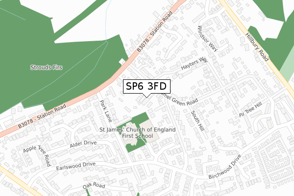
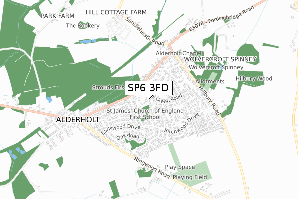
SP6 3FD maps


Licence: Open Government Licence (requires attribution)
Attribution: Contains OS data © Crown copyright and database right 2025
Source: Open Postcode Geo
Licence: Open Government Licence (requires attribution)
Attribution: Contains OS data © Crown copyright and database right 2025; Contains Royal Mail data © Royal Mail copyright and database right 2025; Source: Office for National Statistics licensed under the Open Government Licence v.3.0
SP6 3FD geodata
| Easting | 412098 |
| Northing | 112636 |
| Latitude | 50.913057 |
| Longitude | -1.829279 |
Where is SP6 3FD?
| Country | England |
| Postcode District | SP6 |
Politics
| Ward | Cranborne & Alderholt |
|---|---|
| Constituency | North Dorset |
House Prices
Sales of detached houses in SP6 3FD
2022 1 SEP £625,000 |
3, FERNLEA GARDENS, ALDERHOLT, FORDINGBRIDGE, SP6 3FD 2018 14 FEB £475,000 |
2018 7 FEB £470,000 |
1, FERNLEA GARDENS, ALDERHOLT, FORDINGBRIDGE, SP6 3FD 2017 1 DEC £475,000 |
2, FERNLEA GARDENS, ALDERHOLT, FORDINGBRIDGE, SP6 3FD 2017 18 AUG £460,000 |
Licence: Contains HM Land Registry data © Crown copyright and database right 2025. This data is licensed under the Open Government Licence v3.0.
Transport
Nearest bus stops to SP6 3FD
| The Reading Rooms (Station Road) | Alderholt | 132m |
| The Reading Rooms (Station Road) | Alderholt | 144m |
| Park Lane Junction (Park Lane) | Alderholt | 157m |
| Park Lane Junction (Park Lane) | Alderholt | 166m |
| Park Lane (Birchwood Drive) | Alderholt | 219m |
Broadband
Broadband access in SP6 3FD (2020 data)
| Percentage of properties with Next Generation Access | 100.0% |
| Percentage of properties with Superfast Broadband | 100.0% |
| Percentage of properties with Ultrafast Broadband | 0.0% |
| Percentage of properties with Full Fibre Broadband | 0.0% |
Superfast Broadband is between 30Mbps and 300Mbps
Ultrafast Broadband is > 300Mbps
Broadband limitations in SP6 3FD (2020 data)
| Percentage of properties unable to receive 2Mbps | 0.0% |
| Percentage of properties unable to receive 5Mbps | 0.0% |
| Percentage of properties unable to receive 10Mbps | 0.0% |
| Percentage of properties unable to receive 30Mbps | 0.0% |
Deprivation
1.9% of English postcodes are less deprived than SP6 3FD:Food Standards Agency
Three nearest food hygiene ratings to SP6 3FD (metres)


➜ Get more ratings from the Food Standards Agency
Nearest post box to SP6 3FD
| Last Collection | |||
|---|---|---|---|
| Location | Mon-Fri | Sat | Distance |
| Station Road | 16:30 | 09:15 | 149m |
| Earlswood Drive | 16:30 | 10:00 | 357m |
| Birchwood Drive | 16:30 | 08:45 | 357m |
SP6 3FD ITL and SP6 3FD LAU
The below table lists the International Territorial Level (ITL) codes (formerly Nomenclature of Territorial Units for Statistics (NUTS) codes) and Local Administrative Units (LAU) codes for SP6 3FD:
| ITL 1 Code | Name |
|---|---|
| TLK | South West (England) |
| ITL 2 Code | Name |
| TLK2 | Dorset and Somerset |
| ITL 3 Code | Name |
| TLK25 | Dorset |
| LAU 1 Code | Name |
| E06000059 | Dorset |
SP6 3FD census areas
The below table lists the Census Output Area (OA), Lower Layer Super Output Area (LSOA), and Middle Layer Super Output Area (MSOA) for SP6 3FD:
| Code | Name | |
|---|---|---|
| OA | E00103236 | |
| LSOA | E01020374 | East Dorset 001B |
| MSOA | E02004243 | East Dorset 001 |
Nearest postcodes to SP6 3FD
| SP6 3AN | Camel Green Road | 63m |
| SP6 3AW | Antells Way | 105m |
| SP6 3BF | Coppers Close | 128m |
| SP6 3AR | Camel Green Road | 137m |
| SP6 3RA | Bramble Close | 163m |
| SP6 3AJ | Park Lane | 168m |
| SP6 3JA | Down Lodge Close | 171m |
| SP6 3RD | Station Road | 193m |
| SP6 3AX | Hayters Way | 205m |
| SP6 3AS | South Hill | 217m |