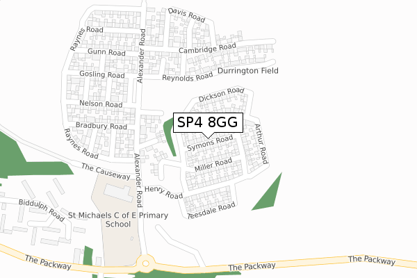
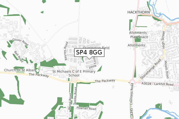
SP4 8GG is located in the Avon Valley electoral ward, within the unitary authority of Wiltshire and the English Parliamentary constituency of Devizes. The Sub Integrated Care Board (ICB) Location is NHS Bath and North East Somerset, Swindon and Wiltshire ICB - 92 and the police force is Wiltshire. This postcode has been in use since April 2020.


GetTheData
Source: OS Open Zoomstack (Ordnance Survey)
Licence: Open Government Licence (requires attribution)
Attribution: Contains OS data © Crown copyright and database right 2025
Source: Open Postcode Geo
Licence: Open Government Licence (requires attribution)
Attribution: Contains OS data © Crown copyright and database right 2025; Contains Royal Mail data © Royal Mail copyright and database right 2025; Source: Office for National Statistics licensed under the Open Government Licence v.3.0
| Easting | 414575 |
| Northing | 144377 |
| Latitude | 51.198422 |
| Longitude | -1.792774 |
GetTheData
Source: Open Postcode Geo
Licence: Open Government Licence
| Country | England |
| Postcode District | SP4 |
➜ See where SP4 is on a map ➜ Where is Larkhill? | |
GetTheData
Source: Land Registry Price Paid Data
Licence: Open Government Licence
| Ward | Avon Valley |
| Constituency | Devizes |
GetTheData
Source: ONS Postcode Database
Licence: Open Government Licence
| Packway Garage (The Packway) | Larkhill | 408m |
| Packway Garage (The Packway) | Larkhill | 429m |
| Royal School Of Artillery (The Packway) | Larkhill | 583m |
| The Roundabout (The Packway) | Durrington | 587m |
| The Roundabout (The Packway) | Durrington | 594m |
GetTheData
Source: NaPTAN
Licence: Open Government Licence
GetTheData
Source: ONS Postcode Database
Licence: Open Government Licence


➜ Get more ratings from the Food Standards Agency
GetTheData
Source: Food Standards Agency
Licence: FSA terms & conditions
| Last Collection | |||
|---|---|---|---|
| Location | Mon-Fri | Sat | Distance |
| The Packway | 16:30 | 09:00 | 420m |
| Netheravon Road | 16:15 | 09:00 | 668m |
| Marina Road | 16:45 | 08:00 | 819m |
GetTheData
Source: Dracos
Licence: Creative Commons Attribution-ShareAlike
The below table lists the International Territorial Level (ITL) codes (formerly Nomenclature of Territorial Units for Statistics (NUTS) codes) and Local Administrative Units (LAU) codes for SP4 8GG:
| ITL 1 Code | Name |
|---|---|
| TLK | South West (England) |
| ITL 2 Code | Name |
| TLK1 | Gloucestershire, Wiltshire and Bath/Bristol area |
| ITL 3 Code | Name |
| TLK15 | Wiltshire |
| LAU 1 Code | Name |
| E06000054 | Wiltshire |
GetTheData
Source: ONS Postcode Directory
Licence: Open Government Licence
The below table lists the Census Output Area (OA), Lower Layer Super Output Area (LSOA), and Middle Layer Super Output Area (MSOA) for SP4 8GG:
| Code | Name | |
|---|---|---|
| OA | E00163189 | |
| LSOA | E01031999 | Wiltshire 046D |
| MSOA | E02006662 | Wiltshire 046 |
GetTheData
Source: ONS Postcode Directory
Licence: Open Government Licence
| SP4 8QP | The Packway | 400m |
| SP4 8AX | Netheravon Road | 653m |
| SP4 8AU | Netheravon Road | 760m |
| SP4 8BY | Westfield Close | 760m |
| SP4 8EH | Willow Drive | 777m |
| SP4 8BN | Stonehenge Road | 782m |
| SP4 8BX | Downland Way | 795m |
| SP4 8BW | Stonehenge Road | 803m |
| SP4 8RJ | Maple Way | 807m |
| SP4 8FE | Primrose Place | 837m |
GetTheData
Source: Open Postcode Geo; Land Registry Price Paid Data
Licence: Open Government Licence