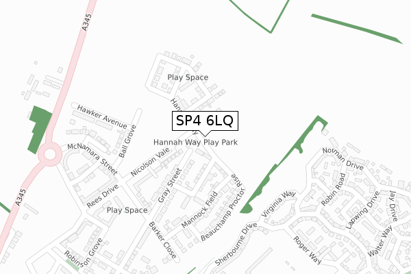
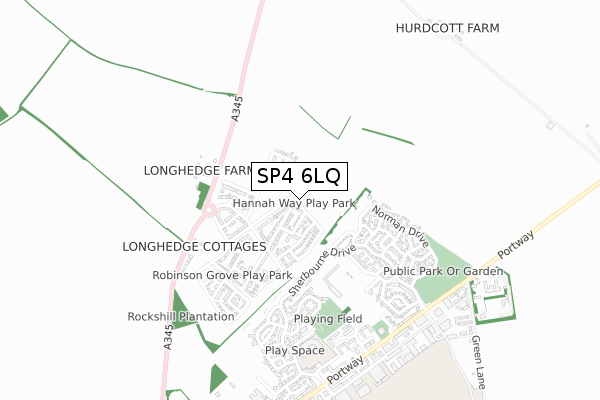
SP4 6LQ is located in the Old Sarum & Lower Bourne Valley electoral ward, within the unitary authority of Wiltshire and the English Parliamentary constituency of Salisbury. The Sub Integrated Care Board (ICB) Location is NHS Bath and North East Somerset, Swindon and Wiltshire ICB - 92 and the police force is Wiltshire. This postcode has been in use since May 2018.


GetTheData
Source: OS Open Zoomstack (Ordnance Survey)
Licence: Open Government Licence (requires attribution)
Attribution: Contains OS data © Crown copyright and database right 2025
Source: Open Postcode Geo
Licence: Open Government Licence (requires attribution)
Attribution: Contains OS data © Crown copyright and database right 2025; Contains Royal Mail data © Royal Mail copyright and database right 2025; Source: Office for National Statistics licensed under the Open Government Licence v.3.0
| Easting | 414959 |
| Northing | 134288 |
| Latitude | 51.107691 |
| Longitude | -1.787695 |
GetTheData
Source: Open Postcode Geo
Licence: Open Government Licence
| Country | England |
| Postcode District | SP4 |
➜ See where SP4 is on a map ➜ Where is Old Sarum? | |
GetTheData
Source: Land Registry Price Paid Data
Licence: Open Government Licence
| Ward | Old Sarum & Lower Bourne Valley |
| Constituency | Salisbury |
GetTheData
Source: ONS Postcode Database
Licence: Open Government Licence
| Robin Road (Sherbourne Drive) | Old Sarum | 313m |
| Salisbury Fc | Old Sarum | 412m |
| Longhedge (A345 Amesbury Road) | Winterbourne | 480m |
| Castle Well Drive | Salisbury | 484m |
| Longhedge (A345 Amesbury Road) | Winterbourne | 489m |
| Salisbury Station | 4.3km |
GetTheData
Source: NaPTAN
Licence: Open Government Licence
GetTheData
Source: ONS Postcode Database
Licence: Open Government Licence


➜ Get more ratings from the Food Standards Agency
GetTheData
Source: Food Standards Agency
Licence: FSA terms & conditions
| Last Collection | |||
|---|---|---|---|
| Location | Mon-Fri | Sat | Distance |
| Old Sarum | 17:30 | 07:00 | 727m |
| Ford | 16:00 | 10:00 | 1,956m |
| Old Castle Road | 16:15 | 12:00 | 1,965m |
GetTheData
Source: Dracos
Licence: Creative Commons Attribution-ShareAlike
The below table lists the International Territorial Level (ITL) codes (formerly Nomenclature of Territorial Units for Statistics (NUTS) codes) and Local Administrative Units (LAU) codes for SP4 6LQ:
| ITL 1 Code | Name |
|---|---|
| TLK | South West (England) |
| ITL 2 Code | Name |
| TLK1 | Gloucestershire, Wiltshire and Bath/Bristol area |
| ITL 3 Code | Name |
| TLK15 | Wiltshire |
| LAU 1 Code | Name |
| E06000054 | Wiltshire |
GetTheData
Source: ONS Postcode Directory
Licence: Open Government Licence
The below table lists the Census Output Area (OA), Lower Layer Super Output Area (LSOA), and Middle Layer Super Output Area (MSOA) for SP4 6LQ:
| Code | Name | |
|---|---|---|
| OA | E00166384 | |
| LSOA | E01032011 | Wiltshire 057B |
| MSOA | E02006672 | Wiltshire 057 |
GetTheData
Source: ONS Postcode Directory
Licence: Open Government Licence
| SP4 6GY | Virginia Way | 239m |
| SP4 6GJ | Robin Road | 310m |
| SP4 6GN | Kestrel Drive | 356m |
| SP4 6GL | Lark Lane | 364m |
| SP4 6GA | Sherbourne Drive | 378m |
| SP4 6FP | Norman Drive | 378m |
| SP4 6FF | Sherbourne Drive | 385m |
| SP4 6GS | Roger Way | 405m |
| SP4 6GP | Lapwing Drive | 419m |
| SP4 6BW | Amesbury Road | 435m |
GetTheData
Source: Open Postcode Geo; Land Registry Price Paid Data
Licence: Open Government Licence