SP3 6FE maps, stats, and open data
SP3 6FE is located in the Nadder Valley electoral ward, within the unitary authority of Wiltshire and the English Parliamentary constituency of South West Wiltshire. The Sub Integrated Care Board (ICB) Location is NHS Bath and North East Somerset, Swindon and Wiltshire ICB - 92 and the police force is Wiltshire. This postcode has been in use since February 2020.
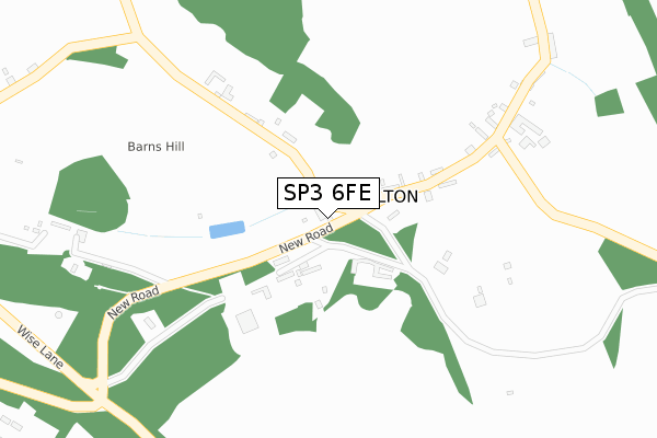
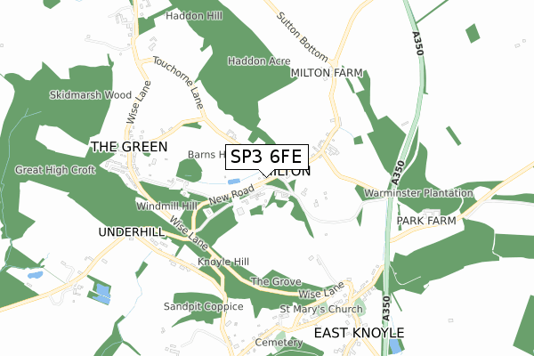
SP3 6FE maps


Licence: Open Government Licence (requires attribution)
Attribution: Contains OS data © Crown copyright and database right 2025
Source: Open Postcode Geo
Licence: Open Government Licence (requires attribution)
Attribution: Contains OS data © Crown copyright and database right 2025; Contains Royal Mail data © Royal Mail copyright and database right 2025; Source: Office for National Statistics licensed under the Open Government Licence v.3.0
SP3 6FE geodata
| Easting | 387759 |
| Northing | 131160 |
| Latitude | 51.079622 |
| Longitude | -2.176114 |
Where is SP3 6FE?
| Country | England |
| Postcode District | SP3 |
Politics
| Ward | Nadder Valley |
|---|---|
| Constituency | South West Wiltshire |
Transport
Nearest bus stops to SP3 6FE
| Telephone Box | East Knoyle | 93m |
| Telephone Box | East Knoyle | 96m |
| Underhill House (Main Street) | Underhill | 586m |
| Underhill House (Main Street) | Underhill | 587m |
| The Green (Wise Lane) | East Knoyle | 659m |
Deprivation
53.9% of English postcodes are less deprived than SP3 6FE:Food Standards Agency
Three nearest food hygiene ratings to SP3 6FE (metres)


➜ Get more ratings from the Food Standards Agency
Nearest post box to SP3 6FE
| Last Collection | |||
|---|---|---|---|
| Location | Mon-Fri | Sat | Distance |
| Knoyle Down Farm | 16:30 | 09:45 | 3,815m |
| Wardour | 16:00 | 09:00 | 6,356m |
SP3 6FE ITL and SP3 6FE LAU
The below table lists the International Territorial Level (ITL) codes (formerly Nomenclature of Territorial Units for Statistics (NUTS) codes) and Local Administrative Units (LAU) codes for SP3 6FE:
| ITL 1 Code | Name |
|---|---|
| TLK | South West (England) |
| ITL 2 Code | Name |
| TLK1 | Gloucestershire, Wiltshire and Bath/Bristol area |
| ITL 3 Code | Name |
| TLK15 | Wiltshire |
| LAU 1 Code | Name |
| E06000054 | Wiltshire |
SP3 6FE census areas
The below table lists the Census Output Area (OA), Lower Layer Super Output Area (LSOA), and Middle Layer Super Output Area (MSOA) for SP3 6FE:
| Code | Name | |
|---|---|---|
| OA | E00163255 | |
| LSOA | E01032010 | Wiltshire 050A |
| MSOA | E02006665 | Wiltshire 050 |
Nearest postcodes to SP3 6FE
| SP3 6BE | 79m | |
| SP3 6BH | Haddons Houses | 136m |
| SP3 6BJ | Milton | 181m |
| SP3 6BG | Milton | 316m |
| SP3 6BL | 383m | |
| SP3 6BS | Underhill | 574m |
| SP3 6AB | Wise Lane | 598m |
| SP3 6AD | Church Rails | 607m |
| SP3 6BN | The Green | 628m |
| SP3 6AE | Church Road | 673m |