SP11 9LT maps, stats, and open data
SP11 9LT is located in the Tidworth East & Ludgershall South electoral ward, within the unitary authority of Wiltshire and the English Parliamentary constituency of Devizes. The Sub Integrated Care Board (ICB) Location is NHS Bath and North East Somerset, Swindon and Wiltshire ICB - 92 and the police force is Wiltshire. This postcode has been in use since April 2020.
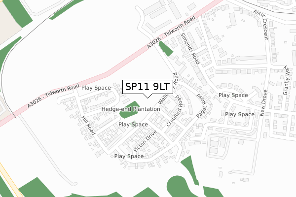
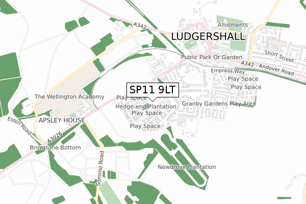
SP11 9LT maps


Licence: Open Government Licence (requires attribution)
Attribution: Contains OS data © Crown copyright and database right 2025
Source: Open Postcode Geo
Licence: Open Government Licence (requires attribution)
Attribution: Contains OS data © Crown copyright and database right 2025; Contains Royal Mail data © Royal Mail copyright and database right 2025; Source: Office for National Statistics licensed under the Open Government Licence v.3.0
SP11 9LT geodata
| Easting | 425994 |
| Northing | 150399 |
| Latitude | 51.252168 |
| Longitude | -1.628914 |
Where is SP11 9LT?
| Country | England |
| Postcode District | SP11 |
Politics
| Ward | Tidworth East & Ludgershall South |
|---|---|
| Constituency | Devizes |
Transport
Nearest bus stops to SP11 9LT
| Wiltshire House (Tidworth Road) | Ludgershall | 265m |
| Wiltshire House (Tidworth Road) | Ludgershall | 288m |
| Wellington Academy (Tidworth Road) | Ludgershall | 493m |
| Wellington Academy (Tidworth Road) | Ludgershall | 518m |
| War Memorial (Tidworth Road) | Ludgershall | 601m |
Deprivation
19.3% of English postcodes are less deprived than SP11 9LT:Food Standards Agency
Three nearest food hygiene ratings to SP11 9LT (metres)

➜ Get more ratings from the Food Standards Agency
Nearest post box to SP11 9LT
| Last Collection | |||
|---|---|---|---|
| Location | Mon-Fri | Sat | Distance |
| Tidworth Road | 17:15 | 12:00 | 197m |
| Ludgershall Post Office | 17:15 | 12:30 | 679m |
| Empress Road | 17:15 | 12:00 | 711m |
SP11 9LT ITL and SP11 9LT LAU
The below table lists the International Territorial Level (ITL) codes (formerly Nomenclature of Territorial Units for Statistics (NUTS) codes) and Local Administrative Units (LAU) codes for SP11 9LT:
| ITL 1 Code | Name |
|---|---|
| TLK | South West (England) |
| ITL 2 Code | Name |
| TLK1 | Gloucestershire, Wiltshire and Bath/Bristol area |
| ITL 3 Code | Name |
| TLK15 | Wiltshire |
| LAU 1 Code | Name |
| E06000054 | Wiltshire |
SP11 9LT census areas
The below table lists the Census Output Area (OA), Lower Layer Super Output Area (LSOA), and Middle Layer Super Output Area (MSOA) for SP11 9LT:
| Code | Name | |
|---|---|---|
| OA | E00166432 | |
| LSOA | E01031878 | Wiltshire 041C |
| MSOA | E02006643 | Wiltshire 041 |
Nearest postcodes to SP11 9LT
| SP11 9RH | Simonds Road | 193m |
| SP11 9RJ | Redford Lane | 197m |
| SP11 9RW | Stable Close | 226m |
| SP11 9RQ | Simonds Road | 230m |
| SP11 9FB | Spinney Road | 236m |
| SP11 9FL | Porter Place | 252m |
| SP11 9RN | New Drove | 280m |
| SP11 9FN | Barley Mews | 281m |
| SP11 9FJ | Malthouse Walk | 293m |
| SP11 9RF | Astor Crescent | 307m |