Property/Postcode Data Search:
SP11 6XU maps, stats, and open data
SP11 6XU is located in the Andover Romans electoral ward, within the local authority district of Test Valley and the English Parliamentary constituency of North West Hampshire. The Sub Integrated Care Board (ICB) Location is NHS Hampshire and Isle of Wight ICB - D9Y0V and the police force is Hampshire. This postcode has been in use since June 2019.
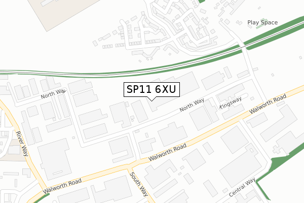
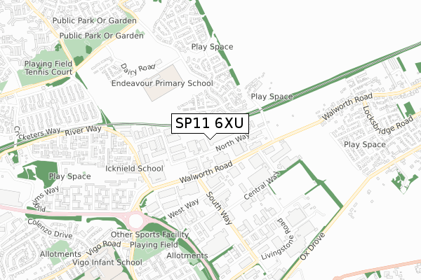
SP11 6XU maps


Source: OS Open Zoomstack (Ordnance Survey)
Licence: Open Government Licence (requires attribution)
Attribution: Contains OS data © Crown copyright and database right 2025
Source: Open Postcode Geo
Licence: Open Government Licence (requires attribution)
Attribution: Contains OS data © Crown copyright and database right 2025; Contains Royal Mail data © Royal Mail copyright and database right 2025; Source: Office for National Statistics licensed under the Open Government Licence v.3.0
Licence: Open Government Licence (requires attribution)
Attribution: Contains OS data © Crown copyright and database right 2025
Source: Open Postcode Geo
Licence: Open Government Licence (requires attribution)
Attribution: Contains OS data © Crown copyright and database right 2025; Contains Royal Mail data © Royal Mail copyright and database right 2025; Source: Office for National Statistics licensed under the Open Government Licence v.3.0
SP11 6XU geodata
| Easting | 437214 |
| Northing | 148346 |
| Latitude | 51.233088 |
| Longitude | -1.468365 |
Where is SP11 6XU?
| Country | England |
| Postcode District | SP11 |
Politics
| Ward | Andover Romans |
|---|---|
| Constituency | North West Hampshire |
Transport
Nearest bus stops to SP11 6XU
| Unknown (East Anton Farm Road) | East Anton | 339m |
| Unknown (East Anton Farm Road) | East Anton | 354m |
| Community Centre (East Anton Farm Road) | East Anton | 468m |
| Community Centre (East Anton Farm Road) | East Anton | 476m |
| Woolwich Way | East Anton | 508m |
Nearest railway stations to SP11 6XU
| Andover Station | 2.9km |
Deprivation
49% of English postcodes are less deprived than SP11 6XU:Food Standards Agency
Three nearest food hygiene ratings to SP11 6XU (metres)
Pizza Time

Unit 2
539m
The Southern Co-operative Ltd

Unit 1
539m
Smart Fish Bar

Unit 3
539m
➜ Get more ratings from the Food Standards Agency
Nearest post box to SP11 6XU
| Last Collection | |||
|---|---|---|---|
| Location | Mon-Fri | Sat | Distance |
| Knights Enham | 17:15 | 11:15 | 748m |
| Enham Alamein Post Office | 17:15 | 12:00 | 1,010m |
| Smannel Road | 17:15 | 12:00 | 1,222m |
SP11 6XU ITL and SP11 6XU LAU
The below table lists the International Territorial Level (ITL) codes (formerly Nomenclature of Territorial Units for Statistics (NUTS) codes) and Local Administrative Units (LAU) codes for SP11 6XU:
| ITL 1 Code | Name |
|---|---|
| TLJ | South East (England) |
| ITL 2 Code | Name |
| TLJ3 | Hampshire and Isle of Wight |
| ITL 3 Code | Name |
| TLJ36 | Central Hampshire |
| LAU 1 Code | Name |
| E07000093 | Test Valley |
SP11 6XU census areas
The below table lists the Census Output Area (OA), Lower Layer Super Output Area (LSOA), and Middle Layer Super Output Area (MSOA) for SP11 6XU:
| Code | Name | |
|---|---|---|
| OA | E00117629 | |
| LSOA | E01023155 | Test Valley 003A |
| MSOA | E02004816 | Test Valley 003 |
Nearest postcodes to SP11 6XU
| SP11 6RY | Olympic Park Road | 388m |
| SP11 6WQ | Hadleigh Close | 390m |
| SP11 6AD | East Anton Cottages | 441m |
| SP11 6SA | Eton Dorney Walk | 453m |
| SP11 6RG | Harebell Road | 453m |
| SP11 6WP | Portland Close | 465m |
| SP11 6RZ | Woolwich Way | 470m |
| SP11 6RR | Vetch Way | 504m |
| SP11 6AB | 507m | |
| SP11 6SD | Hampton Road | 509m |