Property/Postcode Data Search:
SO41 9BF open data databoard
SO41 9BF is located in the Lymington electoral ward, within the local authority district of New Forest and the English Parliamentary constituency of New Forest West. The Sub Integrated Care Board (ICB) Location is NHS Hampshire and Isle of Wight ICB - D9Y0V and the police force is Hampshire. This postcode has been in use since May 2019.
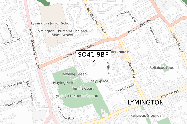
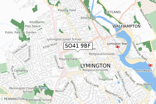
SO41 9BF maps


Source: OS Open Zoomstack (Ordnance Survey)
Licence: Open Government Licence (requires attribution)
Attribution: Contains OS data © Crown copyright and database right 2025
Source: Open Postcode Geo
Licence: Open Government Licence (requires attribution)
Attribution: Contains OS data © Crown copyright and database right 2025; Contains Royal Mail data © Royal Mail copyright and database right 2025; Source: Office for National Statistics licensed under the Open Government Licence v.3.0
Licence: Open Government Licence (requires attribution)
Attribution: Contains OS data © Crown copyright and database right 2025
Source: Open Postcode Geo
Licence: Open Government Licence (requires attribution)
Attribution: Contains OS data © Crown copyright and database right 2025; Contains Royal Mail data © Royal Mail copyright and database right 2025; Source: Office for National Statistics licensed under the Open Government Licence v.3.0
SO41 9BF geodata
| Easting | 432119 |
| Northing | 95728 |
| Latitude | 50.760252 |
| Longitude | -1.545978 |
Where is SO41 9BF?
| Country | England |
| Postcode District | SO41 |
Politics
| Ward | Lymington |
|---|---|
| Constituency | New Forest West |
Transport
Nearest bus stops to SO41 9BF
| Town Hall (Avenue Road) | Lymington | 101m |
| Town Hall (Avenue Road) | Lymington | 114m |
| Main Post Office (High Street) | Lymington | 301m |
| Sports Ground (Southampton Road) | Lymington | 302m |
| Main Post Office (High Street) | Lymington | 307m |
Nearest railway stations to SO41 9BF
| Lymington Town Station | 0.6km |
| Lymington Pier Station | 1.2km |
| Sway Station | 5.3km |
Deprivation
41.2% of English postcodes are less deprived than SO41 9BF:Food Standards Agency
Three nearest food hygiene ratings to SO41 9BF (metres)
BOROUGH ARMS LTD

39 AVENUE ROAD
130m
LYMINGTON INFANT SCHOOL

AVENUE ROAD
135m
LYMINGTON JUNIOR SCHOOL

AVENUE ROAD
135m
➜ Get more ratings from the Food Standards Agency
Nearest post box to SO41 9BF
| Last Collection | |||
|---|---|---|---|
| Location | Mon-Fri | Sat | Distance |
| Emsworth Road | 17:00 | 12:00 | 106m |
| New Street | 17:15 | 11:45 | 177m |
| Lymington Post Office | 18:00 | 12:00 | 317m |
SO41 9BF ITL and SO41 9BF LAU
The below table lists the International Territorial Level (ITL) codes (formerly Nomenclature of Territorial Units for Statistics (NUTS) codes) and Local Administrative Units (LAU) codes for SO41 9BF:
| ITL 1 Code | Name |
|---|---|
| TLJ | South East (England) |
| ITL 2 Code | Name |
| TLJ3 | Hampshire and Isle of Wight |
| ITL 3 Code | Name |
| TLJ36 | Central Hampshire |
| LAU 1 Code | Name |
| E07000091 | New Forest |
SO41 9BF census areas
The below table lists the Census Output Area (OA), Lower Layer Super Output Area (LSOA), and Middle Layer Super Output Area (MSOA) for SO41 9BF:
| Code | Name | |
|---|---|---|
| OA | E00117082 | |
| LSOA | E01023042 | New Forest 017D |
| MSOA | E02004795 | New Forest 017 |
Nearest postcodes to SO41 9BF
| SO41 9GJ | Avenue Road | 95m |
| SO41 9GP | Avenue Road | 129m |
| SO41 9FX | Avenue Road | 132m |
| SO41 9BS | Emsworth Road | 141m |
| SO41 9FL | Shrubbs Avenue | 159m |
| SO41 9NX | Lyric Place | 163m |
| SO41 9BL | Emsworth Road | 168m |
| SO41 9BJ | New Street | 170m |
| SO41 9FY | Avenue Road | 179m |
| SO41 9DH | Lower Buckland Road | 181m |