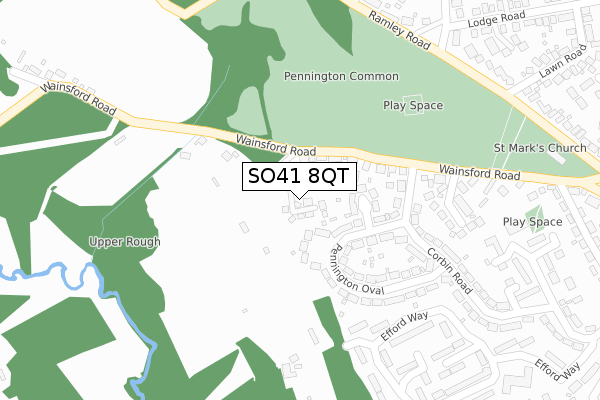
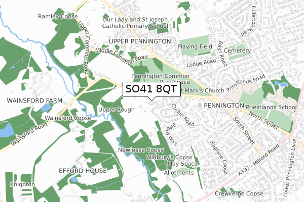
SO41 8QT is located in the Pennington electoral ward, within the local authority district of New Forest and the English Parliamentary constituency of New Forest West. The Sub Integrated Care Board (ICB) Location is NHS Hampshire and Isle of Wight ICB - D9Y0V and the police force is Hampshire. This postcode has been in use since August 2019.


GetTheData
Source: OS Open Zoomstack (Ordnance Survey)
Licence: Open Government Licence (requires attribution)
Attribution: Contains OS data © Crown copyright and database right 2025
Source: Open Postcode Geo
Licence: Open Government Licence (requires attribution)
Attribution: Contains OS data © Crown copyright and database right 2025; Contains Royal Mail data © Royal Mail copyright and database right 2025; Source: Office for National Statistics licensed under the Open Government Licence v.3.0
| Easting | 430518 |
| Northing | 94987 |
| Latitude | 50.753675 |
| Longitude | -1.568738 |
GetTheData
Source: Open Postcode Geo
Licence: Open Government Licence
| Country | England |
| Postcode District | SO41 |
➜ See where SO41 is on a map ➜ Where is Lymington? | |
GetTheData
Source: Land Registry Price Paid Data
Licence: Open Government Licence
| Ward | Pennington |
| Constituency | New Forest West |
GetTheData
Source: ONS Postcode Database
Licence: Open Government Licence
3, NURSERY GROVE, PENNINGTON, LYMINGTON, SO41 8QT 2020 26 FEB £487,000 |
2, NURSERY GROVE, PENNINGTON, LYMINGTON, SO41 8QT 2020 24 FEB £490,000 |
8, NURSERY GROVE, PENNINGTON, LYMINGTON, SO41 8QT 2019 17 SEP £540,000 |
GetTheData
Source: HM Land Registry Price Paid Data
Licence: Contains HM Land Registry data © Crown copyright and database right 2025. This data is licensed under the Open Government Licence v3.0.
| Pennington Oval H&r (Corbin Road) | Pennington | 178m |
| Pennington Oval (Corbin Road) | Pennington | 181m |
| Pennington Oval (Corbin Road) | Pennington | 275m |
| Wi Hall (Ramley Road) | Pennington | 348m |
| Wi Hall (Ramley Road) | Pennington | 354m |
| Lymington Town Station | 2.4km |
| Lymington Pier Station | 2.8km |
| Sway Station | 4.5km |
GetTheData
Source: NaPTAN
Licence: Open Government Licence
GetTheData
Source: ONS Postcode Database
Licence: Open Government Licence


➜ Get more ratings from the Food Standards Agency
GetTheData
Source: Food Standards Agency
Licence: FSA terms & conditions
| Last Collection | |||
|---|---|---|---|
| Location | Mon-Fri | Sat | Distance |
| Efford Way | 17:15 | 11:45 | 478m |
| Pennington Post Office | 17:15 | 11:45 | 535m |
| Gordon Road | 17:30 | 11:30 | 675m |
GetTheData
Source: Dracos
Licence: Creative Commons Attribution-ShareAlike
The below table lists the International Territorial Level (ITL) codes (formerly Nomenclature of Territorial Units for Statistics (NUTS) codes) and Local Administrative Units (LAU) codes for SO41 8QT:
| ITL 1 Code | Name |
|---|---|
| TLJ | South East (England) |
| ITL 2 Code | Name |
| TLJ3 | Hampshire and Isle of Wight |
| ITL 3 Code | Name |
| TLJ36 | Central Hampshire |
| LAU 1 Code | Name |
| E07000091 | New Forest |
GetTheData
Source: ONS Postcode Directory
Licence: Open Government Licence
The below table lists the Census Output Area (OA), Lower Layer Super Output Area (LSOA), and Middle Layer Super Output Area (MSOA) for SO41 8QT:
| Code | Name | |
|---|---|---|
| OA | E00117176 | |
| LSOA | E01023060 | New Forest 019D |
| MSOA | E02004797 | New Forest 019 |
GetTheData
Source: ONS Postcode Directory
Licence: Open Government Licence
| SO41 8BS | West Close | 48m |
| SO41 8BQ | Pennington Oval | 55m |
| SO41 8BR | Wainsford Close | 106m |
| SO41 8GG | Wainsford Road | 113m |
| SO41 8BT | Pennington Oval | 151m |
| SO41 8BP | Corbin Road | 169m |
| SO41 8BU | Pennington Oval | 197m |
| SO41 8LB | Wainsford Road | 216m |
| SO41 8BN | Corbin Road | 261m |
| SO41 8GF | Conifer Crescent | 263m |
GetTheData
Source: Open Postcode Geo; Land Registry Price Paid Data
Licence: Open Government Licence