Property/Postcode Data Search:
SO31 8NE open data databoard
SO31 8NE is located in the Bursledon & Hound North electoral ward, within the local authority district of Eastleigh and the English Parliamentary constituency of Eastleigh. The Sub Integrated Care Board (ICB) Location is NHS Hampshire and Isle of Wight ICB - D9Y0V and the police force is Hampshire. This postcode has been in use since October 2019.
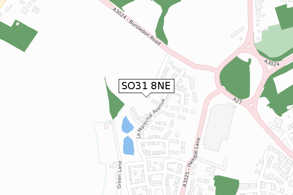
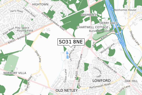
SO31 8NE maps


Source: OS Open Zoomstack (Ordnance Survey)
Licence: Open Government Licence (requires attribution)
Attribution: Contains OS data © Crown copyright and database right 2025
Source: Open Postcode Geo
Licence: Open Government Licence (requires attribution)
Attribution: Contains OS data © Crown copyright and database right 2025; Contains Royal Mail data © Royal Mail copyright and database right 2025; Source: Office for National Statistics licensed under the Open Government Licence v.3.0
Licence: Open Government Licence (requires attribution)
Attribution: Contains OS data © Crown copyright and database right 2025
Source: Open Postcode Geo
Licence: Open Government Licence (requires attribution)
Attribution: Contains OS data © Crown copyright and database right 2025; Contains Royal Mail data © Royal Mail copyright and database right 2025; Source: Office for National Statistics licensed under the Open Government Licence v.3.0
SO31 8NE geodata
| Easting | 447729 |
| Northing | 110819 |
| Latitude | 50.894878 |
| Longitude | -1.322714 |
Where is SO31 8NE?
| Country | England |
| Postcode District | SO31 |
Politics
| Ward | Bursledon & Hound North |
|---|---|
| Constituency | Eastleigh |
House Prices
Sales of detached houses in SO31 8NE
2023 15 DEC £445,000 |
2023 25 AUG £485,000 |
15, WARWICK WAY, BURSLEDON, SOUTHAMPTON, SO31 8NE 2020 17 DEC £412,690 |
44, WARWICK WAY, BURSLEDON, SOUTHAMPTON, SO31 8NE 2020 29 JUN £460,000 |
37, WARWICK WAY, BURSLEDON, SOUTHAMPTON, SO31 8NE 2020 7 FEB £320,000 |
6, WARWICK WAY, BURSLEDON, SOUTHAMPTON, SO31 8NE 2020 24 JAN £340,000 |
33, WARWICK WAY, BURSLEDON, SOUTHAMPTON, SO31 8NE 2020 23 JAN £460,000 |
35, WARWICK WAY, BURSLEDON, SOUTHAMPTON, SO31 8NE 2019 20 DEC £380,000 |
42, WARWICK WAY, BURSLEDON, SOUTHAMPTON, SO31 8NE 2019 13 DEC £450,000 |
2019 13 DEC £425,000 |
Source: HM Land Registry Price Paid Data
Licence: Contains HM Land Registry data © Crown copyright and database right 2025. This data is licensed under the Open Government Licence v3.0.
Licence: Contains HM Land Registry data © Crown copyright and database right 2025. This data is licensed under the Open Government Licence v3.0.
Transport
Nearest bus stops to SO31 8NE
| Hamble Lane | Lowford | 91m |
| Hamble Lane | Lowford | 117m |
| Windhover Tesco (Tesco Acess Road) | Lowford | 185m |
| Windhover Roundabout (Bursledon Road) | Lowford | 238m |
| Windhover Roundabout (Bursledon Road) | Lowford | 253m |
Nearest railway stations to SO31 8NE
| Bursledon Station | 1.8km |
| Netley Station | 2.6km |
| Hamble Station | 2.7km |
Deprivation
46.1% of English postcodes are less deprived than SO31 8NE:Food Standards Agency
Three nearest food hygiene ratings to SO31 8NE (metres)
Tesco Family Dining Ltd

TESCO SUPERMARKET HAMBLE LANE BURSLEDON SOUTHAMPTON SO31 8GN
164m
YO! TO GO

TESCO SUPERMARKET HAMBLE LANE BURSLEDON SOUTHAMPTON SO31 8GN
164m
TESCO

TESCO SUPERMARKET HAMBLE LANE BURSLEDON SOUTHAMPTON SO31 8GN
164m
➜ Get more ratings from the Food Standards Agency
Nearest post box to SO31 8NE
| Last Collection | |||
|---|---|---|---|
| Location | Mon-Fri | Sat | Distance |
| Tesco Superstore | 16:00 | 09:00 | 208m |
| Windmill Lane | 16:00 | 07:30 | 398m |
| Lionheart Way | 16:00 | 09:00 | 418m |
SO31 8NE ITL and SO31 8NE LAU
The below table lists the International Territorial Level (ITL) codes (formerly Nomenclature of Territorial Units for Statistics (NUTS) codes) and Local Administrative Units (LAU) codes for SO31 8NE:
| ITL 1 Code | Name |
|---|---|
| TLJ | South East (England) |
| ITL 2 Code | Name |
| TLJ3 | Hampshire and Isle of Wight |
| ITL 3 Code | Name |
| TLJ35 | South Hampshire |
| LAU 1 Code | Name |
| E07000086 | Eastleigh |
SO31 8NE census areas
The below table lists the Census Output Area (OA), Lower Layer Super Output Area (LSOA), and Middle Layer Super Output Area (MSOA) for SO31 8NE:
| Code | Name | |
|---|---|---|
| OA | E00115180 | |
| LSOA | E01022656 | Eastleigh 013C |
| MSOA | E02004724 | Eastleigh 013 |
Nearest postcodes to SO31 8NE
| SO31 8GE | Woolwich Close | 259m |
| SO31 8GH | St George Close | 354m |
| SO31 8GF | Lionheart Way | 368m |
| SO31 8HE | Devonshire Gardens | 369m |
| SO31 8GG | Lionheart Way | 389m |
| SO31 8JZ | Millers View | 391m |
| SO31 8HL | Lionheart Way | 410m |
| SO31 8GL | Seaford Close | 414m |
| SO31 8JY | Lonsdale Gardens | 417m |
| SO31 8HB | Penelope Gardens | 444m |