Property/Postcode Data Search:
SO23 8FF open data databoard
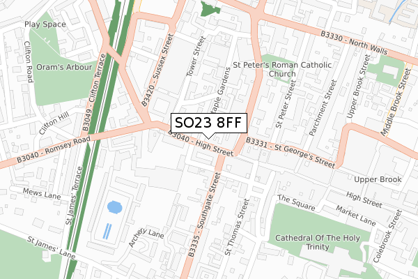
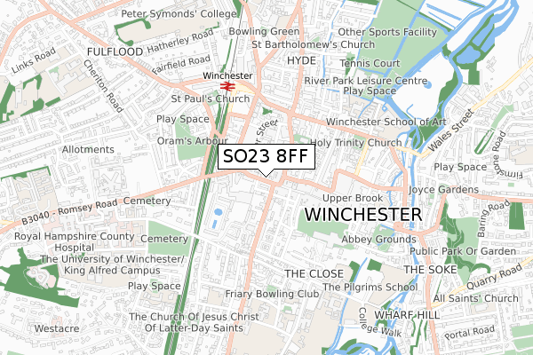
SO23 8FF is located in the St Bartholomew electoral ward, within the local authority district of Winchester and the English Parliamentary constituency of Winchester. The Sub Integrated Care Board (ICB) Location is NHS Hampshire and Isle of Wight ICB - D9Y0V and the police force is Hampshire. This postcode has been in use since August 2018.
SO23 8FF maps


Source: OS Open Zoomstack (Ordnance Survey)
Licence: Open Government Licence (requires attribution)
Attribution: Contains OS data © Crown copyright and database right 2025
Source: Open Postcode Geo
Licence: Open Government Licence (requires attribution)
Attribution: Contains OS data © Crown copyright and database right 2025; Contains Royal Mail data © Royal Mail copyright and database right 2025; Source: Office for National Statistics licensed under the Open Government Licence v.3.0
Licence: Open Government Licence (requires attribution)
Attribution: Contains OS data © Crown copyright and database right 2025
Source: Open Postcode Geo
Licence: Open Government Licence (requires attribution)
Attribution: Contains OS data © Crown copyright and database right 2025; Contains Royal Mail data © Royal Mail copyright and database right 2025; Source: Office for National Statistics licensed under the Open Government Licence v.3.0
SO23 8FF geodata
| Easting | 447925 |
| Northing | 129556 |
| Latitude | 51.063341 |
| Longitude | -1.317461 |
Where is SO23 8FF?
| Country | England |
| Postcode District | SO23 |
Politics
| Ward | St Bartholomew |
|---|---|
| Constituency | Winchester |
Transport
Nearest bus stops to SO23 8FF
| Jewry Street | Winchester | 76m |
| Jewry Street | Winchester | 119m |
| Westgate (Sussex Street) | Winchester | 173m |
| St. Thomas Church (Southgate Street) | Winchester | 196m |
| Westgate (Upper High Street) | Winchester | 220m |
Nearest railway stations to SO23 8FF
| Winchester Station | 0.5km |
| Shawford Station | 4.6km |
Deprivation
38% of English postcodes are less deprived than SO23 8FF:Food Standards Agency
Three nearest food hygiene ratings to SO23 8FF (metres)
O'Neills Also Trading As Burger Dudes

O'Neill's
25m
Anita's Kitchen

65A High Street
25m
Cote Brasserie

73 High Street
25m
➜ Get more ratings from the Food Standards Agency
Nearest post box to SO23 8FF
| Last Collection | |||
|---|---|---|---|
| Location | Mon-Fri | Sat | Distance |
| High Street | 17:45 | 11:00 | 29m |
| Upper High Street Post Office | 18:30 | 12:15 | 167m |
| City Cross | 17:30 | 11:30 | 174m |
SO23 8FF ITL and SO23 8FF LAU
The below table lists the International Territorial Level (ITL) codes (formerly Nomenclature of Territorial Units for Statistics (NUTS) codes) and Local Administrative Units (LAU) codes for SO23 8FF:
| ITL 1 Code | Name |
|---|---|
| TLJ | South East (England) |
| ITL 2 Code | Name |
| TLJ3 | Hampshire and Isle of Wight |
| ITL 3 Code | Name |
| TLJ36 | Central Hampshire |
| LAU 1 Code | Name |
| E07000094 | Winchester |
SO23 8FF census areas
The below table lists the Census Output Area (OA), Lower Layer Super Output Area (LSOA), and Middle Layer Super Output Area (MSOA) for SO23 8FF:
| Code | Name | |
|---|---|---|
| OA | E00118141 | |
| LSOA | E01023252 | Winchester 007A |
| MSOA | E02004835 | Winchester 007 |
Nearest postcodes to SO23 8FF
| SO23 9AP | High Street | 23m |
| SO23 9DA | High Street | 27m |
| SO23 9DB | St Clement Street | 56m |
| SO23 9DH | Trafalgar Street | 60m |
| SO23 9DR | St Clement Street | 61m |
| SO23 8SZ | Cross Street | 63m |
| SO23 9DY | Southgate Street | 73m |
| SO23 8SJ | Printers Row | 73m |
| SO23 9BX | High Street | 76m |
| SO23 8RG | Jewry Street | 92m |