SO17 2BL open data databoard
- Home
- Postcode
- SO
- SO17
- SO17 2
SO17 2BL is located in the Portswood electoral ward, within the unitary authority of Southampton and the English Parliamentary constituency of Southampton, Test. The Sub Integrated Care Board (ICB) Location is NHS Hampshire and Isle of Wight ICB - D9Y0V and the police force is Hampshire. This postcode has been in use since May 2019.
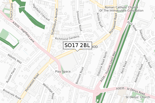
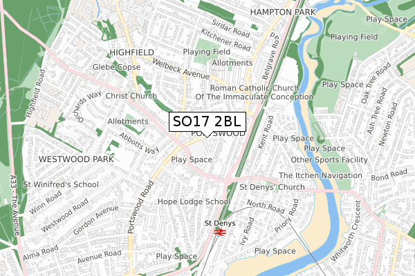
SO17 2BL maps


Source: OS Open Zoomstack (Ordnance Survey)
Licence: Open Government Licence (requires attribution)
Attribution: Contains OS data © Crown copyright and database right 2025
Source: Open Postcode GeoLicence: Open Government Licence (requires attribution)
Attribution: Contains OS data © Crown copyright and database right 2025; Contains Royal Mail data © Royal Mail copyright and database right 2025; Source: Office for National Statistics licensed under the Open Government Licence v.3.0
SO17 2BL geodata
| Easting | 443055 |
| Northing | 114392 |
| Latitude | 50.927373 |
| Longitude | -1.388749 |
Where is SO17 2BL?
| Country | England |
| Postcode District | SO17 |
Politics
| Ward | Portswood |
|---|
| Constituency | Southampton, Test |
|---|
Transport
Nearest bus stops to SO17 2BL
| Sainsbury (Portswood Road) | Portswood | 23m |
| Sainsbury (Portswood Road) | Portswood | 97m |
| The Mitre (St Denys' Road) | Portswood | 163m |
| Portswood Broadway (St Denys Road) | Portswood | 193m |
| Highfield Crescent (Shaftesbury Avenue) | Portswood | 211m |
Nearest railway stations to SO17 2BL
| St Denys Station | 0.6km |
| Bitterne Station | 1.3km |
| Swaythling Station | 1.8km |
Broadband
Broadband access in SO17 2BL (2020 data)
| Percentage of properties with Next Generation Access | 100.0% |
| Percentage of properties with Superfast Broadband | 100.0% |
| Percentage of properties with Ultrafast Broadband | 100.0% |
| Percentage of properties with Full Fibre Broadband | 0.0% |
Superfast Broadband is between 30Mbps and 300Mbps
Ultrafast Broadband is > 300Mbps
Broadband limitations in SO17 2BL (2020 data)
| Percentage of properties unable to receive 2Mbps | 0.0% |
| Percentage of properties unable to receive 5Mbps | 0.0% |
| Percentage of properties unable to receive 10Mbps | 0.0% |
| Percentage of properties unable to receive 30Mbps | 0.0% |
Deprivation
61.3% of English postcodes are less deprived than
SO17 2BL:
Food Standards Agency
Three nearest food hygiene ratings to SO17 2BL (metres)
Baboo Ji Vegetarian Kitchen
Mettricks Portswood
267 - 271 Portswood Road
153m
Vita Student Portswood
➜ Get more ratings from the Food Standards Agency
Nearest post box to SO17 2BL
| | Last Collection | |
|---|
| Location | Mon-Fri | Sat | Distance |
|---|
| Grosvenor Road | 16:00 | 12:00 | 244m |
| Portswood Post Office | 18:45 | 11:45 | 311m |
| Adelaide Road | 17:30 | 11:30 | 370m |
SO17 2BL ITL and SO17 2BL LAU
The below table lists the International Territorial Level (ITL) codes (formerly Nomenclature of Territorial Units for Statistics (NUTS) codes) and Local Administrative Units (LAU) codes for SO17 2BL:
| ITL 1 Code | Name |
|---|
| TLJ | South East (England) |
| ITL 2 Code | Name |
|---|
| TLJ3 | Hampshire and Isle of Wight |
| ITL 3 Code | Name |
|---|
| TLJ32 | Southampton |
| LAU 1 Code | Name |
|---|
| E06000045 | Southampton |
SO17 2BL census areas
The below table lists the Census Output Area (OA), Lower Layer Super Output Area (LSOA), and Middle Layer Super Output Area (MSOA) for SO17 2BL:
| Code | Name |
|---|
| OA | E00087043 | |
|---|
| LSOA | E01017234 | Southampton 013D |
|---|
| MSOA | E02003561 | Southampton 013 |
|---|
Nearest postcodes to SO17 2BL


