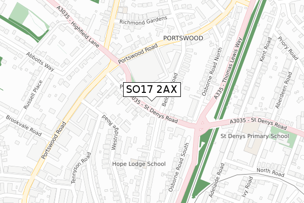
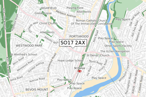
SO17 2AX is located in the Portswood electoral ward, within the unitary authority of Southampton and the English Parliamentary constituency of Southampton, Test. The Sub Integrated Care Board (ICB) Location is NHS Hampshire and Isle of Wight ICB - D9Y0V and the police force is Hampshire. This postcode has been in use since January 2019.


GetTheData
Source: OS Open Zoomstack (Ordnance Survey)
Licence: Open Government Licence (requires attribution)
Attribution: Contains OS data © Crown copyright and database right 2025
Source: Open Postcode Geo
Licence: Open Government Licence (requires attribution)
Attribution: Contains OS data © Crown copyright and database right 2025; Contains Royal Mail data © Royal Mail copyright and database right 2025; Source: Office for National Statistics licensed under the Open Government Licence v.3.0
| Easting | 443017 |
| Northing | 114214 |
| Latitude | 50.925775 |
| Longitude | -1.389310 |
GetTheData
Source: Open Postcode Geo
Licence: Open Government Licence
| Country | England |
| Postcode District | SO17 |
➜ See where SO17 is on a map ➜ Where is Southampton? | |
GetTheData
Source: Land Registry Price Paid Data
Licence: Open Government Licence
| Ward | Portswood |
| Constituency | Southampton, Test |
GetTheData
Source: ONS Postcode Database
Licence: Open Government Licence
| Belmont Road (St Denys' Road) | Portswood | 80m |
| Belmont Road (St Denys' Road) | Portswood | 97m |
| The Mitre (St Denys' Road) | Portswood | 109m |
| Portswood Broadway (St Denys Road) | Portswood | 139m |
| Sainsbury (Portswood Road) | Portswood | 161m |
| St Denys Station | 0.4km |
| Bitterne Station | 1.2km |
| Swaythling Station | 1.9km |
GetTheData
Source: NaPTAN
Licence: Open Government Licence
| Percentage of properties with Next Generation Access | 100.0% |
| Percentage of properties with Superfast Broadband | 100.0% |
| Percentage of properties with Ultrafast Broadband | 100.0% |
| Percentage of properties with Full Fibre Broadband | 100.0% |
Superfast Broadband is between 30Mbps and 300Mbps
Ultrafast Broadband is > 300Mbps
| Percentage of properties unable to receive 2Mbps | 0.0% |
| Percentage of properties unable to receive 5Mbps | 0.0% |
| Percentage of properties unable to receive 10Mbps | 0.0% |
| Percentage of properties unable to receive 30Mbps | 0.0% |
GetTheData
Source: Ofcom
Licence: Ofcom Terms of Use (requires attribution)
GetTheData
Source: ONS Postcode Database
Licence: Open Government Licence


➜ Get more ratings from the Food Standards Agency
GetTheData
Source: Food Standards Agency
Licence: FSA terms & conditions
| Last Collection | |||
|---|---|---|---|
| Location | Mon-Fri | Sat | Distance |
| Portswood Post Office | 18:45 | 11:45 | 218m |
| Adelaide Road | 17:30 | 11:30 | 302m |
| Grosvenor Road | 16:00 | 12:00 | 422m |
GetTheData
Source: Dracos
Licence: Creative Commons Attribution-ShareAlike
The below table lists the International Territorial Level (ITL) codes (formerly Nomenclature of Territorial Units for Statistics (NUTS) codes) and Local Administrative Units (LAU) codes for SO17 2AX:
| ITL 1 Code | Name |
|---|---|
| TLJ | South East (England) |
| ITL 2 Code | Name |
| TLJ3 | Hampshire and Isle of Wight |
| ITL 3 Code | Name |
| TLJ32 | Southampton |
| LAU 1 Code | Name |
| E06000045 | Southampton |
GetTheData
Source: ONS Postcode Directory
Licence: Open Government Licence
The below table lists the Census Output Area (OA), Lower Layer Super Output Area (LSOA), and Middle Layer Super Output Area (MSOA) for SO17 2AX:
| Code | Name | |
|---|---|---|
| OA | E00087043 | |
| LSOA | E01017234 | Southampton 013D |
| MSOA | E02003561 | Southampton 013 |
GetTheData
Source: ONS Postcode Directory
Licence: Open Government Licence
| SO17 2GG | St Denys Road | 58m |
| SO17 2GN | St Denys Road | 107m |
| SO17 2GH | St Denys Road | 112m |
| SO17 2GF | Belmont Road | 124m |
| SO17 2JT | Belmont Road | 125m |
| SO17 2HL | Westridge Road | 138m |
| SO17 2UQ | Cecil Villas | 138m |
| SO17 2LB | Portswood Road | 154m |
| SO17 2FH | Osborne Road North | 176m |
| SO17 2HJ | Westridge Road | 183m |
GetTheData
Source: Open Postcode Geo; Land Registry Price Paid Data
Licence: Open Government Licence