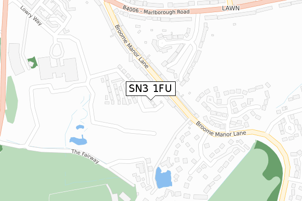
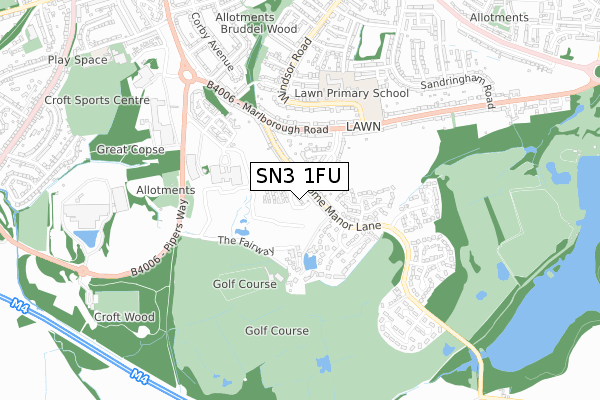
SN3 1FU is located in the Old Town electoral ward, within the unitary authority of Swindon and the English Parliamentary constituency of South Swindon. The Sub Integrated Care Board (ICB) Location is NHS Bath and North East Somerset, Swindon and Wiltshire ICB - 92 and the police force is Wiltshire. This postcode has been in use since June 2019.


GetTheData
Source: OS Open Zoomstack (Ordnance Survey)
Licence: Open Government Licence (requires attribution)
Attribution: Contains OS data © Crown copyright and database right 2025
Source: Open Postcode Geo
Licence: Open Government Licence (requires attribution)
Attribution: Contains OS data © Crown copyright and database right 2025; Contains Royal Mail data © Royal Mail copyright and database right 2025; Source: Office for National Statistics licensed under the Open Government Licence v.3.0
| Easting | 416470 |
| Northing | 182470 |
| Latitude | 51.540892 |
| Longitude | -1.763900 |
GetTheData
Source: Open Postcode Geo
Licence: Open Government Licence
| Country | England |
| Postcode District | SN3 |
➜ See where SN3 is on a map ➜ Where is Swindon? | |
GetTheData
Source: Land Registry Price Paid Data
Licence: Open Government Licence
| Ward | Old Town |
| Constituency | South Swindon |
GetTheData
Source: ONS Postcode Database
Licence: Open Government Licence
| Downs View Road (Marlborough Road) | Lawn | 354m |
| Downs View Road (Marlborough Road) | Lawn | 359m |
| Wakefield House | Old Town | 367m |
| Broome Manor Lane (Marlborough Road) | Lawn | 430m |
| Broome Manor Lane (Marlborough Road) | Lawn | 433m |
| Swindon Station | 3.1km |
GetTheData
Source: NaPTAN
Licence: Open Government Licence
| Percentage of properties with Next Generation Access | 100.0% |
| Percentage of properties with Superfast Broadband | 100.0% |
| Percentage of properties with Ultrafast Broadband | 100.0% |
| Percentage of properties with Full Fibre Broadband | 100.0% |
Superfast Broadband is between 30Mbps and 300Mbps
Ultrafast Broadband is > 300Mbps
| Percentage of properties unable to receive 2Mbps | 0.0% |
| Percentage of properties unable to receive 5Mbps | 0.0% |
| Percentage of properties unable to receive 10Mbps | 0.0% |
| Percentage of properties unable to receive 30Mbps | 0.0% |
GetTheData
Source: Ofcom
Licence: Ofcom Terms of Use (requires attribution)
GetTheData
Source: ONS Postcode Database
Licence: Open Government Licence


➜ Get more ratings from the Food Standards Agency
GetTheData
Source: Food Standards Agency
Licence: FSA terms & conditions
| Last Collection | |||
|---|---|---|---|
| Location | Mon-Fri | Sat | Distance |
| Broome Manor Lane | 17:45 | 11:30 | 337m |
| Chedworth Gate | 17:45 | 11:45 | 343m |
| Sandringham Road | 17:30 | 11:30 | 697m |
GetTheData
Source: Dracos
Licence: Creative Commons Attribution-ShareAlike
The below table lists the International Territorial Level (ITL) codes (formerly Nomenclature of Territorial Units for Statistics (NUTS) codes) and Local Administrative Units (LAU) codes for SN3 1FU:
| ITL 1 Code | Name |
|---|---|
| TLK | South West (England) |
| ITL 2 Code | Name |
| TLK1 | Gloucestershire, Wiltshire and Bath/Bristol area |
| ITL 3 Code | Name |
| TLK14 | Swindon |
| LAU 1 Code | Name |
| E06000030 | Swindon |
GetTheData
Source: ONS Postcode Directory
Licence: Open Government Licence
The below table lists the Census Output Area (OA), Lower Layer Super Output Area (LSOA), and Middle Layer Super Output Area (MSOA) for SN3 1FU:
| Code | Name | |
|---|---|---|
| OA | E00078554 | |
| LSOA | E01015535 | Swindon 024C |
| MSOA | E02003235 | Swindon 024 |
GetTheData
Source: ONS Postcode Directory
Licence: Open Government Licence
| SN3 1LX | Broome Manor Lane | 104m |
| SN3 1NB | Broome Manor Lane | 105m |
| SN3 1NT | Downs View Road | 170m |
| SN3 1NS | Downs View Road | 212m |
| SN3 1NU | Leamington Grove | 213m |
| SN3 1NX | Marlborough Road | 270m |
| SN3 1NE | Chedworth Gate | 275m |
| SN3 1ND | Leverton Gate | 276m |
| SN3 1RG | The Fairway | 281m |
| SN3 1NJ | Marlborough Road | 322m |
GetTheData
Source: Open Postcode Geo; Land Registry Price Paid Data
Licence: Open Government Licence