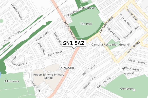
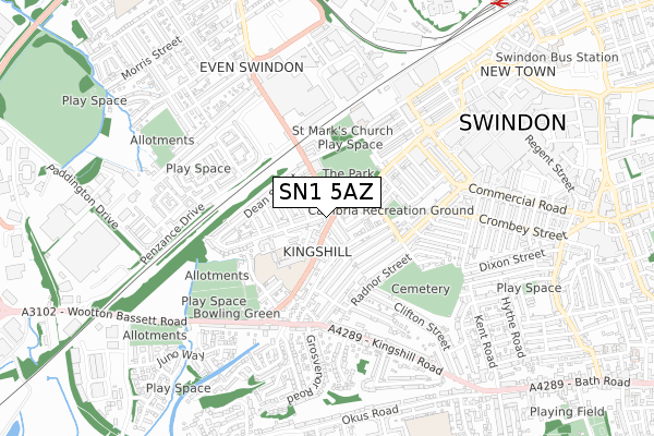
SN1 5AZ is located in the Central electoral ward, within the unitary authority of Swindon and the English Parliamentary constituency of South Swindon. The Sub Integrated Care Board (ICB) Location is NHS Bath and North East Somerset, Swindon and Wiltshire ICB - 92 and the police force is Wiltshire. This postcode has been in use since January 2018.


GetTheData
Source: OS Open Zoomstack (Ordnance Survey)
Licence: Open Government Licence (requires attribution)
Attribution: Contains OS data © Crown copyright and database right 2025
Source: Open Postcode Geo
Licence: Open Government Licence (requires attribution)
Attribution: Contains OS data © Crown copyright and database right 2025; Contains Royal Mail data © Royal Mail copyright and database right 2025; Source: Office for National Statistics licensed under the Open Government Licence v.3.0
| Easting | 414258 |
| Northing | 184394 |
| Latitude | 51.558252 |
| Longitude | -1.795718 |
GetTheData
Source: Open Postcode Geo
Licence: Open Government Licence
| Country | England |
| Postcode District | SN1 |
➜ See where SN1 is on a map ➜ Where is Swindon? | |
GetTheData
Source: Land Registry Price Paid Data
Licence: Open Government Licence
| Ward | Central |
| Constituency | South Swindon |
GetTheData
Source: ONS Postcode Database
Licence: Open Government Licence
| Birch Street (Park Lane) | Swindon | 65m |
| Birch Street (Faringdon Road) | Swindon | 67m |
| Dean Street (Park Lane) | Swindon | 134m |
| Dean Street (Park Lane) | Swindon | 183m |
| Dean Street (Church Place) | Swindon | 239m |
| Swindon Station | 1.1km |
GetTheData
Source: NaPTAN
Licence: Open Government Licence
| Percentage of properties with Next Generation Access | 100.0% |
| Percentage of properties with Superfast Broadband | 100.0% |
| Percentage of properties with Ultrafast Broadband | 100.0% |
| Percentage of properties with Full Fibre Broadband | 0.0% |
Superfast Broadband is between 30Mbps and 300Mbps
Ultrafast Broadband is > 300Mbps
| Percentage of properties unable to receive 2Mbps | 0.0% |
| Percentage of properties unable to receive 5Mbps | 0.0% |
| Percentage of properties unable to receive 10Mbps | 0.0% |
| Percentage of properties unable to receive 30Mbps | 0.0% |
GetTheData
Source: Ofcom
Licence: Ofcom Terms of Use (requires attribution)
GetTheData
Source: ONS Postcode Database
Licence: Open Government Licence


➜ Get more ratings from the Food Standards Agency
GetTheData
Source: Food Standards Agency
Licence: FSA terms & conditions
| Last Collection | |||
|---|---|---|---|
| Location | Mon-Fri | Sat | Distance |
| Westcott Place Post Office | 17:30 | 12:00 | 60m |
| Maxwell Street | 17:30 | 12:00 | 255m |
| Cambria Bridge Road | 17:30 | 12:00 | 293m |
GetTheData
Source: Dracos
Licence: Creative Commons Attribution-ShareAlike
The below table lists the International Territorial Level (ITL) codes (formerly Nomenclature of Territorial Units for Statistics (NUTS) codes) and Local Administrative Units (LAU) codes for SN1 5AZ:
| ITL 1 Code | Name |
|---|---|
| TLK | South West (England) |
| ITL 2 Code | Name |
| TLK1 | Gloucestershire, Wiltshire and Bath/Bristol area |
| ITL 3 Code | Name |
| TLK14 | Swindon |
| LAU 1 Code | Name |
| E06000030 | Swindon |
GetTheData
Source: ONS Postcode Directory
Licence: Open Government Licence
The below table lists the Census Output Area (OA), Lower Layer Super Output Area (LSOA), and Middle Layer Super Output Area (MSOA) for SN1 5AZ:
| Code | Name | |
|---|---|---|
| OA | E00078284 | |
| LSOA | E01015477 | Swindon 015C |
| MSOA | E02003226 | Swindon 015 |
GetTheData
Source: ONS Postcode Directory
Licence: Open Government Licence
| SN1 5HT | Westcott Place | 15m |
| SN1 5HQ | Westcott Place | 35m |
| SN1 5HD | Birch Street | 46m |
| SN1 5HG | Park Lane | 60m |
| SN1 5HB | Birch Street | 68m |
| SN1 5HJ | Read Street | 78m |
| SN1 5HL | Marlborough Street | 105m |
| SN1 5HF | Jolliffe Street | 110m |
| SN1 5DL | Faringdon Road | 118m |
| SN1 5HE | George Street | 129m |
GetTheData
Source: Open Postcode Geo; Land Registry Price Paid Data
Licence: Open Government Licence