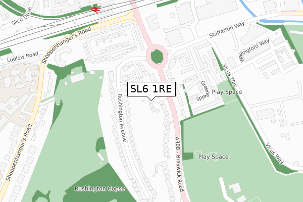
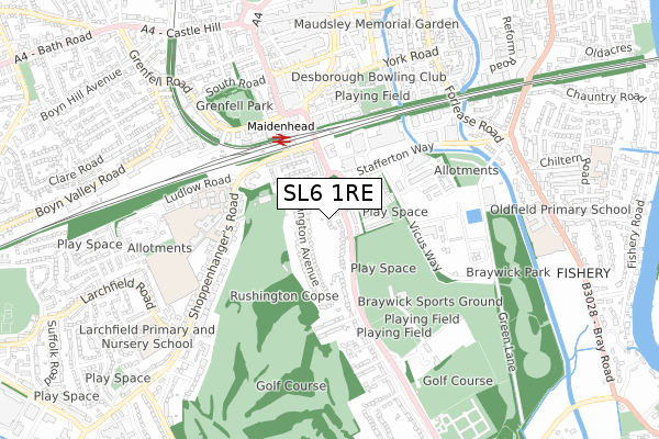
SL6 1RE is located in the Oldfield electoral ward, within the unitary authority of Windsor and Maidenhead and the English Parliamentary constituency of Maidenhead. The Sub Integrated Care Board (ICB) Location is NHS Frimley ICB - D4U1Y and the police force is Thames Valley. This postcode has been in use since September 2019.


GetTheData
Source: OS Open Zoomstack (Ordnance Survey)
Licence: Open Government Licence (requires attribution)
Attribution: Contains OS data © Crown copyright and database right 2025
Source: Open Postcode Geo
Licence: Open Government Licence (requires attribution)
Attribution: Contains OS data © Crown copyright and database right 2025; Contains Royal Mail data © Royal Mail copyright and database right 2025; Source: Office for National Statistics licensed under the Open Government Licence v.3.0
| Easting | 488877 |
| Northing | 180426 |
| Latitude | 51.515778 |
| Longitude | -0.720533 |
GetTheData
Source: Open Postcode Geo
Licence: Open Government Licence
| Country | England |
| Postcode District | SL6 |
➜ See where SL6 is on a map ➜ Where is Maidenhead? | |
GetTheData
Source: Land Registry Price Paid Data
Licence: Open Government Licence
| Ward | Oldfield |
| Constituency | Maidenhead |
GetTheData
Source: ONS Postcode Database
Licence: Open Government Licence
1, BELLWORTHY CLOSE, MAIDENHEAD, SL6 1RE 2020 13 MAR £1,030,000 |
5, BELLWORTHY CLOSE, MAIDENHEAD, SL6 1RE 2019 13 DEC £995,000 |
2, BELLWORTHY CLOSE, MAIDENHEAD, SL6 1RE 2019 13 DEC £975,000 |
GetTheData
Source: HM Land Registry Price Paid Data
Licence: Contains HM Land Registry data © Crown copyright and database right 2025. This data is licensed under the Open Government Licence v3.0.
| Sports Centre (Braywick Road) | Bray Wick | 197m |
| Maidenhead Railway Station (Shoppenhangers Road) | Maidenhead Town Centre | 285m |
| Maidenhead Railway Station (Shoppenhangers Road) | Maidenhead Town Centre | 299m |
| Railway Bridge (King Street) | Maidenhead Town Centre | 320m |
| Stafferton Way | Maidenhead | 332m |
| Maidenhead Station | 0.4km |
| Furze Platt Station | 2km |
| Taplow Station | 2.9km |
GetTheData
Source: NaPTAN
Licence: Open Government Licence
GetTheData
Source: ONS Postcode Database
Licence: Open Government Licence


➜ Get more ratings from the Food Standards Agency
GetTheData
Source: Food Standards Agency
Licence: FSA terms & conditions
| Last Collection | |||
|---|---|---|---|
| Location | Mon-Fri | Sat | Distance |
| Station Approach | 16:15 | 11:30 | 357m |
| Queen Street | 17:00 | 12:00 | 509m |
| Maidenhead Delivery Office | 18:30 | 12:30 | 517m |
GetTheData
Source: Dracos
Licence: Creative Commons Attribution-ShareAlike
The below table lists the International Territorial Level (ITL) codes (formerly Nomenclature of Territorial Units for Statistics (NUTS) codes) and Local Administrative Units (LAU) codes for SL6 1RE:
| ITL 1 Code | Name |
|---|---|
| TLJ | South East (England) |
| ITL 2 Code | Name |
| TLJ1 | Berkshire, Buckinghamshire and Oxfordshire |
| ITL 3 Code | Name |
| TLJ11 | Berkshire |
| LAU 1 Code | Name |
| E06000040 | Windsor and Maidenhead |
GetTheData
Source: ONS Postcode Directory
Licence: Open Government Licence
The below table lists the Census Output Area (OA), Lower Layer Super Output Area (LSOA), and Middle Layer Super Output Area (MSOA) for SL6 1RE:
| Code | Name | |
|---|---|---|
| OA | E00083762 | |
| LSOA | E01016592 | Windsor and Maidenhead 004E |
| MSOA | E02003424 | Windsor and Maidenhead 004 |
GetTheData
Source: ONS Postcode Directory
Licence: Open Government Licence
| SL6 1BS | Dhoon Rise | 107m |
| SL6 1BN | Braywick Road | 108m |
| SL6 1BY | Rushington Avenue | 128m |
| SL6 1DA | Braywick Road | 130m |
| SL6 1BD | Greenfields | 159m |
| SL6 1BZ | Rushington Avenue | 175m |
| SL6 1BB | Greenfields | 191m |
| SL6 1BA | Greenfields | 208m |
| SL6 2PS | Courtlands | 248m |
| SL6 2PU | Courtlands | 254m |
GetTheData
Source: Open Postcode Geo; Land Registry Price Paid Data
Licence: Open Government Licence