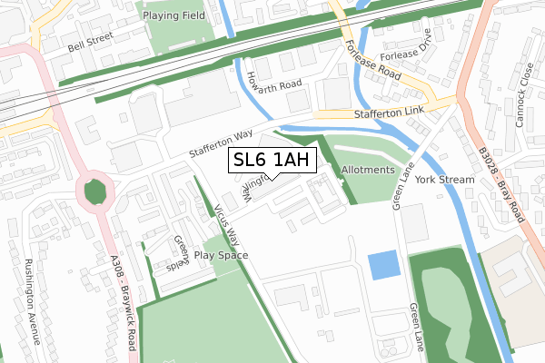
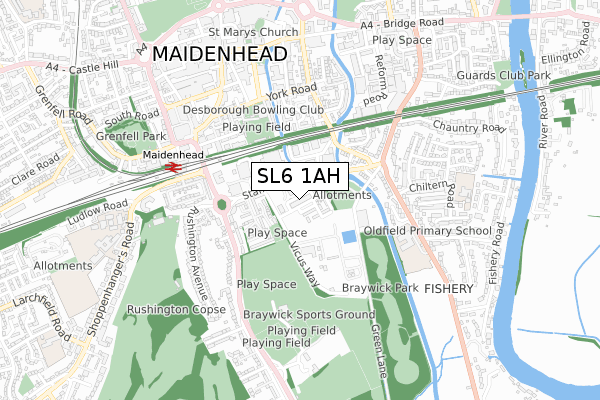
SL6 1AH is located in the Oldfield electoral ward, within the unitary authority of Windsor and Maidenhead and the English Parliamentary constituency of Maidenhead. The Sub Integrated Care Board (ICB) Location is NHS Frimley ICB - D4U1Y and the police force is Thames Valley. This postcode has been in use since August 2018.


GetTheData
Source: OS Open Zoomstack (Ordnance Survey)
Licence: Open Government Licence (requires attribution)
Attribution: Contains OS data © Crown copyright and database right 2025
Source: Open Postcode Geo
Licence: Open Government Licence (requires attribution)
Attribution: Contains OS data © Crown copyright and database right 2025; Contains Royal Mail data © Royal Mail copyright and database right 2025; Source: Office for National Statistics licensed under the Open Government Licence v.3.0
| Easting | 489221 |
| Northing | 180592 |
| Latitude | 51.517216 |
| Longitude | -0.715534 |
GetTheData
Source: Open Postcode Geo
Licence: Open Government Licence
| Country | England |
| Postcode District | SL6 |
➜ See where SL6 is on a map ➜ Where is Maidenhead? | |
GetTheData
Source: Land Registry Price Paid Data
Licence: Open Government Licence
| Ward | Oldfield |
| Constituency | Maidenhead |
GetTheData
Source: ONS Postcode Database
Licence: Open Government Licence
| Stafferton Way | Maidenhead | 94m |
| Stafferton Way | Maidenhead | 133m |
| Chiltern Road (Bray Road) | Maidenhead | 397m |
| Railway Bridge (King Street) | Maidenhead Town Centre | 419m |
| Chiltern Road (Bray Road) | Maidenhead | 434m |
| Maidenhead Station | 0.5km |
| Furze Platt Station | 2km |
| Taplow Station | 2.5km |
GetTheData
Source: NaPTAN
Licence: Open Government Licence
| Percentage of properties with Next Generation Access | 100.0% |
| Percentage of properties with Superfast Broadband | 100.0% |
| Percentage of properties with Ultrafast Broadband | 100.0% |
| Percentage of properties with Full Fibre Broadband | 100.0% |
Superfast Broadband is between 30Mbps and 300Mbps
Ultrafast Broadband is > 300Mbps
| Percentage of properties unable to receive 2Mbps | 0.0% |
| Percentage of properties unable to receive 5Mbps | 0.0% |
| Percentage of properties unable to receive 10Mbps | 0.0% |
| Percentage of properties unable to receive 30Mbps | 0.0% |
GetTheData
Source: Ofcom
Licence: Ofcom Terms of Use (requires attribution)
GetTheData
Source: ONS Postcode Database
Licence: Open Government Licence


➜ Get more ratings from the Food Standards Agency
GetTheData
Source: Food Standards Agency
Licence: FSA terms & conditions
| Last Collection | |||
|---|---|---|---|
| Location | Mon-Fri | Sat | Distance |
| Maidenhead Delivery Office | 18:30 | 12:30 | 179m |
| Station Approach | 16:15 | 11:30 | 496m |
| Oldfield Road | 16:30 | 11:30 | 508m |
GetTheData
Source: Dracos
Licence: Creative Commons Attribution-ShareAlike
The below table lists the International Territorial Level (ITL) codes (formerly Nomenclature of Territorial Units for Statistics (NUTS) codes) and Local Administrative Units (LAU) codes for SL6 1AH:
| ITL 1 Code | Name |
|---|---|
| TLJ | South East (England) |
| ITL 2 Code | Name |
| TLJ1 | Berkshire, Buckinghamshire and Oxfordshire |
| ITL 3 Code | Name |
| TLJ11 | Berkshire |
| LAU 1 Code | Name |
| E06000040 | Windsor and Maidenhead |
GetTheData
Source: ONS Postcode Directory
Licence: Open Government Licence
The below table lists the Census Output Area (OA), Lower Layer Super Output Area (LSOA), and Middle Layer Super Output Area (MSOA) for SL6 1AH:
| Code | Name | |
|---|---|---|
| OA | E00083759 | |
| LSOA | E01016591 | Windsor and Maidenhead 004D |
| MSOA | E02003424 | Windsor and Maidenhead 004 |
GetTheData
Source: ONS Postcode Directory
Licence: Open Government Licence
| SL6 1BA | Greenfields | 188m |
| SL6 1BD | Greenfields | 224m |
| SL6 1BB | Greenfields | 237m |
| SL6 1XY | Forlease Road | 285m |
| SL6 1XZ | Green Lane | 305m |
| SL6 1BN | Braywick Road | 311m |
| SL6 1SU | Fotherby Court | 317m |
| SL6 1SE | Forlease Close | 326m |
| SL6 1UB | Forlease Road | 337m |
| SL6 1UE | Bray Road | 366m |
GetTheData
Source: Open Postcode Geo; Land Registry Price Paid Data
Licence: Open Government Licence