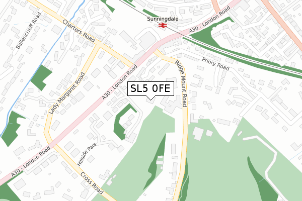
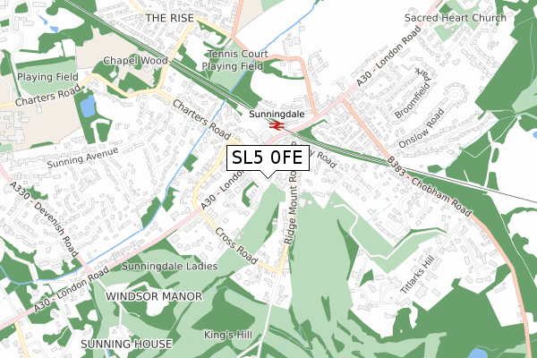
SL5 0FE is located in the Sunningdale & Cheapside electoral ward, within the unitary authority of Windsor and Maidenhead and the English Parliamentary constituency of Windsor. The Sub Integrated Care Board (ICB) Location is NHS Frimley ICB - D4U1Y and the police force is Thames Valley. This postcode has been in use since December 2017.


GetTheData
Source: OS Open Zoomstack (Ordnance Survey)
Licence: Open Government Licence (requires attribution)
Attribution: Contains OS data © Crown copyright and database right 2025
Source: Open Postcode Geo
Licence: Open Government Licence (requires attribution)
Attribution: Contains OS data © Crown copyright and database right 2025; Contains Royal Mail data © Royal Mail copyright and database right 2025; Source: Office for National Statistics licensed under the Open Government Licence v.3.0
| Easting | 495177 |
| Northing | 166522 |
| Latitude | 51.389768 |
| Longitude | -0.633504 |
GetTheData
Source: Open Postcode Geo
Licence: Open Government Licence
| Country | England |
| Postcode District | SL5 |
➜ See where SL5 is on a map ➜ Where is Broomhall? | |
GetTheData
Source: Land Registry Price Paid Data
Licence: Open Government Licence
| Ward | Sunningdale & Cheapside |
| Constituency | Windsor |
GetTheData
Source: ONS Postcode Database
Licence: Open Government Licence
| Charters Road | Sunningdale | 150m |
| Sunningdale Railway Station (London Road) | Sunningdale | 196m |
| Sunningdale Railway Station (London Road) | Sunningdale | 196m |
| Sunningdale Railway Station (Station Forecourt) | Sunningdale | 230m |
| Broomhall Lane | Sunningdale | 372m |
| Sunningdale Station | 0.2km |
| Longcross Station | 2.8km |
| Ascot Station | 3.5km |
GetTheData
Source: NaPTAN
Licence: Open Government Licence
| Percentage of properties with Next Generation Access | 100.0% |
| Percentage of properties with Superfast Broadband | 100.0% |
| Percentage of properties with Ultrafast Broadband | 0.0% |
| Percentage of properties with Full Fibre Broadband | 0.0% |
Superfast Broadband is between 30Mbps and 300Mbps
Ultrafast Broadband is > 300Mbps
| Percentage of properties unable to receive 2Mbps | 0.0% |
| Percentage of properties unable to receive 5Mbps | 0.0% |
| Percentage of properties unable to receive 10Mbps | 0.0% |
| Percentage of properties unable to receive 30Mbps | 0.0% |
GetTheData
Source: Ofcom
Licence: Ofcom Terms of Use (requires attribution)
GetTheData
Source: ONS Postcode Database
Licence: Open Government Licence


➜ Get more ratings from the Food Standards Agency
GetTheData
Source: Food Standards Agency
Licence: FSA terms & conditions
| Last Collection | |||
|---|---|---|---|
| Location | Mon-Fri | Sat | Distance |
| Ridgemount Road | 17:30 | 11:30 | 49m |
| Waitrose London Road | 16:45 | 11:30 | 245m |
| Westwood Road | 16:45 | 08:15 | 401m |
GetTheData
Source: Dracos
Licence: Creative Commons Attribution-ShareAlike
The below table lists the International Territorial Level (ITL) codes (formerly Nomenclature of Territorial Units for Statistics (NUTS) codes) and Local Administrative Units (LAU) codes for SL5 0FE:
| ITL 1 Code | Name |
|---|---|
| TLJ | South East (England) |
| ITL 2 Code | Name |
| TLJ1 | Berkshire, Buckinghamshire and Oxfordshire |
| ITL 3 Code | Name |
| TLJ11 | Berkshire |
| LAU 1 Code | Name |
| E06000040 | Windsor and Maidenhead |
GetTheData
Source: ONS Postcode Directory
Licence: Open Government Licence
The below table lists the Census Output Area (OA), Lower Layer Super Output Area (LSOA), and Middle Layer Super Output Area (MSOA) for SL5 0FE:
| Code | Name | |
|---|---|---|
| OA | E00083823 | |
| LSOA | E01016604 | Windsor and Maidenhead 018B |
| MSOA | E02003438 | Windsor and Maidenhead 018 |
GetTheData
Source: ONS Postcode Directory
Licence: Open Government Licence
| SL5 9RN | The Ridge | 92m |
| SL5 0EY | London Road | 98m |
| SL5 9SW | Abbey Wood | 101m |
| SL5 9RW | Ridgemount Road | 145m |
| SL5 0EZ | London Road | 152m |
| SL5 9SS | St James Gate | 172m |
| SL5 9SF | Ridgemount Road | 174m |
| SL5 9RJ | Priory Road | 195m |
| SL5 9RP | Hillside Park | 202m |
| SL5 9RL | Ridgemount Road | 207m |
GetTheData
Source: Open Postcode Geo; Land Registry Price Paid Data
Licence: Open Government Licence