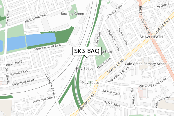
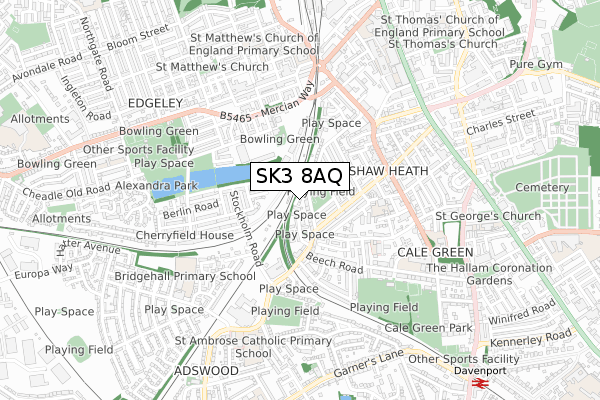
SK3 8AQ is located in the Davenport & Cale Green electoral ward, within the metropolitan district of Stockport and the English Parliamentary constituency of Stockport. The Sub Integrated Care Board (ICB) Location is NHS Greater Manchester ICB - 01W and the police force is Greater Manchester. This postcode has been in use since October 2019.


GetTheData
Source: OS Open Zoomstack (Ordnance Survey)
Licence: Open Government Licence (requires attribution)
Attribution: Contains OS data © Crown copyright and database right 2025
Source: Open Postcode Geo
Licence: Open Government Licence (requires attribution)
Attribution: Contains OS data © Crown copyright and database right 2025; Contains Royal Mail data © Royal Mail copyright and database right 2025; Source: Office for National Statistics licensed under the Open Government Licence v.3.0
| Easting | 389207 |
| Northing | 388998 |
| Latitude | 53.397714 |
| Longitude | -2.163779 |
GetTheData
Source: Open Postcode Geo
Licence: Open Government Licence
| Country | England |
| Postcode District | SK3 |
➜ See where SK3 is on a map ➜ Where is Stockport? | |
GetTheData
Source: Land Registry Price Paid Data
Licence: Open Government Licence
| Ward | Davenport & Cale Green |
| Constituency | Stockport |
GetTheData
Source: ONS Postcode Database
Licence: Open Government Licence
| Kimberley Street (Kimberley St) | Cale Green | 132m |
| Lowfield Road | Cale Green | 141m |
| Adswood Rd/Range Rd (Adswood Rd) | Cale Green | 166m |
| Adswood Rd/Range Rd (Adswood Rd) | Cale Green | 212m |
| Adswood Rd/Shaw Rd South (Adswood Rd) | Cale Green | 213m |
| Stockport Station | 0.9km |
| Davenport Station | 1km |
| Woodsmoor Station | 1.9km |
GetTheData
Source: NaPTAN
Licence: Open Government Licence
| Percentage of properties with Next Generation Access | 100.0% |
| Percentage of properties with Superfast Broadband | 100.0% |
| Percentage of properties with Ultrafast Broadband | 0.0% |
| Percentage of properties with Full Fibre Broadband | 0.0% |
Superfast Broadband is between 30Mbps and 300Mbps
Ultrafast Broadband is > 300Mbps
| Percentage of properties unable to receive 2Mbps | 0.0% |
| Percentage of properties unable to receive 5Mbps | 0.0% |
| Percentage of properties unable to receive 10Mbps | 0.0% |
| Percentage of properties unable to receive 30Mbps | 0.0% |
GetTheData
Source: Ofcom
Licence: Ofcom Terms of Use (requires attribution)
GetTheData
Source: ONS Postcode Database
Licence: Open Government Licence


➜ Get more ratings from the Food Standards Agency
GetTheData
Source: Food Standards Agency
Licence: FSA terms & conditions
| Last Collection | |||
|---|---|---|---|
| Location | Mon-Fri | Sat | Distance |
| Lowfield Road Tso | 17:30 | 12:15 | 206m |
| Berlin Road | 17:30 | 11:45 | 253m |
| Adswood Tso | 17:30 | 12:00 | 353m |
GetTheData
Source: Dracos
Licence: Creative Commons Attribution-ShareAlike
The below table lists the International Territorial Level (ITL) codes (formerly Nomenclature of Territorial Units for Statistics (NUTS) codes) and Local Administrative Units (LAU) codes for SK3 8AQ:
| ITL 1 Code | Name |
|---|---|
| TLD | North West (England) |
| ITL 2 Code | Name |
| TLD3 | Greater Manchester |
| ITL 3 Code | Name |
| TLD35 | Greater Manchester South East |
| LAU 1 Code | Name |
| E08000007 | Stockport |
GetTheData
Source: ONS Postcode Directory
Licence: Open Government Licence
The below table lists the Census Output Area (OA), Lower Layer Super Output Area (LSOA), and Middle Layer Super Output Area (MSOA) for SK3 8AQ:
| Code | Name | |
|---|---|---|
| OA | E00029187 | |
| LSOA | E01005760 | Stockport 023B |
| MSOA | E02001209 | Stockport 023 |
GetTheData
Source: ONS Postcode Directory
Licence: Open Government Licence
| SK3 8EE | Range Road | 39m |
| SK3 8EH | Abbeyfield Close | 97m |
| SK3 8ED | Menai Road | 114m |
| SK3 8EB | Kimberley Street | 142m |
| SK3 8JP | Lowfield Road | 162m |
| SK3 9QW | Derwen Road | 173m |
| SK3 8DZ | Ladysmith Street | 176m |
| SK3 8JN | Shaw Road South | 180m |
| SK3 9QP | Vienna Road East | 201m |
| SK3 8DY | Ladysmith Street | 201m |
GetTheData
Source: Open Postcode Geo; Land Registry Price Paid Data
Licence: Open Government Licence