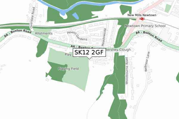
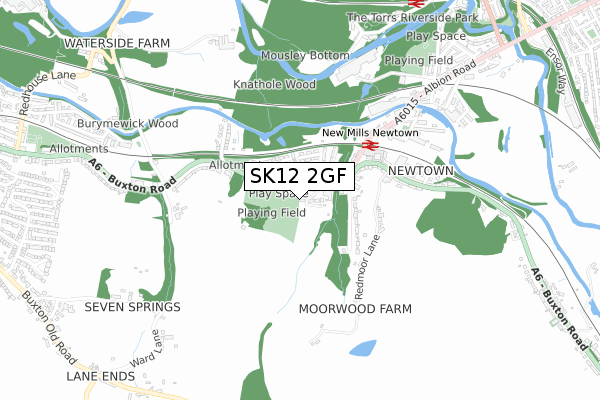
SK12 2GF is located in the Disley electoral ward, within the unitary authority of Cheshire East and the English Parliamentary constituency of Macclesfield. The Sub Integrated Care Board (ICB) Location is NHS Cheshire and Merseyside ICB - 27D and the police force is Cheshire. This postcode has been in use since December 2019.


GetTheData
Source: OS Open Zoomstack (Ordnance Survey)
Licence: Open Government Licence (requires attribution)
Attribution: Contains OS data © Crown copyright and database right 2025
Source: Open Postcode Geo
Licence: Open Government Licence (requires attribution)
Attribution: Contains OS data © Crown copyright and database right 2025; Contains Royal Mail data © Royal Mail copyright and database right 2025; Source: Office for National Statistics licensed under the Open Government Licence v.3.0
| Easting | 399246 |
| Northing | 384507 |
| Latitude | 53.357458 |
| Longitude | -2.012791 |
GetTheData
Source: Open Postcode Geo
Licence: Open Government Licence
| Country | England |
| Postcode District | SK12 |
➜ See where SK12 is on a map ➜ Where is New Mills? | |
GetTheData
Source: Land Registry Price Paid Data
Licence: Open Government Licence
| Ward | Disley |
| Constituency | Macclesfield |
GetTheData
Source: ONS Postcode Database
Licence: Open Government Licence
| Swan Hotel (Buxton Road) | Newtown | 92m |
| Swan Hotel (Buxton Road) | Newtown | 96m |
| Peveril Gardens (Buxton Road) | Newtown | 149m |
| Peveril Gardens (Buxton Road) | Newtown | 156m |
| Old Post Office (Albion Road) | Newtown | 274m |
| New Mills Newtown Station | 0.4km |
| New Mills Central Station | 0.9km |
| Furness Vale Station | 1.9km |
GetTheData
Source: NaPTAN
Licence: Open Government Licence
GetTheData
Source: ONS Postcode Database
Licence: Open Government Licence


➜ Get more ratings from the Food Standards Agency
GetTheData
Source: Food Standards Agency
Licence: FSA terms & conditions
| Last Collection | |||
|---|---|---|---|
| Location | Mon-Fri | Sat | Distance |
| Overdale Road | 17:15 | 08:30 | 378m |
| The Station | 18:00 | 11:45 | 437m |
| 7 Springs Garage | 17:15 | 07:00 | 777m |
GetTheData
Source: Dracos
Licence: Creative Commons Attribution-ShareAlike
The below table lists the International Territorial Level (ITL) codes (formerly Nomenclature of Territorial Units for Statistics (NUTS) codes) and Local Administrative Units (LAU) codes for SK12 2GF:
| ITL 1 Code | Name |
|---|---|
| TLD | North West (England) |
| ITL 2 Code | Name |
| TLD6 | Cheshire |
| ITL 3 Code | Name |
| TLD62 | Cheshire East |
| LAU 1 Code | Name |
| E06000049 | Cheshire East |
GetTheData
Source: ONS Postcode Directory
Licence: Open Government Licence
The below table lists the Census Output Area (OA), Lower Layer Super Output Area (LSOA), and Middle Layer Super Output Area (MSOA) for SK12 2GF:
| Code | Name | |
|---|---|---|
| OA | E00093793 | |
| LSOA | E01018586 | Cheshire East 001B |
| MSOA | E02003853 | Cheshire East 001 |
GetTheData
Source: ONS Postcode Directory
Licence: Open Government Licence
| SK12 2PY | Buxton Road | 45m |
| SK12 2RA | Buxton Road | 84m |
| SK12 2RF | Oak Avenue | 111m |
| SK12 2RG | Peveril Gardens | 170m |
| SK12 2RD | Meadowside | 180m |
| SK12 2RB | Oak Bank | 188m |
| SK12 2RN | Peveril Mews | 191m |
| SK12 2RE | Maple Avenue | 198m |
| SK22 3JX | Woodbourne Road | 239m |
| SK12 2RH | Buxton Road | 240m |
GetTheData
Source: Open Postcode Geo; Land Registry Price Paid Data
Licence: Open Government Licence