SG9 9SU maps, stats, and open data
SG9 9SU is located in the Buntingford electoral ward, within the local authority district of East Hertfordshire and the English Parliamentary constituency of North East Hertfordshire. The Sub Integrated Care Board (ICB) Location is NHS Hertfordshire and West Essex ICB - 06K and the police force is Hertfordshire. This postcode has been in use since April 2018.
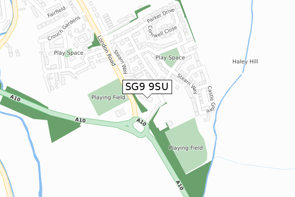
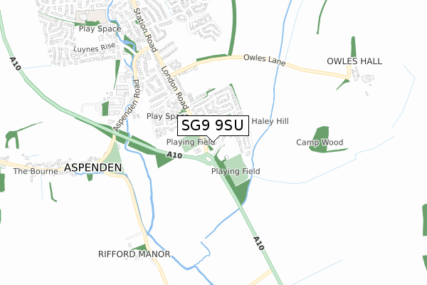
SG9 9SU maps


Licence: Open Government Licence (requires attribution)
Attribution: Contains OS data © Crown copyright and database right 2025
Source: Open Postcode Geo
Licence: Open Government Licence (requires attribution)
Attribution: Contains OS data © Crown copyright and database right 2025; Contains Royal Mail data © Royal Mail copyright and database right 2025; Source: Office for National Statistics licensed under the Open Government Licence v.3.0
SG9 9SU geodata
| Easting | 536851 |
| Northing | 228385 |
| Latitude | 51.937159 |
| Longitude | -0.010686 |
Where is SG9 9SU?
| Country | England |
| Postcode District | SG9 |
Politics
| Ward | Buntingford |
|---|---|
| Constituency | North East Hertfordshire |
Transport
Nearest bus stops to SG9 9SU
| Kingfisher Park (London Road) | Buntingford | 235m |
| Kingfisher Park (London Road) | Buntingford | 256m |
| Aspenden Road (Station Road) | Buntingford | 555m |
| Aspenden Road (Station Road) | Buntingford | 743m |
| Bridgefoot (Hare Street Road) | Buntingford | 1,006m |
Broadband
Broadband access in SG9 9SU (2020 data)
| Percentage of properties with Next Generation Access | 0.0% |
| Percentage of properties with Superfast Broadband | 0.0% |
| Percentage of properties with Ultrafast Broadband | 0.0% |
| Percentage of properties with Full Fibre Broadband | 0.0% |
Superfast Broadband is between 30Mbps and 300Mbps
Ultrafast Broadband is > 300Mbps
Broadband limitations in SG9 9SU (2020 data)
| Percentage of properties unable to receive 2Mbps | 0.0% |
| Percentage of properties unable to receive 5Mbps | 0.0% |
| Percentage of properties unable to receive 10Mbps | 0.0% |
| Percentage of properties unable to receive 30Mbps | 100.0% |
Deprivation
5.7% of English postcodes are less deprived than SG9 9SU:Food Standards Agency
Three nearest food hygiene ratings to SG9 9SU (metres)


➜ Get more ratings from the Food Standards Agency
Nearest post box to SG9 9SU
| Last Collection | |||
|---|---|---|---|
| Location | Mon-Fri | Sat | Distance |
| Layston Meadow | 17:00 | 09:30 | 600m |
| Aspenden | 16:45 | 08:00 | 911m |
| Sunny Hill | 17:15 | 07:15 | 1,005m |
SG9 9SU ITL and SG9 9SU LAU
The below table lists the International Territorial Level (ITL) codes (formerly Nomenclature of Territorial Units for Statistics (NUTS) codes) and Local Administrative Units (LAU) codes for SG9 9SU:
| ITL 1 Code | Name |
|---|---|
| TLH | East |
| ITL 2 Code | Name |
| TLH2 | Bedfordshire and Hertfordshire |
| ITL 3 Code | Name |
| TLH23 | Hertfordshire CC |
| LAU 1 Code | Name |
| E07000242 | East Hertfordshire |
SG9 9SU census areas
The below table lists the Census Output Area (OA), Lower Layer Super Output Area (LSOA), and Middle Layer Super Output Area (MSOA) for SG9 9SU:
| Code | Name | |
|---|---|---|
| OA | E00119179 | |
| LSOA | E01023464 | East Hertfordshire 001B |
| MSOA | E02004878 | East Hertfordshire 001 |
Nearest postcodes to SG9 9SU
| SG9 9JP | Windmill Hill | 280m |
| SG9 9JW | London Road | 288m |
| SG9 9FJ | Olvega Drive | 298m |
| SG9 9SH | St Francis Close | 306m |
| SG9 9FL | Crouch Gardens | 374m |
| SG9 9JN | London Road | 406m |
| SG9 9NU | Fairfield | 411m |
| SG9 9JA | Owles Lane | 444m |
| SG9 9NX | Fairfield | 458m |
| SG9 9NT | Fairfield | 501m |