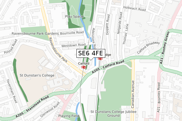
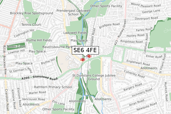
SE6 4FE is located in the Rushey Green electoral ward, within the London borough of Lewisham and the English Parliamentary constituency of Lewisham East. The Sub Integrated Care Board (ICB) Location is NHS South East London ICB - 72Q and the police force is Metropolitan Police. This postcode has been in use since May 2018.


GetTheData
Source: OS Open Zoomstack (Ordnance Survey)
Licence: Open Government Licence (requires attribution)
Attribution: Contains OS data © Crown copyright and database right 2025
Source: Open Postcode Geo
Licence: Open Government Licence (requires attribution)
Attribution: Contains OS data © Crown copyright and database right 2025; Contains Royal Mail data © Royal Mail copyright and database right 2025; Source: Office for National Statistics licensed under the Open Government Licence v.3.0
| Easting | 537304 |
| Northing | 173587 |
| Latitude | 51.444637 |
| Longitude | -0.025647 |
GetTheData
Source: Open Postcode Geo
Licence: Open Government Licence
| Country | England |
| Postcode District | SE6 |
➜ See where SE6 is on a map ➜ Where is Catford? | |
GetTheData
Source: Land Registry Price Paid Data
Licence: Open Government Licence
| Ward | Rushey Green |
| Constituency | Lewisham East |
GetTheData
Source: ONS Postcode Database
Licence: Open Government Licence
| Catford & Catford Bridge Stns (Catford Road) | Catford | 57m |
| Sussex Mews | Catford | 69m |
| Catford & Catford Bridge Stns | Catford | 111m |
| Catford Bridge (Doggett Road) | Catford | 111m |
| Catford & Catford Bridge Stns (Catford Road) | Catford | 117m |
| Catford Station | 0.1km |
| Catford Bridge Station | 0.1km |
| Ladywell Station | 1.4km |
GetTheData
Source: NaPTAN
Licence: Open Government Licence
| Percentage of properties with Next Generation Access | 100.0% |
| Percentage of properties with Superfast Broadband | 100.0% |
| Percentage of properties with Ultrafast Broadband | 100.0% |
| Percentage of properties with Full Fibre Broadband | 100.0% |
Superfast Broadband is between 30Mbps and 300Mbps
Ultrafast Broadband is > 300Mbps
| Percentage of properties unable to receive 2Mbps | 0.0% |
| Percentage of properties unable to receive 5Mbps | 0.0% |
| Percentage of properties unable to receive 10Mbps | 0.0% |
| Percentage of properties unable to receive 30Mbps | 0.0% |
GetTheData
Source: Ofcom
Licence: Ofcom Terms of Use (requires attribution)
GetTheData
Source: ONS Postcode Database
Licence: Open Government Licence


➜ Get more ratings from the Food Standards Agency
GetTheData
Source: Food Standards Agency
Licence: FSA terms & conditions
| Last Collection | |||
|---|---|---|---|
| Location | Mon-Fri | Sat | Distance |
| Catford Bridge | 17:30 | 12:00 | 125m |
| Ravensbourne Park | 17:30 | 12:00 | 223m |
| Canadian Avenue | 17:30 | 12:00 | 367m |
GetTheData
Source: Dracos
Licence: Creative Commons Attribution-ShareAlike
The below table lists the International Territorial Level (ITL) codes (formerly Nomenclature of Territorial Units for Statistics (NUTS) codes) and Local Administrative Units (LAU) codes for SE6 4FE:
| ITL 1 Code | Name |
|---|---|
| TLI | London |
| ITL 2 Code | Name |
| TLI4 | Inner London - East |
| ITL 3 Code | Name |
| TLI44 | Lewisham and Southwark |
| LAU 1 Code | Name |
| E09000023 | Lewisham |
GetTheData
Source: ONS Postcode Directory
Licence: Open Government Licence
The below table lists the Census Output Area (OA), Lower Layer Super Output Area (LSOA), and Middle Layer Super Output Area (MSOA) for SE6 4FE:
| Code | Name | |
|---|---|---|
| OA | E00016798 | |
| LSOA | E01003317 | Lewisham 020A |
| MSOA | E02000672 | Lewisham 020 |
GetTheData
Source: ONS Postcode Directory
Licence: Open Government Licence
| SE6 4BB | Renshaw Close | 68m |
| SE6 4RE | Station Approach | 81m |
| SE6 4XS | Ravensbourne Park | 108m |
| SE6 4XT | Ravensbourne Park | 109m |
| SE6 4UY | Sussex Mews | 118m |
| SE6 4XU | Ravensbourne Park | 129m |
| SE6 4PZ | Doggett Road | 130m |
| SE6 4QZ | Catford Road | 141m |
| SE6 4RL | Westdown Road | 144m |
| SE6 4XX | Ravensbourne Park | 149m |
GetTheData
Source: Open Postcode Geo; Land Registry Price Paid Data
Licence: Open Government Licence