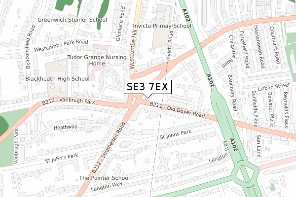
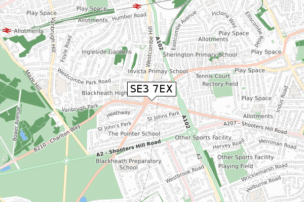
SE3 7EX is located in the Blackheath Westcombe electoral ward, within the London borough of Greenwich and the English Parliamentary constituency of Greenwich and Woolwich. The Sub Integrated Care Board (ICB) Location is NHS South East London ICB - 72Q and the police force is Metropolitan Police. This postcode has been in use since November 2018.


GetTheData
Source: OS Open Zoomstack (Ordnance Survey)
Licence: Open Government Licence (requires attribution)
Attribution: Contains OS data © Crown copyright and database right 2025
Source: Open Postcode Geo
Licence: Open Government Licence (requires attribution)
Attribution: Contains OS data © Crown copyright and database right 2025; Contains Royal Mail data © Royal Mail copyright and database right 2025; Source: Office for National Statistics licensed under the Open Government Licence v.3.0
| Easting | 540371 |
| Northing | 177290 |
| Latitude | 51.477161 |
| Longitude | 0.019924 |
GetTheData
Source: Open Postcode Geo
Licence: Open Government Licence
| Country | England |
| Postcode District | SE3 |
➜ See where SE3 is on a map ➜ Where is London? | |
GetTheData
Source: Land Registry Price Paid Data
Licence: Open Government Licence
| Ward | Blackheath Westcombe |
| Constituency | Greenwich And Woolwich |
GetTheData
Source: ONS Postcode Database
Licence: Open Government Licence
| Stratheden Road (Old Dover Road) | Kidbrooke | 28m |
| Stratheden Road (Old Dover Road) | Kidbrooke | 62m |
| Blackheath Royal Standard (Charlton Road) | Charlton | 71m |
| Blackheath Royal Standard | Charlton | 73m |
| Stratheden Parade (Stratheden Road) | Kidbrooke | 91m |
| Westcombe Park Station | 0.8km |
| Maze Hill Station | 1.3km |
| Charlton Station | 1.3km |
GetTheData
Source: NaPTAN
Licence: Open Government Licence
GetTheData
Source: ONS Postcode Database
Licence: Open Government Licence


➜ Get more ratings from the Food Standards Agency
GetTheData
Source: Food Standards Agency
Licence: FSA terms & conditions
| Last Collection | |||
|---|---|---|---|
| Location | Mon-Fri | Sat | Distance |
| 6 Statheden Parade | 17:30 | 12:00 | 47m |
| 20 Old Dover Road | 17:30 | 12:00 | 121m |
| Mycenae Road | 17:30 | 12:00 | 256m |
GetTheData
Source: Dracos
Licence: Creative Commons Attribution-ShareAlike
The below table lists the International Territorial Level (ITL) codes (formerly Nomenclature of Territorial Units for Statistics (NUTS) codes) and Local Administrative Units (LAU) codes for SE3 7EX:
| ITL 1 Code | Name |
|---|---|
| TLI | London |
| ITL 2 Code | Name |
| TLI5 | Outer London - East and North East |
| ITL 3 Code | Name |
| TLI51 | Bexley and Greenwich |
| LAU 1 Code | Name |
| E09000011 | Greenwich |
GetTheData
Source: ONS Postcode Directory
Licence: Open Government Licence
The below table lists the Census Output Area (OA), Lower Layer Super Output Area (LSOA), and Middle Layer Super Output Area (MSOA) for SE3 7EX:
| Code | Name | |
|---|---|---|
| OA | E00007877 | |
| LSOA | E01001581 | Greenwich 016A |
| MSOA | E02000328 | Greenwich 016 |
GetTheData
Source: ONS Postcode Directory
Licence: Open Government Licence
| SE3 7SX | Stratheden Parade | 61m |
| SE3 7EU | Charlton Road | 106m |
| SE3 7HB | Charlton Road | 108m |
| SE3 7DH | Westcombe Hill | 109m |
| SE3 7DB | Dornberg Close | 109m |
| SE3 7BT | Old Dover Road | 110m |
| SE3 7HG | Charlton Road | 111m |
| SE3 7AA | Vanbrugh Park | 115m |
| SE3 7JW | St Johns Park | 128m |
| SE3 7BE | Stratheden Road | 134m |
GetTheData
Source: Open Postcode Geo; Land Registry Price Paid Data
Licence: Open Government Licence