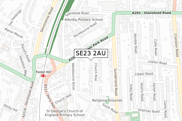
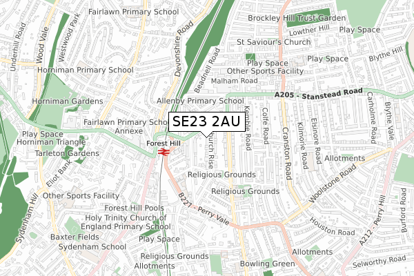
SE23 2AU is located in the Perry Vale electoral ward, within the London borough of Lewisham and the English Parliamentary constituency of Lewisham West and Penge. The Sub Integrated Care Board (ICB) Location is NHS South East London ICB - 72Q and the police force is Metropolitan Police. This postcode has been in use since March 2018.


GetTheData
Source: OS Open Zoomstack (Ordnance Survey)
Licence: Open Government Licence (requires attribution)
Attribution: Contains OS data © Crown copyright and database right 2025
Source: Open Postcode Geo
Licence: Open Government Licence (requires attribution)
Attribution: Contains OS data © Crown copyright and database right 2025; Contains Royal Mail data © Royal Mail copyright and database right 2025; Source: Office for National Statistics licensed under the Open Government Licence v.3.0
| Easting | 535678 |
| Northing | 173025 |
| Latitude | 51.439978 |
| Longitude | -0.049245 |
GetTheData
Source: Open Postcode Geo
Licence: Open Government Licence
| Country | England |
| Postcode District | SE23 |
➜ See where SE23 is on a map ➜ Where is London? | |
GetTheData
Source: Land Registry Price Paid Data
Licence: Open Government Licence
| Ward | Perry Vale |
| Constituency | Lewisham West And Penge |
GetTheData
Source: ONS Postcode Database
Licence: Open Government Licence
| Waldram Park Road | Forest Hill | 85m |
| Waldram Park Road | Forest Hill | 138m |
| Forest Hill Stn Waldram Cres | Forest Hill | 180m |
| Church Vale | Forest Hill | 303m |
| Forest Hill Stn Devonshire Rd (Devonshire Road) | Forest Hill | 311m |
| Forest Hill Station | 0.3km |
| Honor Oak Park Station | 1.1km |
| Sydenham Station | 1.5km |
GetTheData
Source: NaPTAN
Licence: Open Government Licence
| Percentage of properties with Next Generation Access | 100.0% |
| Percentage of properties with Superfast Broadband | 100.0% |
| Percentage of properties with Ultrafast Broadband | 100.0% |
| Percentage of properties with Full Fibre Broadband | 0.0% |
Superfast Broadband is between 30Mbps and 300Mbps
Ultrafast Broadband is > 300Mbps
| Median download speed | 18.5Mbps |
| Average download speed | 18.5Mbps |
| Maximum download speed | 20.51Mbps |
| Median upload speed | 1.2Mbps |
| Average upload speed | 1.2Mbps |
| Maximum upload speed | 1.25Mbps |
| Percentage of properties unable to receive 2Mbps | 0.0% |
| Percentage of properties unable to receive 5Mbps | 0.0% |
| Percentage of properties unable to receive 10Mbps | 0.0% |
| Percentage of properties unable to receive 30Mbps | 0.0% |
GetTheData
Source: Ofcom
Licence: Ofcom Terms of Use (requires attribution)
GetTheData
Source: ONS Postcode Database
Licence: Open Government Licence


➜ Get more ratings from the Food Standards Agency
GetTheData
Source: Food Standards Agency
Licence: FSA terms & conditions
| Last Collection | |||
|---|---|---|---|
| Location | Mon-Fri | Sat | Distance |
| Church Rise | 17:30 | 12:00 | 36m |
| Waldram Park Road | 17:30 | 12:00 | 109m |
| Sunderland Road | 17:30 | 12:00 | 269m |
GetTheData
Source: Dracos
Licence: Creative Commons Attribution-ShareAlike
The below table lists the International Territorial Level (ITL) codes (formerly Nomenclature of Territorial Units for Statistics (NUTS) codes) and Local Administrative Units (LAU) codes for SE23 2AU:
| ITL 1 Code | Name |
|---|---|
| TLI | London |
| ITL 2 Code | Name |
| TLI4 | Inner London - East |
| ITL 3 Code | Name |
| TLI44 | Lewisham and Southwark |
| LAU 1 Code | Name |
| E09000023 | Lewisham |
GetTheData
Source: ONS Postcode Directory
Licence: Open Government Licence
The below table lists the Census Output Area (OA), Lower Layer Super Output Area (LSOA), and Middle Layer Super Output Area (MSOA) for SE23 2AU:
| Code | Name | |
|---|---|---|
| OA | E00016735 | |
| LSOA | E01003315 | Lewisham 024D |
| MSOA | E02000676 | Lewisham 024 |
GetTheData
Source: ONS Postcode Directory
Licence: Open Government Licence
| SE23 2PN | Waldram Park Road | 51m |
| SE23 2UD | Church Rise | 95m |
| SE23 2PW | Waldram Park Road | 109m |
| SE23 2QA | Sunderland Road | 114m |
| SE23 2DG | Montrose Way | 125m |
| SE23 2ND | Westbourne Terrace | 127m |
| SE23 2PL | Waldram Park Road | 145m |
| SE23 2DD | Rockbourne Road | 154m |
| SE23 2UP | Westbourne Drive | 156m |
| SE23 2PS | Sunderland Road | 161m |
GetTheData
Source: Open Postcode Geo; Land Registry Price Paid Data
Licence: Open Government Licence