Property/Postcode Data Search:
SA7 9GL maps, stats, and open data
SA7 9GL is located in the Llansamlet electoral ward, within the unitary authority of Swansea and the Welsh Parliamentary constituency of Swansea East. The Local Health Board is Swansea Bay University and the police force is South Wales. This postcode has been in use since November 2019.
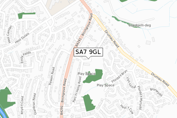
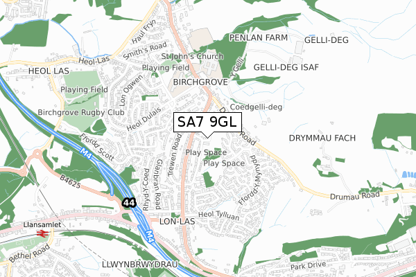
SA7 9GL maps


Source: OS Open Zoomstack (Ordnance Survey)
Licence: Open Government Licence (requires attribution)
Attribution: Contains OS data © Crown copyright and database right 2025
Source: Open Postcode Geo
Licence: Open Government Licence (requires attribution)
Attribution: Contains OS data © Crown copyright and database right 2025; Contains Royal Mail data © Royal Mail copyright and database right 2025; Source: Office for National Statistics licensed under the Open Government Licence v.3.0
Licence: Open Government Licence (requires attribution)
Attribution: Contains OS data © Crown copyright and database right 2025
Source: Open Postcode Geo
Licence: Open Government Licence (requires attribution)
Attribution: Contains OS data © Crown copyright and database right 2025; Contains Royal Mail data © Royal Mail copyright and database right 2025; Source: Office for National Statistics licensed under the Open Government Licence v.3.0
SA7 9GL geodata
| Easting | 270636 |
| Northing | 198104 |
| Latitude | 51.666782 |
| Longitude | -3.871963 |
Where is SA7 9GL?
| Country | Wales |
| Postcode District | SA7 |
Politics
| Ward | Llansamlet |
|---|---|
| Constituency | Swansea East |
Transport
Nearest bus stops to SA7 9GL
| Birchgrove Road | Birchgrove | 100m |
| Birchgrove Road | Birchgrove | 106m |
| Birchgrove Stores (Birchgrove Road) | Birchgrove | 268m |
| Ffordd-y-mynydd Upper (Ffordd-y-mynydd) | Birchgrove | 296m |
| Birchgrove Stores (Birchgrove Road) | Birchgrove | 298m |
Nearest railway stations to SA7 9GL
| Llansamlet Station | 1.1km |
| Skewen Station | 1.9km |
| Neath Station | 4.5km |
Deprivation
91.3% of Welsh postcodes are less deprived than SA7 9GL:Food Standards Agency
Three nearest food hygiene ratings to SA7 9GL (metres)
Tonys Off Sales

220 Birchgrove Road
118m
Birchgrove Dairy

188 Birchgrove Road
180m
Pooja Stores

116 Birchgrove Road
180m
➜ Get more ratings from the Food Standards Agency
Nearest post box to SA7 9GL
| Last Collection | |||
|---|---|---|---|
| Location | Mon-Fri | Sat | Distance |
| Heron Drive | 18:30 | 944m | |
| Herbert Thomas Way | 17:00 | 12:30 | 1,686m |
| Tescos Stores Ltd | 18:30 | 12:45 | 2,269m |
SA7 9GL ITL and SA7 9GL LAU
The below table lists the International Territorial Level (ITL) codes (formerly Nomenclature of Territorial Units for Statistics (NUTS) codes) and Local Administrative Units (LAU) codes for SA7 9GL:
| ITL 1 Code | Name |
|---|---|
| TLL | Wales |
| ITL 2 Code | Name |
| TLL1 | West Wales and The Valleys |
| ITL 3 Code | Name |
| TLL18 | Swansea |
| LAU 1 Code | Name |
| W06000011 | Swansea |
SA7 9GL census areas
The below table lists the Census Output Area (OA), Lower Layer Super Output Area (LSOA), and Middle Layer Super Output Area (MSOA) for SA7 9GL:
| Code | Name | |
|---|---|---|
| OA | W00004264 | |
| LSOA | W01000801 | Swansea 006D |
| MSOA | W02000173 | Swansea 006 |
Nearest postcodes to SA7 9GL
| SA7 9PS | Llys Y Waun | 93m |
| SA7 9PL | Parc Yr Helig Road | 96m |
| SA7 9JU | Birchgrove Road | 118m |
| SA7 9QB | Greys Terrace | 132m |
| SA7 9PT | Cwrt Y Fedw | 140m |
| SA7 9PP | Cwrt Isaf | 155m |
| SA7 9JT | Birchgrove Road | 180m |
| SA7 9PJ | Trewen Road | 183m |
| SA7 9PR | Llys Y Coed | 184m |
| SA7 9QA | Drumau Road | 197m |