SA62 6FD maps, stats, and open data
SA62 6FD is located in the Solva electoral ward, within the unitary authority of Pembrokeshire and the Welsh Parliamentary constituency of Preseli Pembrokeshire. The Local Health Board is Hywel Dda University and the police force is Dyfed-Powys. This postcode has been in use since February 2019.
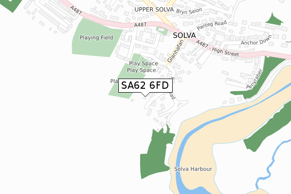
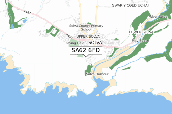
SA62 6FD maps


Licence: Open Government Licence (requires attribution)
Attribution: Contains OS data © Crown copyright and database right 2025
Source: Open Postcode Geo
Licence: Open Government Licence (requires attribution)
Attribution: Contains OS data © Crown copyright and database right 2025; Contains Royal Mail data © Royal Mail copyright and database right 2025; Source: Office for National Statistics licensed under the Open Government Licence v.3.0
SA62 6FD geodata
| Easting | 179875 |
| Northing | 224126 |
| Latitude | 51.872169 |
| Longitude | -5.199097 |
Where is SA62 6FD?
| Country | Wales |
| Postcode District | SA62 |
Politics
| Ward | Solva |
|---|---|
| Constituency | Preseli Pembrokeshire |
Transport
Nearest bus stops to SA62 6FD
| Hall (High Street) | Solva | 250m |
| Hall (High Street) | Solva | 272m |
| Minimarket (A487) | Upper Solva | 333m |
| Minimarket (A487) | Upper Solva | 345m |
| Solva Pottery (Main Street) | Lower Solva | 842m |
Broadband
Broadband access in SA62 6FD (2020 data)
| Percentage of properties with Next Generation Access | 100.0% |
| Percentage of properties with Superfast Broadband | 0.0% |
| Percentage of properties with Ultrafast Broadband | 0.0% |
| Percentage of properties with Full Fibre Broadband | 0.0% |
Superfast Broadband is between 30Mbps and 300Mbps
Ultrafast Broadband is > 300Mbps
Broadband limitations in SA62 6FD (2020 data)
| Percentage of properties unable to receive 2Mbps | 0.0% |
| Percentage of properties unable to receive 5Mbps | 0.0% |
| Percentage of properties unable to receive 10Mbps | 0.0% |
| Percentage of properties unable to receive 30Mbps | 100.0% |
Deprivation
36.4% of Welsh postcodes are less deprived than SA62 6FD:Food Standards Agency
Three nearest food hygiene ratings to SA62 6FD (metres)


➜ Get more ratings from the Food Standards Agency
Nearest post box to SA62 6FD
| Last Collection | |||
|---|---|---|---|
| Location | Mon-Fri | Sat | Distance |
| Solva P O | 16:15 | 12:00 | 434m |
| Whitchurch | 12:00 | 12:00 | 1,327m |
| High St | 12:30 | 12:30 | 4,434m |
SA62 6FD ITL and SA62 6FD LAU
The below table lists the International Territorial Level (ITL) codes (formerly Nomenclature of Territorial Units for Statistics (NUTS) codes) and Local Administrative Units (LAU) codes for SA62 6FD:
| ITL 1 Code | Name |
|---|---|
| TLL | Wales |
| ITL 2 Code | Name |
| TLL1 | West Wales and The Valleys |
| ITL 3 Code | Name |
| TLL14 | South West Wales |
| LAU 1 Code | Name |
| W06000009 | Pembrokeshire |
SA62 6FD census areas
The below table lists the Census Output Area (OA), Lower Layer Super Output Area (LSOA), and Middle Layer Super Output Area (MSOA) for SA62 6FD:
| Code | Name | |
|---|---|---|
| OA | W00003321 | |
| LSOA | W01000618 | Pembrokeshire 003D |
| MSOA | W02000128 | Pembrokeshire 003 |
Nearest postcodes to SA62 6FD
| SA62 6TG | 74m | |
| SA62 6TB | St Brides View | 110m |
| SA62 6TA | Glanhafan | 142m |
| SA62 6TH | Chapel Lane | 211m |
| SA62 6TJ | Portland Square | 232m |
| SA62 6TE | High Street | 281m |
| SA62 6TX | Maes Ewan | 300m |
| SA62 6TT | Pwll Melyn | 304m |
| SA62 6TS | 323m | |
| SA62 6UR | Pen Yr Aber | 342m |