SA15 5TS maps, stats, and open data
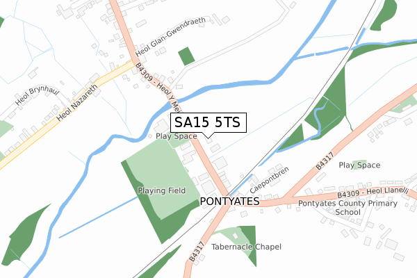
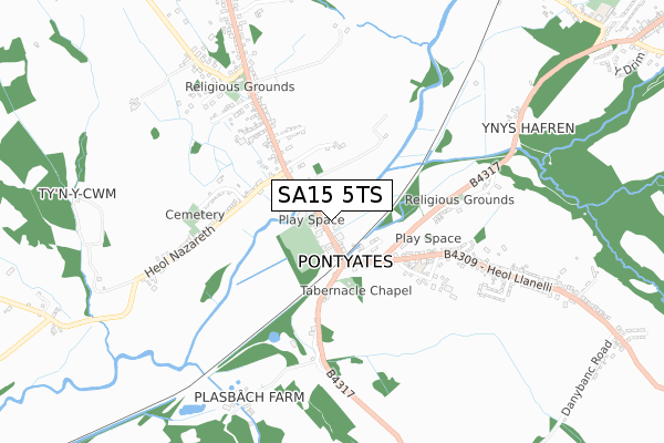
SA15 5TS is located in the Llangyndeyrn electoral ward, within the unitary authority of Carmarthenshire and the Welsh Parliamentary constituency of Carmarthen East and Dinefwr. The Local Health Board is Hywel Dda University and the police force is Dyfed-Powys. This postcode has been in use since February 2019.
SA15 5TS maps


Licence: Open Government Licence (requires attribution)
Attribution: Contains OS data © Crown copyright and database right 2025
Source: Open Postcode Geo
Licence: Open Government Licence (requires attribution)
Attribution: Contains OS data © Crown copyright and database right 2025; Contains Royal Mail data © Royal Mail copyright and database right 2025; Source: Office for National Statistics licensed under the Open Government Licence v.3.0
SA15 5TS geodata
| Easting | 246861 |
| Northing | 208497 |
| Latitude | 51.754178 |
| Longitude | -4.220059 |
Where is SA15 5TS?
| Country | Wales |
| Postcode District | SA15 |
Politics
| Ward | Llangyndeyrn |
|---|---|
| Constituency | Carmarthen East And Dinefwr |
House Prices
Sales of detached houses in SA15 5TS
2, CLOS Y DWR, PONTYATES, LLANELLI, SA15 5TS 2020 14 DEC £149,995 |
3, CLOS Y DWR, PONTYATES, LLANELLI, SA15 5TS 2018 21 DEC £176,495 |
Licence: Contains HM Land Registry data © Crown copyright and database right 2025. This data is licensed under the Open Government Licence v3.0.
Transport
Nearest bus stops to SA15 5TS
| Post Office (Heol Y Meinciau) | Pontyates | 92m |
| Post Office (Heol Y Meinciau) | Pontyates | 109m |
| Rugby Club (Heol Y Meinciau) | Pontyates | 230m |
| Rugby Club (Meinciau Road) | Pontyates | 240m |
| Rhwyth Inn (B4317) | Pontyates | 329m |
Broadband
Broadband access in SA15 5TS (2020 data)
| Percentage of properties with Next Generation Access | 100.0% |
| Percentage of properties with Superfast Broadband | 100.0% |
| Percentage of properties with Ultrafast Broadband | 0.0% |
| Percentage of properties with Full Fibre Broadband | 0.0% |
Superfast Broadband is between 30Mbps and 300Mbps
Ultrafast Broadband is > 300Mbps
Broadband limitations in SA15 5TS (2020 data)
| Percentage of properties unable to receive 2Mbps | 0.0% |
| Percentage of properties unable to receive 5Mbps | 0.0% |
| Percentage of properties unable to receive 10Mbps | 0.0% |
| Percentage of properties unable to receive 30Mbps | 0.0% |
Deprivation
73.9% of Welsh postcodes are less deprived than SA15 5TS:Food Standards Agency
Three nearest food hygiene ratings to SA15 5TS (metres)


➜ Get more ratings from the Food Standards Agency
Nearest post box to SA15 5TS
| Last Collection | |||
|---|---|---|---|
| Location | Mon-Fri | Sat | Distance |
| Five Roads Post Office | 15:45 | 11:30 | 3,596m |
| Horeb | 09:00 | 07:45 | 4,023m |
| Bancffosfelin Post Office | 16:00 | 11:15 | 4,031m |
SA15 5TS ITL and SA15 5TS LAU
The below table lists the International Territorial Level (ITL) codes (formerly Nomenclature of Territorial Units for Statistics (NUTS) codes) and Local Administrative Units (LAU) codes for SA15 5TS:
| ITL 1 Code | Name |
|---|---|
| TLL | Wales |
| ITL 2 Code | Name |
| TLL1 | West Wales and The Valleys |
| ITL 3 Code | Name |
| TLL14 | South West Wales |
| LAU 1 Code | Name |
| W06000010 | Carmarthenshire |
SA15 5TS census areas
The below table lists the Census Output Area (OA), Lower Layer Super Output Area (LSOA), and Middle Layer Super Output Area (MSOA) for SA15 5TS:
| Code | Name | |
|---|---|---|
| OA | W00003739 | |
| LSOA | W01000695 | Carmarthenshire 012B |
| MSOA | W02000153 | Carmarthenshire 012 |
Nearest postcodes to SA15 5TS
| SA15 5TR | Heol Y Meinciau | 187m |
| SA15 5RU | Heol Wepner | 238m |
| SA15 5TD | Heol Brynhaul | 278m |
| SA15 5RY | Dwynant | 282m |
| SA15 5RT | Heol Y Meinciau | 290m |
| SA15 5TB | Heol Nazareth | 307m |
| SA15 5TX | Caepontbren | 356m |
| SA15 5TU | Heol Llanelli | 373m |
| SA15 5SA | Heol Bancyroffis | 399m |
| SA15 5UU | 423m |