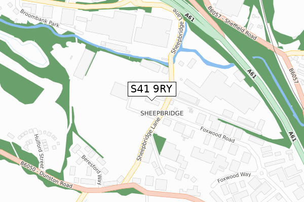
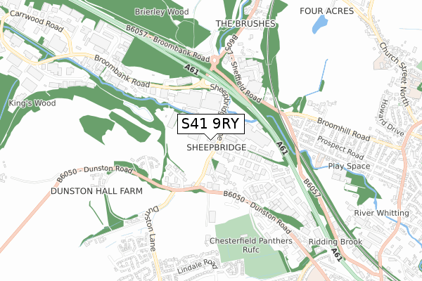
S41 9RY is located in the Dunston electoral ward, within the local authority district of Chesterfield and the English Parliamentary constituency of Chesterfield. The Sub Integrated Care Board (ICB) Location is NHS Derby and Derbyshire ICB - 15M and the police force is Derbyshire. This postcode has been in use since July 2018.


GetTheData
Source: OS Open Zoomstack (Ordnance Survey)
Licence: Open Government Licence (requires attribution)
Attribution: Contains OS data © Crown copyright and database right 2025
Source: Open Postcode Geo
Licence: Open Government Licence (requires attribution)
Attribution: Contains OS data © Crown copyright and database right 2025; Contains Royal Mail data © Royal Mail copyright and database right 2025; Source: Office for National Statistics licensed under the Open Government Licence v.3.0
| Easting | 437178 |
| Northing | 374799 |
| Latitude | 53.268904 |
| Longitude | -1.444020 |
GetTheData
Source: Open Postcode Geo
Licence: Open Government Licence
| Country | England |
| Postcode District | S41 |
➜ See where S41 is on a map ➜ Where is Chesterfield? | |
GetTheData
Source: Land Registry Price Paid Data
Licence: Open Government Licence
| Ward | Dunston |
| Constituency | Chesterfield |
GetTheData
Source: ONS Postcode Database
Licence: Open Government Licence
| Foxwood Road (Sheepbridge Lane) | Sheepbridge | 43m |
| Foxwood Road (Sheepbridge Lane) | Sheepbridge | 74m |
| Endeavour Training (Sheepbridge Lane) | Sheepbridge | 191m |
| Endeavour Training (Sheepbridge Lane) | Sheepbridge | 218m |
| Dunston House (Dunston Road) | Sheepbridge | 321m |
| Chesterfield Station | 3.8km |
| Dronfield Station | 4km |
GetTheData
Source: NaPTAN
Licence: Open Government Licence
GetTheData
Source: ONS Postcode Database
Licence: Open Government Licence


➜ Get more ratings from the Food Standards Agency
GetTheData
Source: Food Standards Agency
Licence: FSA terms & conditions
| Last Collection | |||
|---|---|---|---|
| Location | Mon-Fri | Sat | Distance |
| Foxwood Road | 16:00 | 11:00 | 65m |
| Broombank Road | 16:00 | 11:00 | 417m |
| Broombank Road | 419m | ||
GetTheData
Source: Dracos
Licence: Creative Commons Attribution-ShareAlike
The below table lists the International Territorial Level (ITL) codes (formerly Nomenclature of Territorial Units for Statistics (NUTS) codes) and Local Administrative Units (LAU) codes for S41 9RY:
| ITL 1 Code | Name |
|---|---|
| TLF | East Midlands (England) |
| ITL 2 Code | Name |
| TLF1 | Derbyshire and Nottinghamshire |
| ITL 3 Code | Name |
| TLF12 | East Derbyshire |
| LAU 1 Code | Name |
| E07000034 | Chesterfield |
GetTheData
Source: ONS Postcode Directory
Licence: Open Government Licence
The below table lists the Census Output Area (OA), Lower Layer Super Output Area (LSOA), and Middle Layer Super Output Area (MSOA) for S41 9RY:
| Code | Name | |
|---|---|---|
| OA | E00098831 | |
| LSOA | E01019543 | Chesterfield 004C |
| MSOA | E02004058 | Chesterfield 004 |
GetTheData
Source: ONS Postcode Directory
Licence: Open Government Licence
| S41 9QD | Sheepbridge Works | 273m |
| S41 9RA | Foxwood Way | 296m |
| S41 9FG | Beresford Way | 303m |
| S41 9RF | Dunston Trading Estate | 305m |
| S41 9ED | Carlisle Close | 416m |
| S41 9DX | Sheffield Road | 478m |
| S41 9DU | Prospect Road | 512m |
| S41 9EB | Broomhill Road | 549m |
| S41 9HH | Holland Road | 554m |
| S41 9DT | William Street North | 556m |
GetTheData
Source: Open Postcode Geo; Land Registry Price Paid Data
Licence: Open Government Licence