Property/Postcode Data Search:
S40 1GA maps, stats, and open data
S40 1GA is located in the Brampton East & Boythorpe electoral ward, within the local authority district of Chesterfield and the English Parliamentary constituency of Chesterfield. The Sub Integrated Care Board (ICB) Location is NHS Derby and Derbyshire ICB - 15M and the police force is Derbyshire. This postcode has been in use since November 2019.
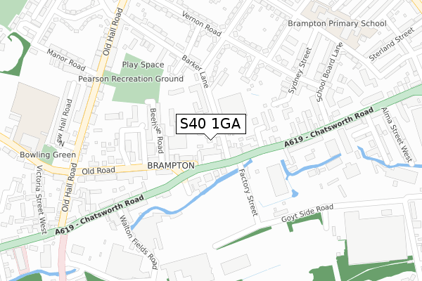
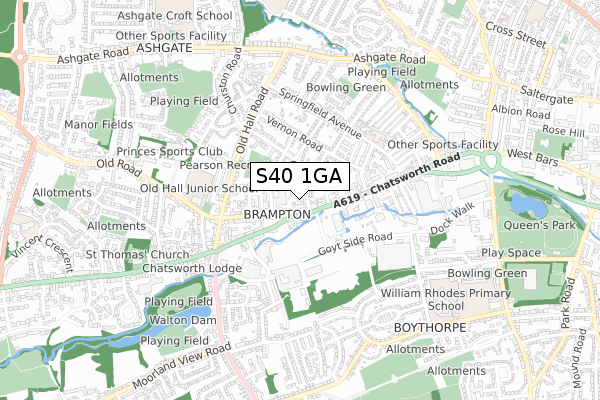
S40 1GA maps


Source: OS Open Zoomstack (Ordnance Survey)
Licence: Open Government Licence (requires attribution)
Attribution: Contains OS data © Crown copyright and database right 2025
Source: Open Postcode Geo
Licence: Open Government Licence (requires attribution)
Attribution: Contains OS data © Crown copyright and database right 2025; Contains Royal Mail data © Royal Mail copyright and database right 2025; Source: Office for National Statistics licensed under the Open Government Licence v.3.0
Licence: Open Government Licence (requires attribution)
Attribution: Contains OS data © Crown copyright and database right 2025
Source: Open Postcode Geo
Licence: Open Government Licence (requires attribution)
Attribution: Contains OS data © Crown copyright and database right 2025; Contains Royal Mail data © Royal Mail copyright and database right 2025; Source: Office for National Statistics licensed under the Open Government Licence v.3.0
S40 1GA geodata
| Easting | 436883 |
| Northing | 370912 |
| Latitude | 53.233987 |
| Longitude | -1.448892 |
Where is S40 1GA?
| Country | England |
| Postcode District | S40 |
Politics
| Ward | Brampton East & Boythorpe |
|---|---|
| Constituency | Chesterfield |
Transport
Nearest bus stops to S40 1GA
| Barker Lane (Chatsworth Road) | Brampton | 92m |
| Barker Lane (Chatsworth Road) | Brampton | 92m |
| Beehive Road (Old Road) | Brampton | 133m |
| Welfare Avenue South (Welfare Avenue) | Brampton | 182m |
| Tramway Tavern (Chatsworth Road) | Brampton | 268m |
Nearest railway stations to S40 1GA
| Chesterfield Station | 2km |
Deprivation
73% of English postcodes are less deprived than S40 1GA:Food Standards Agency
Three nearest food hygiene ratings to S40 1GA (metres)
Deja Vu

19 Old Road
30m
Petite Maison

21 Old Road
45m
Lovely Catering Company

255b Chatsworth Road
59m
➜ Get more ratings from the Food Standards Agency
Nearest post box to S40 1GA
| Last Collection | |||
|---|---|---|---|
| Location | Mon-Fri | Sat | Distance |
| New Brampton Post Office | 17:15 | 11:00 | 52m |
| Chatsworth Road Post Office | 16:15 | 11:30 | 71m |
| 160 Chatsworth Road | 16:45 | 11:00 | 311m |
S40 1GA ITL and S40 1GA LAU
The below table lists the International Territorial Level (ITL) codes (formerly Nomenclature of Territorial Units for Statistics (NUTS) codes) and Local Administrative Units (LAU) codes for S40 1GA:
| ITL 1 Code | Name |
|---|---|
| TLF | East Midlands (England) |
| ITL 2 Code | Name |
| TLF1 | Derbyshire and Nottinghamshire |
| ITL 3 Code | Name |
| TLF12 | East Derbyshire |
| LAU 1 Code | Name |
| E07000034 | Chesterfield |
S40 1GA census areas
The below table lists the Census Output Area (OA), Lower Layer Super Output Area (LSOA), and Middle Layer Super Output Area (MSOA) for S40 1GA:
| Code | Name | |
|---|---|---|
| OA | E00098908 | |
| LSOA | E01019554 | Chesterfield 010B |
| MSOA | E02004064 | Chesterfield 010 |
Nearest postcodes to S40 1GA
| S40 1DZ | South Place | 29m |
| S40 2RF | Marsden Place | 30m |
| S40 1EA | Halls Row | 43m |
| S40 2RE | Old Road | 55m |
| S40 1DU | Barker Lane | 85m |
| S40 2BL | Chatsworth Road | 85m |
| S40 2QZ | Old Road | 132m |
| S40 1EB | Welshpool Place | 149m |
| S40 2RB | Shaws Row | 150m |
| S40 2RD | Beehive Road | 157m |