S36 8AH maps, stats, and open data
S36 8AH is located in the Penistone West electoral ward, within the metropolitan district of Barnsley and the English Parliamentary constituency of Penistone and Stocksbridge. The Sub Integrated Care Board (ICB) Location is NHS South Yorkshire ICB - 02P and the police force is South Yorkshire. This postcode has been in use since October 2017.
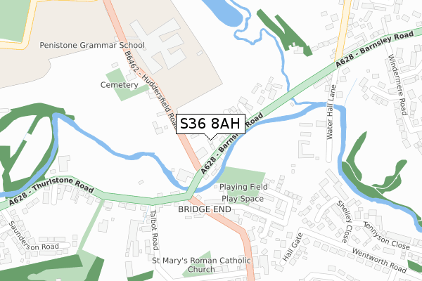
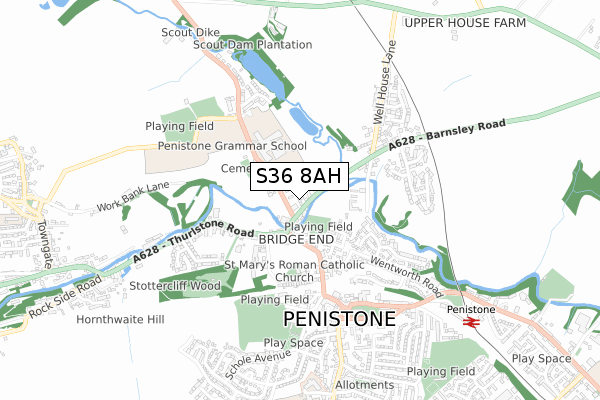
S36 8AH maps


Licence: Open Government Licence (requires attribution)
Attribution: Contains OS data © Crown copyright and database right 2025
Source: Open Postcode Geo
Licence: Open Government Licence (requires attribution)
Attribution: Contains OS data © Crown copyright and database right 2025; Contains Royal Mail data © Royal Mail copyright and database right 2025; Source: Office for National Statistics licensed under the Open Government Licence v.3.0
S36 8AH geodata
| Easting | 424407 |
| Northing | 403780 |
| Latitude | 53.530134 |
| Longitude | -1.633271 |
Where is S36 8AH?
| Country | England |
| Postcode District | S36 |
Politics
| Ward | Penistone West |
|---|---|
| Constituency | Penistone And Stocksbridge |
House Prices
Sales of detached houses in S36 8AH
2020 10 DEC £495,000 |
2020 31 JAN £432,500 |
2018 21 SEP £430,000 |
2017 30 DEC £494,999 |
2, WATERMILL MEWS, PENISTONE, SHEFFIELD, S36 8AH 2017 20 DEC £454,999 |
Licence: Contains HM Land Registry data © Crown copyright and database right 2025. This data is licensed under the Open Government Licence v3.0.
Transport
Nearest bus stops to S36 8AH
| Huddersfield Road (Barnsley Road) | Penistone | 112m |
| Barnsley Road (Huddersfield Road) | Penistone | 167m |
| Wentworth Road (Bridge Street) | Penistone | 183m |
| Talbot Road (Thurlstone Road) | Penistone | 199m |
| Talbot Road (Thurlstone Road) | Penistone | 210m |
Nearest railway stations to S36 8AH
| Penistone Station | 0.9km |
| Silkstone Common Station | 4.7km |
| Denby Dale Station | 5.1km |
Broadband
Broadband access in S36 8AH (2020 data)
| Percentage of properties with Next Generation Access | 100.0% |
| Percentage of properties with Superfast Broadband | 100.0% |
| Percentage of properties with Ultrafast Broadband | 100.0% |
| Percentage of properties with Full Fibre Broadband | 100.0% |
Superfast Broadband is between 30Mbps and 300Mbps
Ultrafast Broadband is > 300Mbps
Broadband limitations in S36 8AH (2020 data)
| Percentage of properties unable to receive 2Mbps | 0.0% |
| Percentage of properties unable to receive 5Mbps | 0.0% |
| Percentage of properties unable to receive 10Mbps | 0.0% |
| Percentage of properties unable to receive 30Mbps | 0.0% |
Deprivation
13.9% of English postcodes are less deprived than S36 8AH:Food Standards Agency
Three nearest food hygiene ratings to S36 8AH (metres)


➜ Get more ratings from the Food Standards Agency
Nearest post box to S36 8AH
| Last Collection | |||
|---|---|---|---|
| Location | Mon-Fri | Sat | Distance |
| 1 Wentworth Road | 16:00 | 09:15 | 137m |
| Windemere Road | 16:00 | 09:00 | 463m |
| Market Street | 17:30 | 10:30 | 548m |
S36 8AH ITL and S36 8AH LAU
The below table lists the International Territorial Level (ITL) codes (formerly Nomenclature of Territorial Units for Statistics (NUTS) codes) and Local Administrative Units (LAU) codes for S36 8AH:
| ITL 1 Code | Name |
|---|---|
| TLE | Yorkshire and The Humber |
| ITL 2 Code | Name |
| TLE3 | South Yorkshire |
| ITL 3 Code | Name |
| TLE31 | Barnsley, Doncaster and Rotherham |
| LAU 1 Code | Name |
| E08000016 | Barnsley |
S36 8AH census areas
The below table lists the Census Output Area (OA), Lower Layer Super Output Area (LSOA), and Middle Layer Super Output Area (MSOA) for S36 8AH:
| Code | Name | |
|---|---|---|
| OA | E00037651 | |
| LSOA | E01007425 | Barnsley 016D |
| MSOA | E02001524 | Barnsley 016 |
Nearest postcodes to S36 8AH
| S36 7AH | Bridge End | 112m |
| S36 6SW | Wentworth Meadows | 216m |
| S36 8EQ | Water Hall Lane | 226m |
| S36 7BU | Huddersfield Road | 243m |
| S36 6ET | Wentworth Road | 256m |
| S36 6GZ | Water Hall View | 260m |
| S36 6AJ | Bridge Street | 282m |
| S36 9EF | Thurlstone Road | 293m |
| S36 9ED | Talbot Road | 294m |
| S36 6GU | Keats Grove | 323m |