S36 2AU maps, stats, and open data
S36 2AU is located in the Stocksbridge and Upper Don electoral ward, within the metropolitan district of Sheffield and the English Parliamentary constituency of Penistone and Stocksbridge. The Sub Integrated Care Board (ICB) Location is NHS South Yorkshire ICB - 03N and the police force is South Yorkshire. This postcode has been in use since July 2018.
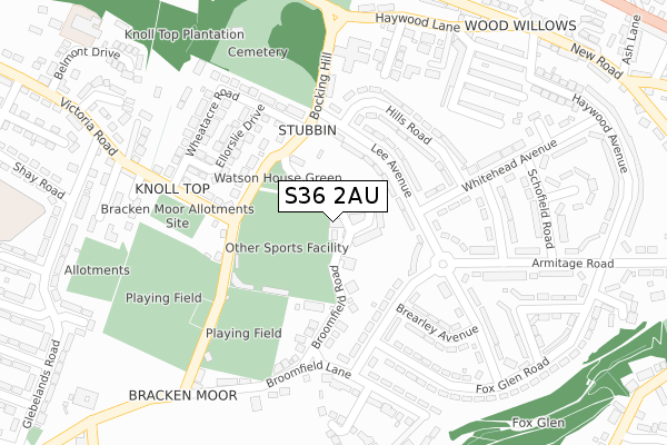
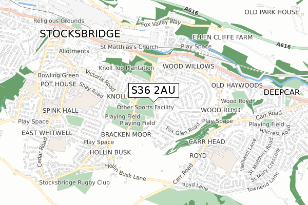
S36 2AU maps


Licence: Open Government Licence (requires attribution)
Attribution: Contains OS data © Crown copyright and database right 2025
Source: Open Postcode Geo
Licence: Open Government Licence (requires attribution)
Attribution: Contains OS data © Crown copyright and database right 2025; Contains Royal Mail data © Royal Mail copyright and database right 2025; Source: Office for National Statistics licensed under the Open Government Licence v.3.0
S36 2AU geodata
| Easting | 427586 |
| Northing | 397963 |
| Latitude | 53.477692 |
| Longitude | -1.585824 |
Where is S36 2AU?
| Country | England |
| Postcode District | S36 |
Politics
| Ward | Stocksbridge And Upper Don |
|---|---|
| Constituency | Penistone And Stocksbridge |
House Prices
Sales of detached houses in S36 2AU
2021 6 OCT £280,000 |
2019 4 JUN £265,000 |
THE WENTWORTH, 3, HORSLEY CROFT, STOCKSBRIDGE, SHEFFIELD, S36 2AU 2018 2 OCT £265,000 |
THE WHARNCLIFFE, 1, HORSLEY CROFT, STOCKSBRIDGE, SHEFFIELD, S36 2AU 2018 11 SEP £290,000 |
Licence: Contains HM Land Registry data © Crown copyright and database right 2025. This data is licensed under the Open Government Licence v3.0.
Transport
Nearest bus stops to S36 2AU
| Knowles Avenue (Lee Avenue) | Stocksbridge | 138m |
| Bocking Hill (Lee Avenue) | Stocksbridge | 138m |
| Hills Road (Lee Avenue) | Stocksbridge | 142m |
| Lee Avenue (Knowles Avenue) | Stocksbridge | 150m |
| Armitage Road (Lee Avenue) | Stocksbridge | 157m |
Broadband
Broadband access in S36 2AU (2020 data)
| Percentage of properties with Next Generation Access | 100.0% |
| Percentage of properties with Superfast Broadband | 66.7% |
| Percentage of properties with Ultrafast Broadband | 0.0% |
| Percentage of properties with Full Fibre Broadband | 0.0% |
Superfast Broadband is between 30Mbps and 300Mbps
Ultrafast Broadband is > 300Mbps
Broadband limitations in S36 2AU (2020 data)
| Percentage of properties unable to receive 2Mbps | 0.0% |
| Percentage of properties unable to receive 5Mbps | 0.0% |
| Percentage of properties unable to receive 10Mbps | 0.0% |
| Percentage of properties unable to receive 30Mbps | 33.3% |
Deprivation
65.2% of English postcodes are less deprived than S36 2AU:Food Standards Agency
Three nearest food hygiene ratings to S36 2AU (metres)


➜ Get more ratings from the Food Standards Agency
Nearest post box to S36 2AU
| Last Collection | |||
|---|---|---|---|
| Location | Mon-Fri | Sat | Distance |
| Lee Avenue | 18:15 | 08:30 | 141m |
| Bocking Hill | 18:15 | 08:30 | 155m |
| 48 Glebelands Road | 18:15 | 08:30 | 543m |
S36 2AU ITL and S36 2AU LAU
The below table lists the International Territorial Level (ITL) codes (formerly Nomenclature of Territorial Units for Statistics (NUTS) codes) and Local Administrative Units (LAU) codes for S36 2AU:
| ITL 1 Code | Name |
|---|---|
| TLE | Yorkshire and The Humber |
| ITL 2 Code | Name |
| TLE3 | South Yorkshire |
| ITL 3 Code | Name |
| TLE32 | Sheffield |
| LAU 1 Code | Name |
| E08000019 | Sheffield |
S36 2AU census areas
The below table lists the Census Output Area (OA), Lower Layer Super Output Area (LSOA), and Middle Layer Super Output Area (MSOA) for S36 2AU:
| Code | Name | |
|---|---|---|
| OA | E00041272 | |
| LSOA | E01008142 | Sheffield 002A |
| MSOA | E02001612 | Sheffield 002 |
Nearest postcodes to S36 2AU
| S36 2BQ | Broomfield Court | 68m |
| S36 2AR | Broomfield Road | 98m |
| S36 2QW | Lee Avenue | 99m |
| S36 2AL | Bocking Hill | 151m |
| S36 2QU | Knowles Avenue | 157m |
| S36 2QN | Hills Road | 167m |
| S36 2AN | Bracken Moor Lane | 172m |
| S36 2BB | Ellorslie Drive | 208m |
| S36 2PH | Bocking Hill | 210m |
| S36 2PJ | Brearley Avenue | 223m |