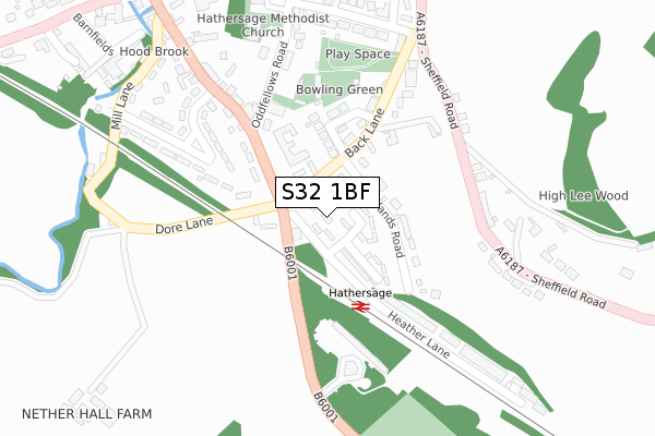
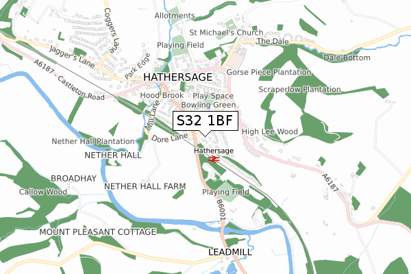
S32 1BF is located in the Hathersage electoral ward, within the local authority district of Derbyshire Dales and the English Parliamentary constituency of Derbyshire Dales. The Sub Integrated Care Board (ICB) Location is NHS Derby and Derbyshire ICB - 15M and the police force is Derbyshire. This postcode has been in use since December 2017.


GetTheData
Source: OS Open Zoomstack (Ordnance Survey)
Licence: Open Government Licence (requires attribution)
Attribution: Contains OS data © Crown copyright and database right 2025
Source: Open Postcode Geo
Licence: Open Government Licence (requires attribution)
Attribution: Contains OS data © Crown copyright and database right 2025; Contains Royal Mail data © Royal Mail copyright and database right 2025; Source: Office for National Statistics licensed under the Open Government Licence v.3.0
| Easting | 423245 |
| Northing | 381172 |
| Latitude | 53.326977 |
| Longitude | -1.652458 |
GetTheData
Source: Open Postcode Geo
Licence: Open Government Licence
| Country | England |
| Postcode District | S32 |
➜ See where S32 is on a map ➜ Where is Hathersage? | |
GetTheData
Source: Land Registry Price Paid Data
Licence: Open Government Licence
| Ward | Hathersage |
| Constituency | Derbyshire Dales |
GetTheData
Source: ONS Postcode Database
Licence: Open Government Licence
| Station Approach | Hathersage | 52m |
| Railway Station (Station Road) | Hathersage | 65m |
| Railway Station (Station Road) | Hathersage | 73m |
| High Leigh (Sheffield Road) | Hathersage | 217m |
| High Leigh (Sheffield Road) | Hathersage | 230m |
| Hathersage Station | 0.1km |
| Bamford Station | 2.8km |
| Grindleford Station | 3km |
GetTheData
Source: NaPTAN
Licence: Open Government Licence
| Percentage of properties with Next Generation Access | 100.0% |
| Percentage of properties with Superfast Broadband | 100.0% |
| Percentage of properties with Ultrafast Broadband | 0.0% |
| Percentage of properties with Full Fibre Broadband | 0.0% |
Superfast Broadband is between 30Mbps and 300Mbps
Ultrafast Broadband is > 300Mbps
| Percentage of properties unable to receive 2Mbps | 0.0% |
| Percentage of properties unable to receive 5Mbps | 0.0% |
| Percentage of properties unable to receive 10Mbps | 0.0% |
| Percentage of properties unable to receive 30Mbps | 0.0% |
GetTheData
Source: Ofcom
Licence: Ofcom Terms of Use (requires attribution)
GetTheData
Source: ONS Postcode Database
Licence: Open Government Licence


➜ Get more ratings from the Food Standards Agency
GetTheData
Source: Food Standards Agency
Licence: FSA terms & conditions
| Last Collection | |||
|---|---|---|---|
| Location | Mon-Fri | Sat | Distance |
| Station Road | 16:00 | 08:30 | 53m |
| Sheffield Road | 16:00 | 08:30 | 233m |
| Hathersage Post Office | 17:00 | 11:15 | 417m |
GetTheData
Source: Dracos
Licence: Creative Commons Attribution-ShareAlike
The below table lists the International Territorial Level (ITL) codes (formerly Nomenclature of Territorial Units for Statistics (NUTS) codes) and Local Administrative Units (LAU) codes for S32 1BF:
| ITL 1 Code | Name |
|---|---|
| TLF | East Midlands (England) |
| ITL 2 Code | Name |
| TLF1 | Derbyshire and Nottinghamshire |
| ITL 3 Code | Name |
| TLF13 | South and West Derbyshire |
| LAU 1 Code | Name |
| E07000035 | Derbyshire Dales |
GetTheData
Source: ONS Postcode Directory
Licence: Open Government Licence
The below table lists the Census Output Area (OA), Lower Layer Super Output Area (LSOA), and Middle Layer Super Output Area (MSOA) for S32 1BF:
| Code | Name | |
|---|---|---|
| OA | E00099232 | |
| LSOA | E01019614 | Derbyshire Dales 001B |
| MSOA | E02004068 | Derbyshire Dales 001 |
GetTheData
Source: ONS Postcode Directory
Licence: Open Government Licence
| S32 1DS | Fellview Close | 68m |
| S32 1DR | Ladybower Drive | 84m |
| S32 1BJ | Ninelands Road | 108m |
| S32 1DH | Dore Lane | 109m |
| S32 1BY | Roslyn Road | 124m |
| S32 1BX | Roslyn Crescent | 164m |
| S32 1AR | Back Lane | 187m |
| S32 1DL | Station Road | 243m |
| S32 1BN | Oddfellows Terrace | 247m |
| S32 1BH | Moorland Road | 259m |
GetTheData
Source: Open Postcode Geo; Land Registry Price Paid Data
Licence: Open Government Licence