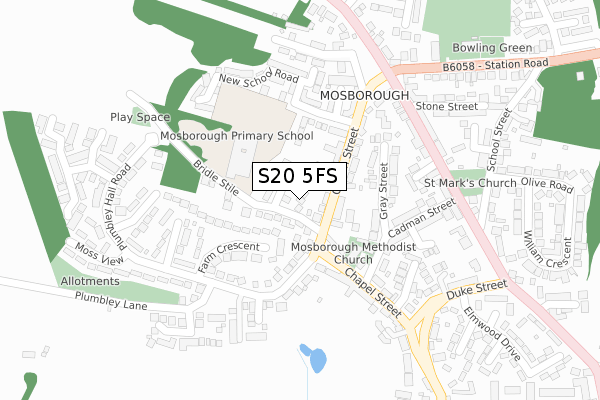
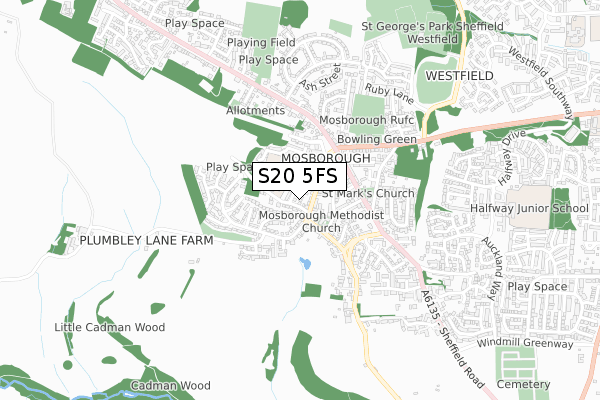
S20 5FS is located in the Mosborough electoral ward, within the metropolitan district of Sheffield and the English Parliamentary constituency of Sheffield South East. The Sub Integrated Care Board (ICB) Location is NHS South Yorkshire ICB - 03N and the police force is South Yorkshire. This postcode has been in use since September 2019.


GetTheData
Source: OS Open Zoomstack (Ordnance Survey)
Licence: Open Government Licence (requires attribution)
Attribution: Contains OS data © Crown copyright and database right 2025
Source: Open Postcode Geo
Licence: Open Government Licence (requires attribution)
Attribution: Contains OS data © Crown copyright and database right 2025; Contains Royal Mail data © Royal Mail copyright and database right 2025; Source: Office for National Statistics licensed under the Open Government Licence v.3.0
| Easting | 442340 |
| Northing | 381031 |
| Latitude | 53.324533 |
| Longitude | -1.365799 |
GetTheData
Source: Open Postcode Geo
Licence: Open Government Licence
| Country | England |
| Postcode District | S20 |
➜ See where S20 is on a map ➜ Where is Sheffield? | |
GetTheData
Source: Land Registry Price Paid Data
Licence: Open Government Licence
| Ward | Mosborough |
| Constituency | Sheffield South East |
GetTheData
Source: ONS Postcode Database
Licence: Open Government Licence
2019 30 AUG £255,000 |
GetTheData
Source: HM Land Registry Price Paid Data
Licence: Contains HM Land Registry data © Crown copyright and database right 2025. This data is licensed under the Open Government Licence v3.0.
| Chapel Street (Queen Street) | Mosborough | 63m |
| Chapel Street (Queens Street) | Mosborough | 90m |
| Farm Crescent (Plumbley Hall Road) | Plumbley | 196m |
| Farm Crescent (Plumbley Hall Road) | Plumbley | 199m |
| Cadman Street (High Street) | Mosborough | 240m |
| Halfway (Sheffield Supertram) (Eckington Way) | Halfway Tram Stop | 1,498m |
| Westfield (Sheffield Supertram) (Eckington Way) | Westfield | 1,676m |
| Waterthorpe (Sheffield Supertram) (Eckington Way) | Waterthorpe | 1,918m |
| Woodhouse Station | 4.4km |
GetTheData
Source: NaPTAN
Licence: Open Government Licence
GetTheData
Source: ONS Postcode Database
Licence: Open Government Licence


➜ Get more ratings from the Food Standards Agency
GetTheData
Source: Food Standards Agency
Licence: FSA terms & conditions
| Last Collection | |||
|---|---|---|---|
| Location | Mon-Fri | Sat | Distance |
| Queen Street | 16:00 | 09:00 | 82m |
| Mosborough Post Office | 17:00 | 11:15 | 258m |
| Mosborough Post Office | 17:00 | 11:15 | 258m |
GetTheData
Source: Dracos
Licence: Creative Commons Attribution-ShareAlike
The below table lists the International Territorial Level (ITL) codes (formerly Nomenclature of Territorial Units for Statistics (NUTS) codes) and Local Administrative Units (LAU) codes for S20 5FS:
| ITL 1 Code | Name |
|---|---|
| TLE | Yorkshire and The Humber |
| ITL 2 Code | Name |
| TLE3 | South Yorkshire |
| ITL 3 Code | Name |
| TLE32 | Sheffield |
| LAU 1 Code | Name |
| E08000019 | Sheffield |
GetTheData
Source: ONS Postcode Directory
Licence: Open Government Licence
The below table lists the Census Output Area (OA), Lower Layer Super Output Area (LSOA), and Middle Layer Super Output Area (MSOA) for S20 5FS:
| Code | Name | |
|---|---|---|
| OA | E00040682 | |
| LSOA | E01008025 | Sheffield 072D |
| MSOA | E02006803 | Sheffield 072 |
GetTheData
Source: ONS Postcode Directory
Licence: Open Government Licence
| S20 5EY | Queen Street Mews | 39m |
| S20 5BS | Bridle Stile Close | 61m |
| S20 5BR | Bridle Stile | 72m |
| S20 5BQ | Queen Street | 100m |
| S20 5BD | Farm Crescent | 106m |
| S20 5BP | Queen Street | 112m |
| S20 5ES | New School Road | 133m |
| S20 5BW | Gray Street | 158m |
| S20 5EU | New School Road | 181m |
| S20 5BE | Farm Walk | 182m |
GetTheData
Source: Open Postcode Geo; Land Registry Price Paid Data
Licence: Open Government Licence