Property/Postcode Data Search:
S2 1SR maps, stats, and open data
S2 1SR is located in the Manor Castle electoral ward, within the metropolitan district of Sheffield and the English Parliamentary constituency of Sheffield Central. The Sub Integrated Care Board (ICB) Location is NHS South Yorkshire ICB - 03N and the police force is South Yorkshire. This postcode has been in use since April 2020.
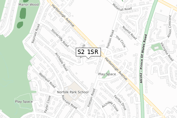
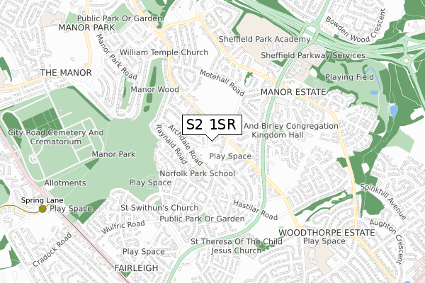
S2 1SR maps


Source: OS Open Zoomstack (Ordnance Survey)
Licence: Open Government Licence (requires attribution)
Attribution: Contains OS data © Crown copyright and database right 2025
Source: Open Postcode Geo
Licence: Open Government Licence (requires attribution)
Attribution: Contains OS data © Crown copyright and database right 2025; Contains Royal Mail data © Royal Mail copyright and database right 2025; Source: Office for National Statistics licensed under the Open Government Licence v.3.0
Licence: Open Government Licence (requires attribution)
Attribution: Contains OS data © Crown copyright and database right 2025
Source: Open Postcode Geo
Licence: Open Government Licence (requires attribution)
Attribution: Contains OS data © Crown copyright and database right 2025; Contains Royal Mail data © Royal Mail copyright and database right 2025; Source: Office for National Statistics licensed under the Open Government Licence v.3.0
S2 1SR geodata
| Easting | 438446 |
| Northing | 386033 |
| Latitude | 53.369788 |
| Longitude | -1.423651 |
Where is S2 1SR?
| Country | England |
| Postcode District | S2 |
Politics
| Ward | Manor Castle |
|---|---|
| Constituency | Sheffield Central |
Transport
Nearest bus stops to S2 1SR
| The Crossways (Harborough Avenue) | Manor Park | 74m |
| The Crossways (Harborough Avenue) | Manor Park | 80m |
| Archdale Place (Raynald Road) | Manor | 216m |
| Circle Close (Harborough Avenue) | Manor Park | 241m |
| Waltheof Road (Raynald Road) | Manor | 243m |
Nearest underground/metro/tram to S2 1SR
| Spring Lane (Sheffield Supertram) (Park Grange Road) | Fairleigh | 1,076m |
| Manor Top - Elm Tree (Sheffield Supertram) (Off Ridgeway Road) | Manor Top | 1,168m |
Nearest railway stations to S2 1SR
| Darnall Station | 1.8km |
| Sheffield Station | 2.7km |
| Woodhouse Station | 4.4km |
Deprivation
95.9% of English postcodes are less deprived than S2 1SR:Food Standards Agency
Three nearest food hygiene ratings to S2 1SR (metres)
Waterfall Elior

Archdale Road
153m
Enable (Sheffield)

33 Harborough Avenue
211m
Premier Harborough Avenue Convenience Store

130 Harborough Avenue
287m
➜ Get more ratings from the Food Standards Agency
Nearest post box to S2 1SR
| Last Collection | |||
|---|---|---|---|
| Location | Mon-Fri | Sat | Distance |
| Fretson Road | 18:00 | 09:00 | 271m |
| Lower Manor Post Office | 17:30 | 11:50 | 383m |
| Manor Post Office | 15:00 | 12:00 | 568m |
S2 1SR ITL and S2 1SR LAU
The below table lists the International Territorial Level (ITL) codes (formerly Nomenclature of Territorial Units for Statistics (NUTS) codes) and Local Administrative Units (LAU) codes for S2 1SR:
| ITL 1 Code | Name |
|---|---|
| TLE | Yorkshire and The Humber |
| ITL 2 Code | Name |
| TLE3 | South Yorkshire |
| ITL 3 Code | Name |
| TLE32 | Sheffield |
| LAU 1 Code | Name |
| E08000019 | Sheffield |
S2 1SR census areas
The below table lists the Census Output Area (OA), Lower Layer Super Output Area (LSOA), and Middle Layer Super Output Area (MSOA) for S2 1SR:
| Code | Name | |
|---|---|---|
| OA | E00040616 | |
| LSOA | E01008018 | Sheffield 039F |
| MSOA | E02001649 | Sheffield 039 |
Nearest postcodes to S2 1SR
| S2 1QJ | The Circle | 69m |
| S2 1PQ | Raynald Road | 189m |
| S2 1PW | Stonecliffe Road | 197m |
| S2 1PD | Fretson Road | 231m |
| S2 1SL | Fairfax Rise | 234m |
| S2 1PN | Archdale Road | 235m |
| S2 1PR | Raynald Road | 260m |
| S2 1FG | Prince Of Wales Road | 268m |
| S2 1HW | 283m | |
| S2 1PE | Waltheof Road | 288m |