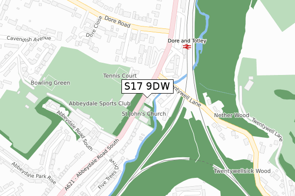
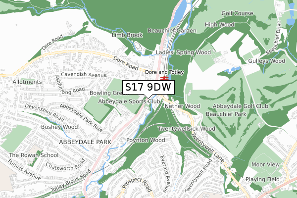
S17 9DW is located in the Dore and Totley electoral ward, within the metropolitan district of Sheffield and the English Parliamentary constituency of Sheffield, Hallam. The Sub Integrated Care Board (ICB) Location is NHS South Yorkshire ICB - 03N and the police force is South Yorkshire. This postcode has been in use since February 2019.


GetTheData
Source: OS Open Zoomstack (Ordnance Survey)
Licence: Open Government Licence (requires attribution)
Attribution: Contains OS data © Crown copyright and database right 2025
Source: Open Postcode Geo
Licence: Open Government Licence (requires attribution)
Attribution: Contains OS data © Crown copyright and database right 2025; Contains Royal Mail data © Royal Mail copyright and database right 2025; Source: Office for National Statistics licensed under the Open Government Licence v.3.0
| Easting | 432241 |
| Northing | 381126 |
| Latitude | 53.326095 |
| Longitude | -1.517401 |
GetTheData
Source: Open Postcode Geo
Licence: Open Government Licence
| Country | England |
| Postcode District | S17 |
➜ See where S17 is on a map ➜ Where is Sheffield? | |
GetTheData
Source: Land Registry Price Paid Data
Licence: Open Government Licence
| Ward | Dore And Totley |
| Constituency | Sheffield, Hallam |
GetTheData
Source: ONS Postcode Database
Licence: Open Government Licence
| Dore And Totley Station (Abbeydale Road South) | Dore | 175m |
| Dore And Totley Station (Abbeydale Road South) | Dore | 216m |
| Five Trees Drive (Abbeydale Road South) | Abbeydale Park | 226m |
| Five Trees Drive (Abbeydale Road South) | Abbeydale Park | 277m |
| Abbeydale Park Rise (Abbeydale Road South) | Abbeydale Park | 376m |
| Dore & Totley Station | 0.2km |
| Dronfield Station | 4.2km |
GetTheData
Source: NaPTAN
Licence: Open Government Licence
GetTheData
Source: ONS Postcode Database
Licence: Open Government Licence


➜ Get more ratings from the Food Standards Agency
GetTheData
Source: Food Standards Agency
Licence: FSA terms & conditions
| Last Collection | |||
|---|---|---|---|
| Location | Mon-Fri | Sat | Distance |
| Dore & Totley Station | 17:30 | 10:00 | 145m |
| Abbeydale Park Rise | 17:45 | 10:30 | 424m |
| 53 Dore Road | 17:45 | 10:00 | 544m |
GetTheData
Source: Dracos
Licence: Creative Commons Attribution-ShareAlike
The below table lists the International Territorial Level (ITL) codes (formerly Nomenclature of Territorial Units for Statistics (NUTS) codes) and Local Administrative Units (LAU) codes for S17 9DW:
| ITL 1 Code | Name |
|---|---|
| TLE | Yorkshire and The Humber |
| ITL 2 Code | Name |
| TLE3 | South Yorkshire |
| ITL 3 Code | Name |
| TLE32 | Sheffield |
| LAU 1 Code | Name |
| E08000019 | Sheffield |
GetTheData
Source: ONS Postcode Directory
Licence: Open Government Licence
The below table lists the Census Output Area (OA), Lower Layer Super Output Area (LSOA), and Middle Layer Super Output Area (MSOA) for S17 9DW:
| Code | Name | |
|---|---|---|
| OA | E00040114 | |
| LSOA | E01007918 | Sheffield 071C |
| MSOA | E02001681 | Sheffield 071 |
GetTheData
Source: ONS Postcode Directory
Licence: Open Government Licence
| S17 4QD | Twentywell Lane | 57m |
| S17 3LF | Abbeydale Road South | 128m |
| S17 3LQ | Ladies Spring Drive | 130m |
| S17 3LR | Ladies Spring Grove | 147m |
| S17 3LA | Abbeydale Road South | 178m |
| S17 3LY | Five Trees Close | 225m |
| S17 3PU | Dore Close | 284m |
| S17 3NA | Dore Road | 314m |
| S17 3LX | Five Trees Drive | 314m |
| S17 3LW | Five Trees Avenue | 337m |
GetTheData
Source: Open Postcode Geo; Land Registry Price Paid Data
Licence: Open Government Licence