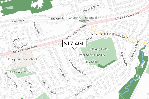
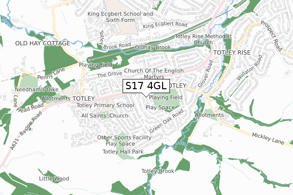
S17 4GL is located in the Dore and Totley electoral ward, within the metropolitan district of Sheffield and the English Parliamentary constituency of Sheffield, Hallam. The Sub Integrated Care Board (ICB) Location is NHS South Yorkshire ICB - 03N and the police force is South Yorkshire. This postcode has been in use since October 2018.


GetTheData
Source: OS Open Zoomstack (Ordnance Survey)
Licence: Open Government Licence (requires attribution)
Attribution: Contains OS data © Crown copyright and database right 2025
Source: Open Postcode Geo
Licence: Open Government Licence (requires attribution)
Attribution: Contains OS data © Crown copyright and database right 2025; Contains Royal Mail data © Royal Mail copyright and database right 2025; Source: Office for National Statistics licensed under the Open Government Licence v.3.0
| Easting | 431178 |
| Northing | 379806 |
| Latitude | 53.314294 |
| Longitude | -1.533489 |
GetTheData
Source: Open Postcode Geo
Licence: Open Government Licence
| Country | England |
| Postcode District | S17 |
➜ See where S17 is on a map ➜ Where is Sheffield? | |
GetTheData
Source: Land Registry Price Paid Data
Licence: Open Government Licence
| Ward | Dore And Totley |
| Constituency | Sheffield, Hallam |
GetTheData
Source: ONS Postcode Database
Licence: Open Government Licence
| Main Avenue (Baslow Road) | Totley | 135m |
| Main Avenue (Baslow Road) | Totley | 143m |
| Mickley Lane (Baslow Road) | Totley | 190m |
| The Crescent (Baslow Road) | Totley | 212m |
| Totley Hall Lane (Baslow Road) | Totley | 405m |
| Dore & Totley Station | 1.9km |
| Dronfield Station | 4.5km |
GetTheData
Source: NaPTAN
Licence: Open Government Licence
| Percentage of properties with Next Generation Access | 100.0% |
| Percentage of properties with Superfast Broadband | 100.0% |
| Percentage of properties with Ultrafast Broadband | 100.0% |
| Percentage of properties with Full Fibre Broadband | 100.0% |
Superfast Broadband is between 30Mbps and 300Mbps
Ultrafast Broadband is > 300Mbps
| Percentage of properties unable to receive 2Mbps | 0.0% |
| Percentage of properties unable to receive 5Mbps | 0.0% |
| Percentage of properties unable to receive 10Mbps | 0.0% |
| Percentage of properties unable to receive 30Mbps | 0.0% |
GetTheData
Source: Ofcom
Licence: Ofcom Terms of Use (requires attribution)
GetTheData
Source: ONS Postcode Database
Licence: Open Government Licence


➜ Get more ratings from the Food Standards Agency
GetTheData
Source: Food Standards Agency
Licence: FSA terms & conditions
| Last Collection | |||
|---|---|---|---|
| Location | Mon-Fri | Sat | Distance |
| Main Avenue | 16:00 | 10:30 | 175m |
| The Crescent | 16:00 | 10:30 | 214m |
| Green Oak Road | 16:00 | 10:30 | 288m |
GetTheData
Source: Dracos
Licence: Creative Commons Attribution-ShareAlike
The below table lists the International Territorial Level (ITL) codes (formerly Nomenclature of Territorial Units for Statistics (NUTS) codes) and Local Administrative Units (LAU) codes for S17 4GL:
| ITL 1 Code | Name |
|---|---|
| TLE | Yorkshire and The Humber |
| ITL 2 Code | Name |
| TLE3 | South Yorkshire |
| ITL 3 Code | Name |
| TLE32 | Sheffield |
| LAU 1 Code | Name |
| E08000019 | Sheffield |
GetTheData
Source: ONS Postcode Directory
Licence: Open Government Licence
The below table lists the Census Output Area (OA), Lower Layer Super Output Area (LSOA), and Middle Layer Super Output Area (MSOA) for S17 4GL:
| Code | Name | |
|---|---|---|
| OA | E00040147 | |
| LSOA | E01007925 | Sheffield 068D |
| MSOA | E02001678 | Sheffield 068 |
GetTheData
Source: ONS Postcode Directory
Licence: Open Government Licence
| S17 4FW | Green Oak Crescent | 79m |
| S17 4FZ | Green Oak Avenue | 90m |
| S17 4FT | Green Oak Avenue | 97m |
| S17 4DT | Baslow Road | 121m |
| S17 4HA | Lemont Road | 121m |
| S17 4DU | Baslow Road | 146m |
| S17 4DS | Baslow Road | 147m |
| S17 4FG | Main Avenue | 153m |
| S17 4FX | Green Oak Drive | 189m |
| S17 4GH | New Haven Gardens | 200m |
GetTheData
Source: Open Postcode Geo; Land Registry Price Paid Data
Licence: Open Government Licence