Property/Postcode Data Search:
RM7 9DF maps, stats, and open data
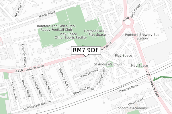
RM7 9DF is located in the Rush Green & Crowlands electoral ward, within the London borough of Havering and the English Parliamentary constituency of Romford. The Sub Integrated Care Board (ICB) Location is NHS North East London ICB - A3A8R and the police force is Metropolitan Police. This postcode has been in use since October 2019.
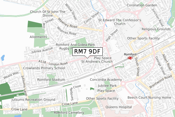
RM7 9DF maps


Source: OS Open Zoomstack (Ordnance Survey)
Licence: Open Government Licence (requires attribution)
Attribution: Contains OS data © Crown copyright and database right 2025
Source: Open Postcode Geo
Licence: Open Government Licence (requires attribution)
Attribution: Contains OS data © Crown copyright and database right 2025; Contains Royal Mail data © Royal Mail copyright and database right 2025; Source: Office for National Statistics licensed under the Open Government Licence v.3.0
Licence: Open Government Licence (requires attribution)
Attribution: Contains OS data © Crown copyright and database right 2025
Source: Open Postcode Geo
Licence: Open Government Licence (requires attribution)
Attribution: Contains OS data © Crown copyright and database right 2025; Contains Royal Mail data © Royal Mail copyright and database right 2025; Source: Office for National Statistics licensed under the Open Government Licence v.3.0
RM7 9DF geodata
| Easting | 550726 |
| Northing | 188442 |
| Latitude | 51.574701 |
| Longitude | 0.173690 |
Where is RM7 9DF?
| Country | England |
| Postcode District | RM7 |
Politics
| Ward | Rush Green & Crowlands |
|---|---|
| Constituency | Romford |
Transport
Nearest bus stops to RM7 9DF
| Cotleigh Road (London Road) | Romford | 33m |
| Cotleigh Road | Romford | 52m |
| Knightsbridge Gardens (London Road) | Romford | 227m |
| Richards Avenue (London Road) | Rush Green | 255m |
| The Brewery (Waterloo Road) | Romford | 310m |
Nearest railway stations to RM7 9DF
| Romford Station | 0.7km |
| Gidea Park Station | 2.4km |
| Chadwell Heath Station | 3.2km |
Deprivation
81.2% of English postcodes are less deprived than RM7 9DF:Food Standards Agency
Three nearest food hygiene ratings to RM7 9DF (metres)
The Sun

47 London Road
128m
Budgens

57-63 London Road
128m
Wah Ping

51-55 London Road
128m
➜ Get more ratings from the Food Standards Agency
Nearest post box to RM7 9DF
| Last Collection | |||
|---|---|---|---|
| Location | Mon-Fri | Sat | Distance |
| The Rotunda | 17:15 | 11:45 | 384m |
| Mawney Road Post Office | 17:15 | 11:30 | 403m |
| South Street Business Box | 18:30 | 553m | |
RM7 9DF ITL and RM7 9DF LAU
The below table lists the International Territorial Level (ITL) codes (formerly Nomenclature of Territorial Units for Statistics (NUTS) codes) and Local Administrative Units (LAU) codes for RM7 9DF:
| ITL 1 Code | Name |
|---|---|
| TLI | London |
| ITL 2 Code | Name |
| TLI5 | Outer London - East and North East |
| ITL 3 Code | Name |
| TLI52 | Barking & Dagenham and Havering |
| LAU 1 Code | Name |
| E09000016 | Havering |
RM7 9DF census areas
The below table lists the Census Output Area (OA), Lower Layer Super Output Area (LSOA), and Middle Layer Super Output Area (MSOA) for RM7 9DF:
| Code | Name | |
|---|---|---|
| OA | E00011764 | |
| LSOA | E01002356 | Havering 013C |
| MSOA | E02000476 | Havering 013 |
Nearest postcodes to RM7 9DF
| RM7 9QE | London Road | 39m |
| RM7 9AE | Cotleigh Road | 51m |
| RM7 9AT | St Andrews Road | 75m |
| RM7 9QU | London Road | 79m |
| RM7 9AH | Cotleigh Road | 81m |
| RM7 9AJ | Honiton Road | 93m |
| RM7 9QF | Old Mill Place | 98m |
| RM7 9QA | London Road | 139m |
| RM7 9AS | Cotleigh Road | 140m |
| RM7 9QN | London Road | 148m |