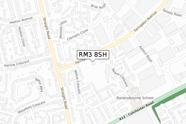
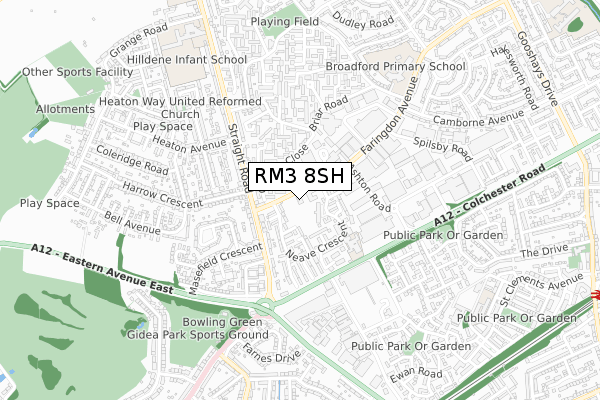
RM3 8SH is located in the Heaton electoral ward, within the London borough of Havering and the English Parliamentary constituency of Hornchurch and Upminster. The Sub Integrated Care Board (ICB) Location is NHS North East London ICB - A3A8R and the police force is Metropolitan Police. This postcode has been in use since May 2019.


GetTheData
Source: OS Open Zoomstack (Ordnance Survey)
Licence: Open Government Licence (requires attribution)
Attribution: Contains OS data © Crown copyright and database right 2025
Source: Open Postcode Geo
Licence: Open Government Licence (requires attribution)
Attribution: Contains OS data © Crown copyright and database right 2025; Contains Royal Mail data © Royal Mail copyright and database right 2025; Source: Office for National Statistics licensed under the Open Government Licence v.3.0
| Easting | 553366 |
| Northing | 190894 |
| Latitude | 51.596020 |
| Longitude | 0.212825 |
GetTheData
Source: Open Postcode Geo
Licence: Open Government Licence
| Country | England |
| Postcode District | RM3 |
➜ See where RM3 is on a map ➜ Where is London? | |
GetTheData
Source: Land Registry Price Paid Data
Licence: Open Government Licence
| Ward | Heaton |
| Constituency | Hornchurch And Upminster |
GetTheData
Source: ONS Postcode Database
Licence: Open Government Licence
| Masefield Crescent (Straight Road) | Gidea Park | 31m |
| Neave Crescent (Faringdon Avenue) | Gidea Park | 73m |
| Faringdon Avenue (Straight Road) | Gidea Park | 105m |
| Gallows Corner (Straight Road) | Gidea Park | 210m |
| Neave Crescent (Faringdon Avenue) | Gidea Park | 249m |
| Harold Wood Station | 1.5km |
| Gidea Park Station | 1.6km |
| Emerson Park Station | 3.1km |
GetTheData
Source: NaPTAN
Licence: Open Government Licence
| Percentage of properties with Next Generation Access | 100.0% |
| Percentage of properties with Superfast Broadband | 100.0% |
| Percentage of properties with Ultrafast Broadband | 0.0% |
| Percentage of properties with Full Fibre Broadband | 0.0% |
Superfast Broadband is between 30Mbps and 300Mbps
Ultrafast Broadband is > 300Mbps
| Percentage of properties unable to receive 2Mbps | 0.0% |
| Percentage of properties unable to receive 5Mbps | 0.0% |
| Percentage of properties unable to receive 10Mbps | 0.0% |
| Percentage of properties unable to receive 30Mbps | 0.0% |
GetTheData
Source: Ofcom
Licence: Ofcom Terms of Use (requires attribution)
GetTheData
Source: ONS Postcode Database
Licence: Open Government Licence


➜ Get more ratings from the Food Standards Agency
GetTheData
Source: Food Standards Agency
Licence: FSA terms & conditions
| Last Collection | |||
|---|---|---|---|
| Location | Mon-Fri | Sat | Distance |
| Farringdon Avenue | 17:00 | 12:45 | 733m |
| Harold Hill Post Office | 17:30 | 12:00 | 1,327m |
| Queens Hospital | 17:30 | 12:30 | 1,402m |
GetTheData
Source: Dracos
Licence: Creative Commons Attribution-ShareAlike
The below table lists the International Territorial Level (ITL) codes (formerly Nomenclature of Territorial Units for Statistics (NUTS) codes) and Local Administrative Units (LAU) codes for RM3 8SH:
| ITL 1 Code | Name |
|---|---|
| TLI | London |
| ITL 2 Code | Name |
| TLI5 | Outer London - East and North East |
| ITL 3 Code | Name |
| TLI52 | Barking & Dagenham and Havering |
| LAU 1 Code | Name |
| E09000016 | Havering |
GetTheData
Source: ONS Postcode Directory
Licence: Open Government Licence
The below table lists the Census Output Area (OA), Lower Layer Super Output Area (LSOA), and Middle Layer Super Output Area (MSOA) for RM3 8SH:
| Code | Name | |
|---|---|---|
| OA | E00011549 | |
| LSOA | E01002310 | Havering 006B |
| MSOA | E02000469 | Havering 006 |
GetTheData
Source: ONS Postcode Directory
Licence: Open Government Licence
| RM3 8DZ | Appledore Close | 43m |
| RM3 7JB | Straight Road | 45m |
| RM3 8SG | Faringdon Avenue | 56m |
| RM3 8AB | Straight Road | 109m |
| RM3 8ES | Clematis Close | 134m |
| RM3 8HZ | Bideford Close | 139m |
| RM3 7PB | Masefield Crescent | 146m |
| RM3 8AA | Straight Road | 152m |
| RM3 8HY | Dawlish Walk | 152m |
| RM3 8ET | Buckbean Path | 158m |
GetTheData
Source: Open Postcode Geo; Land Registry Price Paid Data
Licence: Open Government Licence