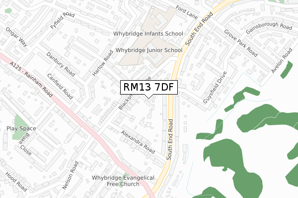
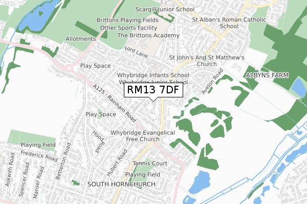
RM13 7DF is located in the South Hornchurch electoral ward, within the London borough of Havering and the English Parliamentary constituency of Dagenham and Rainham. The Sub Integrated Care Board (ICB) Location is NHS North East London ICB - A3A8R and the police force is Metropolitan Police. This postcode has been in use since April 2018.


GetTheData
Source: OS Open Zoomstack (Ordnance Survey)
Licence: Open Government Licence (requires attribution)
Attribution: Contains OS data © Crown copyright and database right 2025
Source: Open Postcode Geo
Licence: Open Government Licence (requires attribution)
Attribution: Contains OS data © Crown copyright and database right 2025; Contains Royal Mail data © Royal Mail copyright and database right 2025; Source: Office for National Statistics licensed under the Open Government Licence v.3.0
| Easting | 551978 |
| Northing | 183706 |
| Latitude | 51.531813 |
| Longitude | 0.189700 |
GetTheData
Source: Open Postcode Geo
Licence: Open Government Licence
| Country | England |
| Postcode District | RM13 |
➜ See where RM13 is on a map ➜ Where is London? | |
GetTheData
Source: Land Registry Price Paid Data
Licence: Open Government Licence
| Ward | South Hornchurch |
| Constituency | Dagenham And Rainham |
GetTheData
Source: ONS Postcode Database
Licence: Open Government Licence
| Alexandra Road (Rm13) (South End Road) | South Hornchurch | 161m |
| South Hornchurch Library | South Hornchurch | 198m |
| Alexandra Road (Rm13) (South End Road) | South Hornchurch | 199m |
| South Hornchurch Library | South Hornchurch | 230m |
| Ford Lane (South End Road) | South Hornchurch | 274m |
| Rainham (London) Station | 1.7km |
| Dagenham Dock Station | 3.1km |
| Emerson Park Station | 4.6km |
GetTheData
Source: NaPTAN
Licence: Open Government Licence
| Percentage of properties with Next Generation Access | 100.0% |
| Percentage of properties with Superfast Broadband | 100.0% |
| Percentage of properties with Ultrafast Broadband | 0.0% |
| Percentage of properties with Full Fibre Broadband | 0.0% |
Superfast Broadband is between 30Mbps and 300Mbps
Ultrafast Broadband is > 300Mbps
| Percentage of properties unable to receive 2Mbps | 0.0% |
| Percentage of properties unable to receive 5Mbps | 0.0% |
| Percentage of properties unable to receive 10Mbps | 0.0% |
| Percentage of properties unable to receive 30Mbps | 0.0% |
GetTheData
Source: Ofcom
Licence: Ofcom Terms of Use (requires attribution)
GetTheData
Source: ONS Postcode Database
Licence: Open Government Licence


➜ Get more ratings from the Food Standards Agency
GetTheData
Source: Food Standards Agency
Licence: FSA terms & conditions
| Last Collection | |||
|---|---|---|---|
| Location | Mon-Fri | Sat | Distance |
| Fairview Avenue Post Office | 18:30 | 12:00 | 1,365m |
| Wennington | 17:15 | 12:15 | 1,831m |
| Hunters Hall Road | 17:00 | 12:00 | 1,960m |
GetTheData
Source: Dracos
Licence: Creative Commons Attribution-ShareAlike
The below table lists the International Territorial Level (ITL) codes (formerly Nomenclature of Territorial Units for Statistics (NUTS) codes) and Local Administrative Units (LAU) codes for RM13 7DF:
| ITL 1 Code | Name |
|---|---|
| TLI | London |
| ITL 2 Code | Name |
| TLI5 | Outer London - East and North East |
| ITL 3 Code | Name |
| TLI52 | Barking & Dagenham and Havering |
| LAU 1 Code | Name |
| E09000016 | Havering |
GetTheData
Source: ONS Postcode Directory
Licence: Open Government Licence
The below table lists the Census Output Area (OA), Lower Layer Super Output Area (LSOA), and Middle Layer Super Output Area (MSOA) for RM13 7DF:
| Code | Name | |
|---|---|---|
| OA | E00011820 | |
| LSOA | E01002373 | Havering 027D |
| MSOA | E02000490 | Havering 027 |
GetTheData
Source: ONS Postcode Directory
Licence: Open Government Licence
| RM13 7AE | Anvil Mews | 66m |
| RM13 7XP | South End Road | 78m |
| RM13 7AD | Blacksmiths Lane | 90m |
| RM13 7AH | Blacksmiths Lane | 90m |
| RM13 7XJ | South End Road | 121m |
| RM13 7UH | Oliver Road | 144m |
| RM13 7AA | Alexandra Road | 155m |
| RM13 7RH | Rainham Road | 178m |
| RM13 7AJ | Guysfield Drive | 202m |
| RM13 7SA | Rainham Road | 207m |
GetTheData
Source: Open Postcode Geo; Land Registry Price Paid Data
Licence: Open Government Licence